In recent years, the application of multirotor drone technology in topographic surveying has revolutionized data collection in challenging terrains, particularly in mountain reservoir projects. Traditional surveying methods in such regions are often hindered by complex topography, high vegetation coverage, and limited accessibility, leading to increased costs, reduced efficiency, and potential safety risks. As a researcher involved in hydraulic engineering, I have explored the use of multirotor drone-based aerial surveying to address these challenges. This article delves into the principles, equipment selection, field data collection, and accuracy analysis of multirotor drone aerial surveys, focusing on a case study in a mountain reservoir area. By leveraging multirotor drone capabilities, we aim to achieve high-precision, efficient, and cost-effective measurements, which are critical for reservoir management, flood control, and irrigation planning. The integration of multirotor drone systems allows for comprehensive data acquisition, including both above-water and underwater terrain, through complementary technologies like sonar-equipped unmanned vessels. Throughout this work, the term ‘multirotor drone’ is emphasized to highlight its pivotal role in modern geospatial applications.
The fundamental principle underlying multirotor drone aerial surveying is based on the pinhole camera model, which describes how three-dimensional objects are projected onto a two-dimensional image plane. In multirotor drone systems, this is extended to oblique photography, where multiple cameras capture images from different angles, enabling detailed 3D reconstructions. For a point \( M = (x, y, z, 1)^T \) in space, its projection onto the image plane \( R \) at point \( W = (x’, y’, z’, 1)^T \) follows the similarity relationship derived from optical geometry. The relationship can be expressed as:
$$ \frac{f}{z} = \frac{x’}{x} = \frac{y’}{y} $$
where \( f \) represents the focal length. The pixel coordinates \( (u, v, 1)^T \) of the image point \( W \) are related to the offset of the principal point \( (u_c, v_c, 1)^T \) by:
$$ u = \alpha x’ + u_c $$
$$ v = \beta y’ + v_c $$
Here, \( \alpha \) and \( \beta \) are scaling factors. Combining these equations, we obtain the transformation matrix:
$$ \lambda m = \begin{bmatrix} f_u & \gamma & u_c \\ 0 & f_v & v_c \\ 0 & 0 & 1 \end{bmatrix} A $$
where \( \lambda \) is the depth factor, \( f_u = \alpha f \) and \( f_v = \beta f \) are scale factors, \( \gamma \) is the skew factor, and \( A \) is the camera intrinsic matrix. This mathematical foundation is crucial for processing images captured by multirotor drone systems, as it enables accurate georeferencing and 3D modeling. In multirotor drone applications, these principles are applied to generate high-resolution orthophotos and digital elevation models (DEMs), which are essential for analyzing reservoir topography.
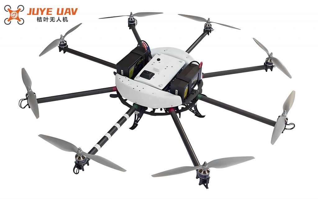
Selecting the appropriate multirotor drone platform is vital for successful aerial surveys in mountain reservoirs. Multirotor drones, such as quadcopters, offer distinct advantages over fixed-wing and single-rotor alternatives, including vertical take-off and landing, hover capability, and flexibility in flight paths. These features make multirotor drone systems ideal for navigating complex terrains where access is limited. For instance, in our study, we employed a DJI Mavic 2 Pro multirotor drone equipped with a high-precision oblique camera system. This multirotor drone model has a take-off weight of 908 g, a maximum ascent speed of 5 m/s, and a horizontal flight speed of up to 72 km/h. Its RTK positioning system ensures accuracy within 1 cm horizontally and 1.5 cm vertically, while the flight time of approximately 31 minutes allows for extensive coverage. The attached camera, a RIEGL DG4Pros full-frame five-lens oblique system, features lenses with tilt angles of 45° and 50°, a 1-inch CMOS sensor with 20 million effective pixels, and an aperture range of f/2.8 to f/11. This multirotor drone setup facilitates the capture of high-overlap imagery, with航向重叠率 (along-track overlap) and旁向重叠率 (cross-track overlap) exceeding 80% and 60%, respectively, ensuring comprehensive data acquisition.
The following table compares different types of drone platforms, highlighting why multirotor drone systems are preferred for mountain reservoir surveys:
| Type | Advantages | Disadvantages |
|---|---|---|
| Fixed-Wing | Long endurance, high speed, suitable for large areas | Requires runway, less maneuverability, cannot hover |
| Single-Rotor | Vertical take-off and landing, good for heavy payloads | High maintenance, complex operation, noisy |
| Multirotor Drone | Flexible take-off/landing, hovering capability, easy operation | Limited flight time, lower speed, smaller payload |
In the field data collection phase, we deployed the multirotor drone over a mountain reservoir characterized by steep valleys and dense vegetation. A total of 44 control points were established, including 32 for平面控制 (planar control) and 12 for高程控制 (elevation control). The surveying was divided into above-water and underwater sections; the latter utilized sonar technology on unmanned vessels, while the multirotor drone handled the above-water terrain. Flights were conducted in August during clear weather conditions to minimize atmospheric disturbances. Over 10 days, we completed 8 flight sorties with the multirotor drone, covering a total distance of 690.5 km and capturing 4,040 images across an area of 240 km². The multirotor drone was programmed to maintain a航向重叠率 of at least 80% and a旁向重叠率 of 60%, with an average ground resolution of 0.15 m. The table below summarizes the flight parameters for each sortie, demonstrating the consistency achieved with the multirotor drone system:
| Sortie | Focal Length (mm) | Images Captured | Terrain Type | Absolute Altitude (m) | Baseline Distance (m) | Route Distance (m) | Average Resolution (m) | Along-Track Overlap (%) | Cross-Track Overlap (%) |
|---|---|---|---|---|---|---|---|---|---|
| 1 | 28 | 505 | Hilly | 1200 | 200 | 655 | 0.15 | 86.8 | 99.6 |
| 2 | 28 | 505 | Hilly | 1200 | 200 | 655 | 0.15 | 82.9 | 94.3 |
| 3 | 28 | 505 | Water Surface | 1200 | 200 | 655 | 0.15 | 84.0 | 92.6 |
| 4 | 28 | 505 | Water Surface | 1200 | 200 | 655 | 0.15 | 80.6 | 99.7 |
| 5 | 28 | 505 | Water Surface | 1200 | 200 | 655 | 0.15 | 89.0 | 87.4 |
| 6 | 28 | 505 | Water Surface | 1200 | 200 | 655 | 0.15 | 84.8 | 82.9 |
| 7 | 28 | 505 | Hilly | 1200 | 200 | 655 | 0.15 | 89.1 | 97.0 |
| 8 | 28 | 505 | Hilly | 1200 | 200 | 655 | 0.15 | 86.4 | 87.7 |
To assess the accuracy of the multirotor drone aerial survey, we performed a rigorous analysis of model connection discrepancies and aerial triangulation encryption. The model connection differences were calculated for each axis, with the planar difference derived as \( \Delta P = \sqrt{\Delta X^2 + \Delta Y^2} \), where \( \Delta X \) and \( \Delta Y \) are the discrepancies in the X and Y axes, respectively. The results, as shown in the table below, indicate that the planar differences range from 0.150 m to 0.321 m, well within the allowable limit of 0.690 m, while the elevation differences (Z-axis) range from 0.047 m to 0.108 m, satisfying the 1.300 m threshold. This demonstrates the high precision achievable with multirotor drone technology in challenging environments.
| Model Connection ID | X-axis Difference (m) | Y-axis Difference (m) | Z-axis Difference (m) | Planar Difference (m) | Allowable Planar Difference (m) | Elevation Difference (m) | Allowable Elevation Difference (m) |
|---|---|---|---|---|---|---|---|
| 1 | 0.134 | 0.209 | 0.103 | 0.248 | 0.690 | 0.103 | 1.300 |
| 2 | 0.227 | 0.227 | 0.091 | 0.321 | 0.690 | 0.091 | 1.300 |
| 3 | 0.065 | 0.135 | 0.049 | 0.150 | 0.690 | 0.049 | 1.300 |
| 4 | 0.196 | 0.204 | 0.042 | 0.283 | 0.690 | 0.042 | 1.300 |
| 5 | 0.131 | 0.160 | 0.102 | 0.207 | 0.690 | 0.102 | 1.300 |
| 6 | 0.135 | 0.238 | 0.108 | 0.274 | 0.690 | 0.108 | 1.300 |
| 7 | 0.091 | 0.098 | 0.047 | 0.134 | 0.690 | 0.047 | 1.300 |
| 8 | 0.141 | 0.209 | 0.100 | 0.252 | 0.690 | 0.100 | 1.300 |
Furthermore, the aerial triangulation encryption accuracy was evaluated for a 1:5,000 scale mapping. The mean square error (MSE) for planar and elevation components was computed using the formulas \( \text{MSE}_{\text{planar}} = \sqrt{\frac{\sum \Delta P^2}{n}} \) and \( \text{MSE}_{\text{elevation}} = \sqrt{\frac{\sum \Delta Z^2}{n}} \), where \( n \) is the number of observations. The results show that the maximum planar MSE is 0.09 mm, the minimum is 0.04 mm, and the average is 0.07 mm, all within the allowable limit of 1.75 m. For elevation, the maximum MSE is 0.23 m, the minimum is 0.09 m, and the average is 0.16 m, meeting the 0.35 m threshold. This underscores the reliability of multirotor drone systems in producing high-precision topographic data for reservoir engineering applications.
The integration of multirotor drone aerial surveying in mountain reservoir measurements has proven to be a transformative approach, offering significant advantages in efficiency, cost-effectiveness, and accuracy. By utilizing a multirotor drone platform, we were able to cover large areas quickly, with detailed imagery that facilitated precise 3D modeling. The accuracy analysis confirms that multirotor drone technology meets stringent surveying standards, even in complex terrains. Future work could focus on enhancing multirotor drone endurance and integrating artificial intelligence for automated feature extraction. In conclusion, the multirotor drone is an indispensable tool for modern hydraulic engineering, enabling sustainable reservoir management and disaster mitigation in mountainous regions.