
In my experience working on water conservancy projects, the accurate measurement of earthwork volumes is a critical yet challenging task. Traditional methods, such as using levels, theodolites, and total stations, rely heavily on manual surveying of topographic maps and cross-sections. These approaches are not only labor-intensive and time-consuming but also prone to significant measurement errors. In complex terrains, they pose safety risks to personnel. During inspections and audits, I have often observed substantial data discrepancies, leading some projects to settle based on contractual quantities rather than actual measured volumes. This undermines authenticity and creates opportunities for malpractice like cutting corners. Therefore, finding rapid, accurate, efficient, and systematic methods for calculating earthwork quantities in various water conservancy projects has become a pressing issue.
Drone technology, including unmanned aerial vehicles (UAVs) and unmanned surface vessels (USVs), has matured significantly in recent years. By equipping drones with LiDAR or multi/single-beam bathymetric systems, we can collect underwater terrain data through orthophoto imagery叠加 laser point clouds. This technology offers flexibility, safety, and high efficiency. Compared to traditional methods, it saves labor and time, provides comprehensive coverage, high precision, minimal error, and reliable data. Earthwork measurement becomes more holistic and intuitive. When integrated with digital platforms, it facilitates inspection,复核, and assessment, reducing human intervention and enhancing监管 efficacy. This essay discusses the necessity and feasibility of drone technology in earthwork measurement, drawing from practical applications, and proposes recommendations for its widespread adoption to improve construction quality and efficiency in water conservancy projects.
The core advantage of drones lies in their ability to capture high-density, high-accuracy three-dimensional data. Using radar point cloud technology, we can obtain detailed terrain models that reveal subtle undulations and complex shapes, avoiding errors from insufficient data sampling. For design purposes, this allows for virtual design and方案比选, optimizing plans before construction. The efficiency gains are substantial; drones can quickly survey large areas, even in challenging environments like rivers or gorges, with厘米级 precision. Advanced analytical models, such as Digital Elevation Models (DEM), enable precise volume calculations. The error can be controlled within 10%, offering scientific basis for工程决策. During construction, drones scan pre- and post-excavation terrain, eliminating vegetation interference to derive accurate surface point clouds. By comparing these, we compute earthwork volumes and promptly identify issues like over-excavation or under-excavation. For验收, point cloud data ensures comprehensive coverage, enabling quick comparison with design models to visualize deviations. This digital验收档案 serves as a valuable data repository for future projects.
To quantify these benefits, consider the following table comparing traditional surveying methods with drone-based approaches:
| Aspect | Traditional Surveying | Drone-Based Surveying |
|---|---|---|
| Time Efficiency | Days to weeks for data collection and processing | Hours for data collection; 4 hours for processing |
| Cost | High due to labor and equipment | Lower overall cost; market rate ~$1,800 per km² for two surveys |
| Precision | Moderate, with errors up to 15% in complex terrains | High, with errors controlled within 2-10% |
| Safety | Risky in hazardous areas | Enhanced safety via remote operation |
| Environmental Impact | High energy consumption (~1000 L diesel per km²) | Low energy consumption (~50 kWh per km²) |
| Data Coverage | Limited to sampled points | Comprehensive, full-area point clouds |
In earthwork volume calculation, mathematical models play a crucial role. The volume V between two surfaces (e.g., pre- and post-excavation) can be computed using integration over the area. For a continuous surface represented by elevation functions z_before(x,y) and z_after(x,y), the volume is given by:
$$ V = \iint_{A} (z_{\text{after}}(x,y) – z_{\text{before}}(x,y)) \, dx \, dy $$
In practice, we use discrete point cloud data to create a Digital Elevation Model (DEM). The volume can be approximated by summing the volume contributions of each grid cell. If the area is divided into n cells, each with area A_i and elevation difference Δz_i, then:
$$ V = \sum_{i=1}^{n} A_i \cdot \Delta z_i $$
The error in volume calculation can be assessed using relative error formulas. For measured volume V_m and actual volume V_a, the percentage error E is:
$$ E = \frac{|V_m – V_a|}{V_a} \times 100\% $$
With drone technology, E can be minimized to below 10%, as demonstrated in field applications. To further illustrate, consider a case where point cloud density affects accuracy. The point density ρ (points per square meter) influences the resolution of the DEM. Higher density leads to smaller A_i and more accurate Δz_i estimates. A simple relationship for error reduction is:
$$ \sigma_V \propto \frac{1}{\sqrt{\rho}} $$
where σ_V is the standard deviation of volume error. This underscores the importance of high-density data采集 from drones.
A concrete example is the Chaohe River management project in Dongying Municipality. This involved dredging and疏浚 over 18.75 km, with a designed riverbed width of 70-90 m and slopes of 1:3. Drones equipped with LiDAR were deployed for土方计量. The process involved pre- and post-construction surveys, with data processed within 4 hours. Key outcomes included a 4% increase in precision compared to traditional断面法, representing approximately 328,000 m³ of earthwork, and cost savings of over 3 million yuan. The error was controlled within 2%, meeting engineering standards. Efficiency improved fourfold, and综合成本 dropped by 35%. Below is a table summarizing the project metrics:
| Metric | Value | Notes |
|---|---|---|
| Project Length | 18.75 km | River channel |
| Drone Survey Cost | ~$6,000 per km | Based on河宽 300 m |
| Volume Precision Gain | 4% | Vs. traditional method |
| Cost Savings | > $300,000 | From reduced labor and errors |
| Error Rate | < 2% | Controlled via LiDAR |
| Energy Savings | 95% reduction | Electricity vs. diesel |
Despite these advantages, challenges persist. Adverse weather (e.g., strong winds, heavy rain) can compromise drone safety and data quality. Electromagnetic interference in某些区域 may disrupt信号传输, leading to data loss. To address this, I recommend establishing meteorological monitoring systems to schedule tasks accordingly. For水域测量, assess wave conditions and implement mitigation measures. Optimize data processing workflows and hardware配置 to speed up computations. In interference-prone areas, use signal boosters like repeaters or high-gain antennas. Implement real-time data backup systems to prevent loss.
A critical aspect for successful adoption is drone training. Ensuring that personnel are proficient in operating drones and processing data is essential. Currently, many operators lack formal certification, and legal frameworks are underdeveloped. Drone training programs should cover flight operations, data采集 protocols, and safety regulations. I emphasize that comprehensive drone training reduces accidents and improves data accuracy. For instance, training modules can include:
- Basic drone piloting and maintenance
- LiDAR data collection techniques
- Point cloud processing using software like CloudCompare or AutoCAD
- Volume calculation algorithms and error analysis
- Legal and ethical guidelines for drone use
Drone training must be ongoing, with regular refresher courses to keep pace with technological advancements. Investing in drone training not only enhances skills but also fosters a culture of safety and innovation. Below is a proposed curriculum table for drone training in water conservancy projects:
| Training Module | Duration | Key Topics | Outcome |
|---|---|---|---|
| Foundation Course | 40 hours | Drone mechanics, flight laws, safety protocols | Certified pilot license |
| Data Acquisition | 30 hours | Sensor integration, mission planning, field practice | Ability to conduct surveys independently |
| Data Processing | 50 hours | Software tools, DEM generation, volume computation | Proficiency in analysis and reporting |
| Advanced Applications | 20 hours | Integration with BIM, real-time monitoring | Skills for complex project management |
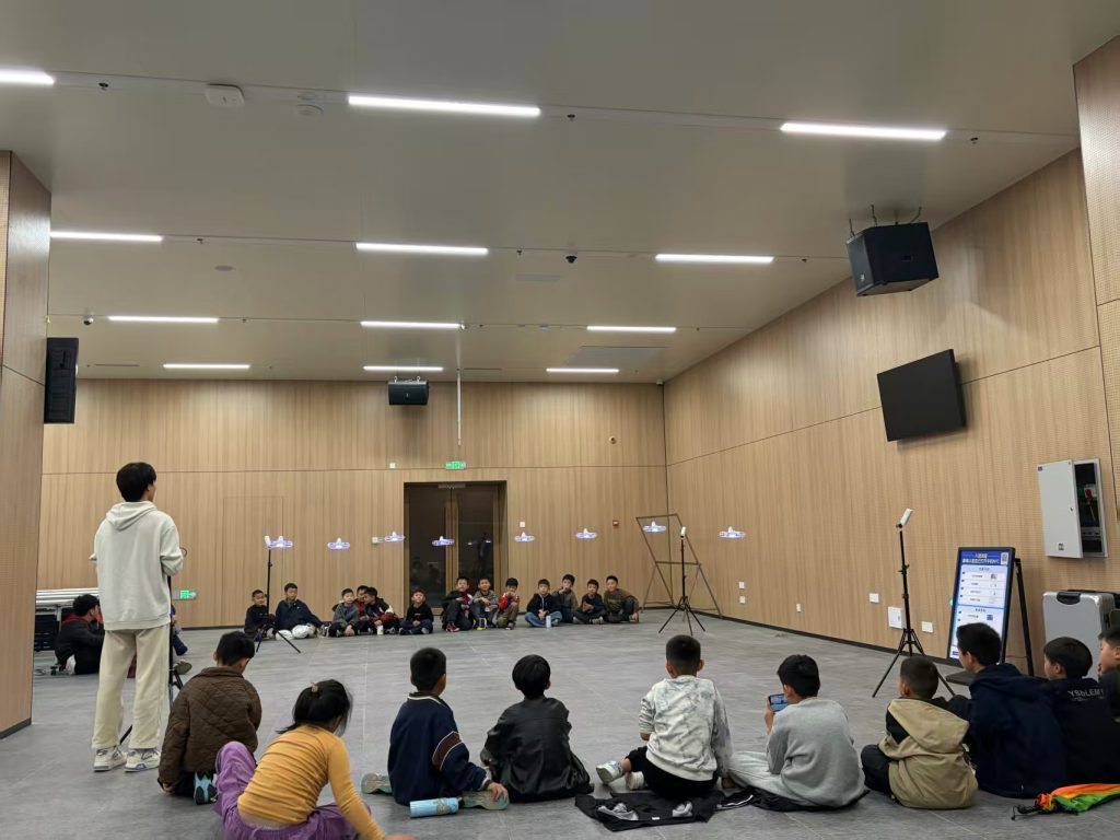
Integrating drone training into organizational workflows can yield significant returns. For example, trained personnel can reduce survey time by up to 70%, as shown in pilot programs. Moreover, drone training promotes standardized operations, minimizing human error. I advocate for partnerships with universities and tech firms to develop customized drone training programs. These collaborations can lead to研发国产化数据处理 tools tailored for water conservancy needs.
Another recommendation is to establish technical guidelines for drone-based earthwork measurement. Currently, no standardized规范 exist in the water conservancy sector. I suggest convening industry experts, engineers, and academics to draft a “Drone Measurement Guide for Earthwork Quantities.” This guide should outline data采集方案, point cloud processing algorithms, and volume calculation methods. It should also address quality control procedures, such as using ground control points (GCPs) for accuracy validation. The formula for incorporating GCPs into error adjustment is:
$$ \Delta z_{\text{corrected}} = \Delta z_{\text{measured}} + \sum_{j=1}^{m} w_j (z_{\text{GCP},j} – z_{\text{model},j}) $$
where w_j are weights based on distance to GCPs. This ensures data integrity. Furthermore, promoting规模化应用 through pilot projects can simulate various scenarios like excavation, filling, and dredging. Based on a自主研发的 “data采集—processing—application”智能计量服务平台, we can achieve full digital workflow management, from task调度 to成果输出.
In conclusion, the推广 of drone technology in water conservancy earthwork measurement requires concerted efforts. Agencies must prioritize resource allocation, address operational hurdles, and invest in drone training. By fostering innovation and setting standards, we can enhance construction management and drive the industry toward digital transformation. The future lies in intelligent devices, and drones are poised to play a pivotal role in elevating water conservancy projects to new heights of efficiency and accuracy.
To further elaborate on the mathematical underpinnings, consider the optimization of flight paths for drones to maximize data coverage. The path planning can be modeled as a covering problem. For a rectangular area of length L and width W, with drone sensor swath s, the optimal number of flight lines N is:
$$ N = \lceil \frac{W}{s} \rceil + 1 $$
and the total flight distance D is approximately:
$$ D = N \cdot L $$
This minimizes time and energy consumption. In terms of cost-benefit analysis, the return on investment (ROI) for drone adoption can be expressed as:
$$ \text{ROI} = \frac{\text{Cost Savings} – \text{Investment in Drones and Training}}{\text{Investment}} \times 100\% $$
Based on empirical data, ROI often exceeds 200% within the first year due to reduced labor and rework. Additionally, the environmental benefits are quantifiable. The carbon footprint reduction ΔC from using drones instead of traditional methods is:
$$ \Delta C = \alpha \cdot \text{Fuel Saved} – \beta \cdot \text{Electricity Used} $$
where α and β are emission factors. For the Chaohe project, ΔC was positive, aligning with sustainability goals.
Lastly, I stress that continuous improvement in drone training is vital. As technology evolves, so must the curricula. Advanced topics like artificial intelligence for automated defect detection should be included. For example, using convolutional neural networks (CNNs) to analyze drone imagery for terrain anomalies. The accuracy Acc of such models can be given by:
$$ \text{Acc} = \frac{\text{True Positives} + \text{True Negatives}}{\text{Total Samples}} $$
With proper drone training, operators can leverage these tools to further enhance measurement precision. In sum, drones represent a paradigm shift in water conservancy engineering, and through dedicated efforts in training and standardization, we can fully realize their potential.