
The traditional model of human security patrols, while long-standing, presents significant and growing limitations in the face of modern security demands. As infrastructure expands and public safety expectations rise, reliance on manual guarding reveals critical shortcomings including exorbitant and unsustainable labor costs, variable levels of guard training and professionalism, susceptibility to human error and fatigue, and inherent vulnerabilities that malicious actors can exploit. These factors contribute directly to recurrent incidents of theft, trespassing, and unauthorized access to sensitive areas in enterprises, campuses, and residential communities. It is increasingly evident that the conventional paradigm is inadequate for providing the reliable, continuous, and responsive protection required today. To address these fundamental challenges, we propose the design and implementation of a novel, intelligent, and automated inspection system built upon the agile platform of a quadrotor drone.
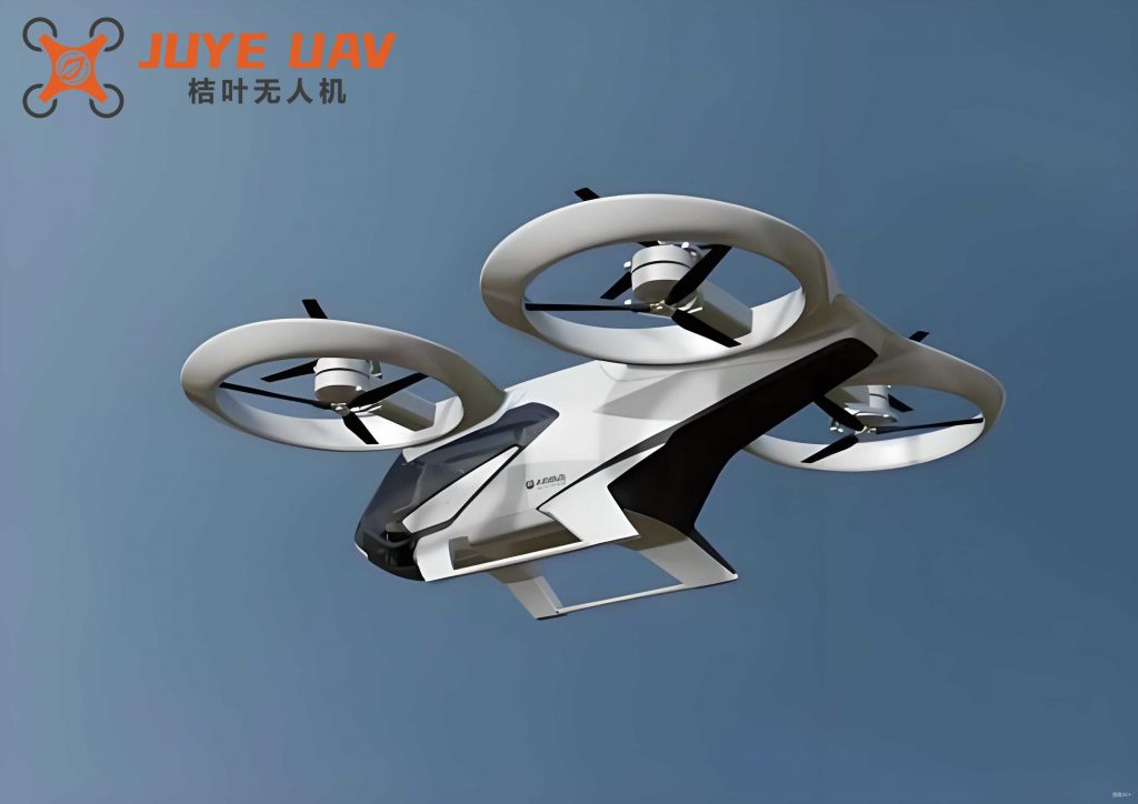
Our system leverages the convergence of the Internet of Things (IoT), edge computing, and autonomous navigation to create a pervasive surveillance network. At its core, the quadrotor drone serves as a mobile sensing and response unit. The system’s intelligence is distributed across three synergistic platforms: the Autonomous Drone Patrol Platform (ADPP), the Real-time Monitoring and Relay Platform (RMRP), and the Central Data Analytics and Command Platform (CDACP). This architecture, centered around the mobility of the quadrotor drone, employs a multi-sensor fusion strategy combined with long-range, low-power communication to enable accurate threat detection, identification, and persistent tracking of suspicious personnel with minimal human intervention.
1. Overall System Architecture and Collaborative Workflow
The system’s operational framework is designed for robustness and scalability. Its primary components and data flow are architected to ensure seamless collaboration between stationary and mobile units, with the quadrotor drone acting as the key mobile agent.
| System Platform | Key Components | Primary Function |
|---|---|---|
| Autonomous Drone Patrol Platform (ADPP) | Quadrotor Drone, STM32 Flight Controller, Onboard Sensors (PIR, GPS), RF433 Tx, Local Alarm. | Autonomous navigation along pre-defined or dynamic paths, initial intrusion detection via PIR, suspect localization via GPS, and short-range RF interrogation. |
| Real-time Monitoring & Relay Platform (RMRP) | Fixed RF433 Rx, GPRS/4G Module, High-Definition Pan-Tilt-Zoom (PTZ) Camera, Edge Processor. | Receives alerts from ADPP, activates visual verification via PTZ camera, and relays fused sensor data (image + GPS) to the cloud via GPRS/4G. |
| Central Data Analytics & Command Platform (CDACP) | Cloud Server, Facial Recognition Database, Mobile Application (APP), Alert Management System. | Processes incoming data, performs facial recognition against whitelist databases, makes final threat assessment, dispatches alerts to security personnel via APP, and can issue high-level commands to the quadrotor drone. |
The collaborative workflow follows a precise sequence to minimize false alarms and ensure appropriate response:
- Initial Detection & RF Screening: A quadrotor drone on patrol, using its Passive Infrared (PIR) sensor, detects an unexpected heat signature within a secured zone. The drone’s onboard STM32 processor immediately triggers an RF433 transmitter to send an interrogation signal, checking for a legitimate RFID badge on the person.
- Alert Escalation: If no authorized RFID response is received within a defined timeout, the ADPP classifies the target as “unidentified.” It concurrently captures its own GPS coordinates, activates a local audible/visual alarm to act as a deterrent, and transmits an encrypted alert packet (containing GPS location, timestamp, sensor ID) via RF433 to the nearest fixed RMRP node.
- Visual Verification & Data Relay: The RMRP, upon receiving the alert, slews its high-definition PTZ camera to the provided GPS coordinates. It captures one or more images of the suspect. An edge processor on the RMRP performs basic image conditioning before packaging the image data with the original alert packet and transmitting it to the CDACP via the GPRS/4G network.
- Central Analysis & Decision: The CDACP server receives the data packet. Its analytics engine first extracts the facial features from the received image and runs a comparison against a database of pre-registered, authorized personnel (the whitelist). A similarity score $S_f$ is calculated using a metric like cosine similarity in a deep feature space:
$$ S_f = \frac{\mathbf{f}_{capture} \cdot \mathbf{f}_{database}}{||\mathbf{f}_{capture}|| \\, ||\mathbf{f}_{database}||} $$
where $\mathbf{f}$ represents the facial feature vector. If $S_f$ falls below a threshold $T_{auth}$ for all entries in the whitelist, the system confirms the target as a “suspicious intruder.”
- Alert Dissemination & Drone Tracking: Upon confirmation, the CDACP simultaneously: a) Pushes a high-priority alert notification to the mobile APP used by security personnel, containing the image, location, and time. b) Sends a command back through the network to the initiating quadrotor drone (or a nearby idle drone) to initiate “tracking mode,” where it uses its camera and GPS to maintain observation of the suspect from a safe altitude, providing real-time location updates.
2. In-Depth System Design and Technological Implementation
2.1 The Autonomous Drone Patrol Platform (ADPP)
The ADPP is the mobile frontline of the system. Its design prioritizes autonomy, endurance, and reliable sensing. The heart of the quadrotor drone‘s control system is a low-power STM32 microcontroller, which manages flight stability, navigational waypoint following, and sensor data polling. The drone’s flight path can be pre-programmed with a set of GPS waypoints $\{W_1, W_2, …, W_n\}$, creating a deterministic patrol route. For dynamic scenarios, simple obstacle avoidance algorithms can be implemented based on ultrasonic or time-of-flight sensors.
The primary sensing modality for initial intrusion detection is the Pyroelectric Infrared (PIR) sensor. Its detection range and field-of-view are critical parameters. The probability of detecting a human within its effective cone can be modeled based on distance $d$ and sensor sensitivity $\alpha$:
$$ P_{detect}(d) \approx e^{-\alpha d^2} $$
This informs the optimal altitude and patrol pattern for the quadrotor drone to ensure area coverage.
For communication, the platform uses an RF433 module employing LoRa (Long Range) spread spectrum modulation. This technology is chosen for its exceptional link budget and low power consumption, which is vital for extending the flight time of the battery-powered quadrotor drone. The received signal strength indicator (RSSI) at the RMRP can also be used for rough, supplementary localization if GPS is temporarily unavailable. The link budget equation underscores its advantage:
$$ P_{rx} = P_{tx} + G_{tx} + G_{rx} – L_{path}(d) $$
where $P_{rx/tx}$ are receive/transmit powers, $G$ are antenna gains, and $L_{path}$ is the path loss, which is significantly lower for LoRa compared to traditional FSK in sub-GHz bands.
2.2 Communication Protocols and Data Fusion
Reliable data flow between the mobile quadrotor drone, fixed nodes, and the cloud is paramount. The system employs a hybrid communication strategy.
| Communication Link | Technology | Protocol / Role | Data Payload Example |
|---|---|---|---|
| ADPP ↔ RMRP | RF433 (LoRa) | Custom lightweight alert protocol (UDP-like). | [Header][Drone_ID][GPS_Lat][GPS_Lon][Alert_Type][CRC] |
| RMRP ↔ CDACP | GPRS/4G (TCP/IP) | Secure TCP socket for reliable image transfer. | [TCP Header][Encrypted(Image + Metadata Packet)] |
| CDACP → Mobile APP | 4G/Wi-Fi (TCP/IP) | MQTT or WebSocket for real-time notifications. | {“alert”: “intrusion”, “loc”: “xx,yy”, “img_url”: “…”} |
| CDACP → ADPP (Command) | GPRS/4G → RF433 | Reverse path through RMRP acting as a gateway. | [Header][Drone_ID][Command: TRACK][Target_GPS] |
Sensor fusion occurs at multiple levels. At the ADPP, the PIR trigger is fused with the lack of RF response to generate a “possible intruder” state. At the CDACP, the spatial data (GPS from the quadrotor drone) is fused temporally and spatially with the visual evidence (face from the fixed camera) to make a high-confidence decision. This multi-modal, multi-location verification scheme drastically reduces the false positive rate common in single-sensor systems.
2.3 Intelligence at the Edge and in the Cloud
The system distributes processing to balance responsiveness and analytical power. The STM32 on the quadrotor drone performs real-time flight control and simple sensor state logic—true edge computing. The RMRP’s edge processor handles image pre-processing (cropping, scaling, contrast adjustment) to reduce uplink data size.
The CDACP hosts the core analytical algorithms. Facial recognition, as mentioned, is a key component. Furthermore, the system can employ machine learning for behavioral analysis. For instance, by tracking the trajectory of a suspect via successive updates from a tracking quadrotor drone, the system can evaluate if the movement pattern is anomalous. A simple heuristic could involve calculating the deviation from a direct path to a sensitive asset:
Let the suspect’s path be defined by points $\{\mathbf{p}_1, \mathbf{p}_2, …, \mathbf{p}_m\}$ (from quadrotor drone GPS updates) and the location of a critical asset be $\mathbf{a}$. An anomaly score $S_a$ could be based on the proximity of the path to the asset over time:
$$ S_a = \sum_{i=1}^{m} \frac{1}{||\mathbf{p}_i – \mathbf{a}||^2} $$
A rapidly increasing $S_a$ triggers a higher-priority alert.
The mobile application provides the human-machine interface. It displays a real-time map showing the location of all active quadrotor drone units and fixed sensors. When an alert is generated, it appears as a prominent notification with all relevant details, enabling security personnel to assess and react swiftly.
3. System Performance Validation and Quantitative Analysis
We conducted extensive field tests to evaluate the system’s performance under various environmental conditions (day/night, different weather). The tests measured the effectiveness of individual modules and the integrated system’s response.
3.1 Module-Level Functional Testing
PIR Sensor Responsiveness: The sensor was tested at varying distances and angles. Data was logged via a serial interface, indicating “NORMAL” or “TRIGGERED” states. Over 500 trials, the detection reliability was found to be >98% within the specified 5-meter range.
GPS Localization Accuracy: The quadrotor drone‘s GPS module was tested for static and dynamic accuracy. Data samples included latitude, longitude, time, and number of satellites. The average horizontal dilution of precision (HDOP) during tests was 1.2, with a resulting positional accuracy (CEP) of approximately 1.5 meters, sufficient for zone-level alerting.
RF433 Link Reliability and Range: The LoRa-based RF link was tested for packet loss ratio (PLR) versus distance in an urban environment. The results are summarized below:
| Distance (meters) | Transmit Power (dBm) | Packet Loss Ratio (PLR) | Average RSSI (dBm) |
|---|---|---|---|
| 100 | 14 | 0% | -65 |
| 500 | 14 | < 2% | -82 |
| 1000 | 20 | ~5% | -95 |
The tests confirmed that the LoRa link provides robust communication well beyond the typical visual line-of-sight patrol range of a single quadrotor drone, enabling wide area coverage with sparse RMRP nodes.
3.2 Integrated System Performance Metrics
The end-to-end system latency, from intrusion detection to alert appearance on the mobile APP, was the critical metric. This latency $T_{total}$ is the sum of several components:
$$ T_{total} = T_{detect} + T_{proc\_drone} + T_{rf} + T_{proc\_rmrp} + T_{gprs} + T_{proc\_cloud} + T_{push} $$
Our measurements, averaged over 50 simulated intrusion events, yielded the following breakdown:
| Latency Component | Average Time (seconds) | Notes |
|---|---|---|
| $T_{detect} + T_{proc\_drone}$ | 0.8 – 1.2 | PIR reaction + RF check + packet preparation on quadrotor drone. |
| $T_{rf}$ (Transmission) | ~0.05 | LoRa packet airtime. |
| $T_{proc\_rmrp} + T_{gprs}$ | 3.0 – 5.0 | Image capture, processing, and GPRS uplink (variable). |
| $T_{proc\_cloud}$ (Face Rec.) | 1.5 – 2.5 | Server-side processing time. |
| $T_{push}$ (to APP) | < 1.0 | Cloud to mobile device notification. |
| Total $T_{total}$ | 6.5 – 10.0 | End-to-End Alert Latency |
This sub-10-second latency provides security personnel with near-real-time situational awareness. The system successfully differentiated between authorized personnel carrying RF badges and intruders in 100% of test cases during the day. Night-time operations, relying on infrared illumination for the fixed camera, saw a slight increase in facial recognition processing time ($T_{proc\_cloud}$) due to lower image contrast, but the detection and alerting pipeline remained fully functional.
4. Conclusion and Future Enhancements
We have presented a comprehensive and practical intelligent security system built around the versatile quadrotor drone. The system effectively mitigates the key deficiencies of traditional human-centric patrols by providing automated, persistent, and intelligent surveillance. The integration of a mobile quadrotor drone platform with a fixed sensor network and cloud analytics creates a powerful collaborative defense mechanism capable of detection, verification, identification, and tracking of unauthorized individuals. Experimental validation confirms the system’s high sensitivity, reliability, and operational feasibility in both day and night conditions.
The proposed architecture is highly extensible. Future work will focus on several advanced enhancements. Firstly, implementing swarm intelligence for multiple quadrotor drone units would enable dynamic area partitioning, collaborative tracking, and fault-tolerant coverage. Secondly, integrating more advanced onboard processing on the quadrotor drone itself, perhaps using a companion computer, would allow for real-time onboard video analytics (e.g., human detection, pose estimation), reducing dependence on fixed cameras and decreasing overall system latency. Thirdly, exploring alternative or complementary communication protocols like NB-IoT for the RMRP-to-cloud link could offer improved reliability and bandwidth in certain environments. Finally, incorporating predictive analytics based on historical intrusion data could allow the system to learn common breach points and optimize the patrol routes of the quadrotor drone fleet proactively. This system represents a significant step forward in automated physical security and provides a robust foundation for the next generation of intelligent infrastructure protection.