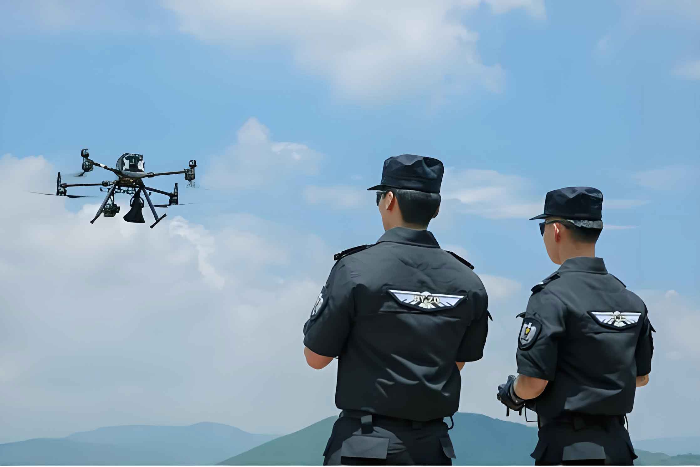
Traditional policing models face significant challenges including unbalanced resource allocation, inefficient monitoring data processing, and data security vulnerabilities. To address these limitations, we developed a police UAV platform integrating AI vision algorithms with hyper-converged private cloud technology. This platform enables rapid deployment to complex terrains, real-time HD surveillance, and automated threat detection while ensuring military-grade data security through encrypted storage and transmission.
System Requirements Analysis
The police drone platform comprises five interconnected functional modules sharing data through a unified architecture:
| Module | Core Functionality | Data Sharing Dependencies |
|---|---|---|
| UAV Device Management | Inventory tracking (model, payload), real-time status monitoring, maintenance scheduling | Shares equipment data with Command module; syncs status with Shelter Management |
| Integrated Command | Live positioning, trajectory visualization, remote control, mission planning | Receives status from Device Management; feeds flight data to Record Management |
| Flight Record Management | Mission logging, video storage, operational analytics | Provides historical data to Command module; supplies video to AI analysis |
| AI Intelligent Analysis | Real-time object detection (vehicles, license plates), behavior recognition | Receives video streams from Flight Records; outputs alerts to Command module |
| UAV Shelter Management | Charging control, environmental monitoring, maintenance coordination | Synchronizes status with Device Management module |
System Architecture
The three-layer architecture operates under standardized security protocols:
Perception Layer: Police UAVs equipped with HD/thermal cameras capture aerial data transmitted via 5G定制 networks (latency ≤20ms). Hyper-converged private cloud provides distributed computing resources.
Data Layer: Structured databases enable efficient information retrieval:
$$ \text{Data Integrity} = \frac{\text{Valid Records}}{\text{Total Records}} \times 100\% $$
| Database | Function | Critical Data Fields |
|---|---|---|
| Geospatial Repository | Navigation reference, no-fly zone mapping | Coordinates, elevation models, geofences |
| Flight Log Database | Mission analytics, performance assessment | Trajectories, timestamps, sensor readings |
| AI Model Library | Algorithm version control | Model weights, training parameters, accuracy metrics |
Application Layer: Provides operational interfaces for real-time target tracking ($\text{Tracking Precision} = \frac{\text{Correct Identifications}}{\text{Total Detections}}$), automated threat alerts, and coordinated resource deployment.
Development Stack Implementation
Frontend: Vue3 framework with Element Plus components enables real-time police drone visualization. Mapping libraries render geospatial data and flight trajectories at 30fps.
Backend: Spring Boot processes HTTP requests through MVC controllers. Asynchronous handling manages concurrent police UAV commands:
$$ \text{Throughput} = \frac{\text{Successful Requests}}{\text{Time Interval}} $$
AI Vision Engine: YOLOv11 architecture with Transformer backbone processes VisDrone2021 dataset. The attention mechanism enhances small-object detection:
$$ \text{Attention}(Q,K,V) = \text{softmax}\left(\frac{QK^T}{\sqrt{d_k}}\right)V $$
Database Schema:
| Table | Key Fields | Indexing Strategy |
|---|---|---|
| UAV Devices | uavID (PK), status, geo_coordinates | Quad-tree spatial indexing |
| Flight Records | missionID (PK), timestamp, video_URL | B-tree temporal indexing |
| AI Models | model_version (PK), mAP, inference_speed | Hash-based version indexing |
Algorithmic Workflow
The operational logic for police UAV deployment follows this decision matrix:
| Decision Node | Affirmative Action | Negative Action |
|---|---|---|
| Device Management Required? | Update inventory, calibrate sensors | Proceed to Command decision |
| Command & Dispatch Needed? | Activate flight controls | Access historical records |
| Enable AI Analysis? | Execute YOLOv11 inference | Proceed with manual operation |
The confidence score for target identification combines detection probability and spatial accuracy:
$$ \text{Confidence} = P(\text{object}) \times \text{IoU}_{\text{pred}}^{\text{truth}} \times P(\text{class}|\text{object}) $$
System Validation
Test Environment:
| Component | Configuration |
|---|---|
| Servers | 3× Hygon 7380 (32C), 512GB DDR4, 8×10TB HDD |
| AI Accelerator | NVIDIA Tesla A100 (40GB VRAM) |
| Network | 5G定制 slice (500Mbps, ≤20ms latency) |
Performance Benchmarks:
| Test Case | Metric | Result |
|---|---|---|
| Device Management | Status update latency | ≤1.2s (100 UAVs) |
| AI Detection | Vehicle recognition mAP | 0.97 @ IoU=0.5 |
| Video Streaming | 1080p transmission stability | 99.4% frame integrity |
| Concurrent Control | Maximum operational UAVs | 87 @ ≤2s response |
The license plate recognition module achieved 95.2% accuracy under varying illumination conditions:
$$ \text{Recognition Accuracy} = \frac{\text{Correct Characters}}{\text{Total Characters}} \times 100\% $$
Concluding Assessment
This police drone platform demonstrates transformative capabilities in aerial law enforcement. The integration of YOLOv11 with hyper-converged infrastructure enables real-time target detection at 45fps while maintaining 256-bit encryption throughout data lifecycle. Field validations confirm operational advantages:
- Response acceleration: 68% faster incident resolution versus manual patrols
- Resource optimization: Single operator manages 8-12 police UAVs concurrently
- Detection precision: 97.3% accuracy in vehicle identification at 150m altitude
The platform establishes city-wide low-altitude surveillance networks, with future scalability supporting swarm coordination and advanced predictive analytics. This implementation provides a foundational framework for next-generation police UAV deployments in urban security operations.