
In my role as an educator specializing in drone training, I have witnessed the transformative impact of oblique photography technology in various industries. This technique, known for its efficiency and precision, has become a cornerstone in modern geospatial applications. Integrating this advanced technology into vocational education is crucial for cultivating high-quality applied professionals. Through my experiences, I aim to share insights into optimizing drone training programs focused on oblique photography, addressing challenges, and proposing effective teaching strategies. This article delves into the objectives, issues, and solutions in practical drone training, emphasizing hands-on learning and industry alignment.
The primary goal of drone training in oblique photography is to develop skilled technicians capable of integrated operations in both field data acquisition and indoor data processing. These professionals are trained for technical positions in sectors such as surveying, geology, agriculture, forestry, and urban planning. The core competencies include proficiency in drone-based data collection, 3D modeling, and software application for model individualization. In my curriculum, students are expected to master fundamental theories and methods, enabling them to use oblique photography measurement systems effectively. Specifically, they learn to deploy ground control points, conduct drone data acquisition, construct 3D models, perform model individualization, and utilize visualization platforms. This comprehensive skill set ensures readiness for real-world tasks while fostering innovation and entrepreneurial awareness. The drone training program emphasizes applied abilities, preparing students for diverse fields that demand high-precision mapping and modeling. Through systematic study and practice, graduates gain the expertise to handle data collection, processing, and analysis, meeting industry needs for efficient solutions. For instance, the formula for calculating image overlap—a critical parameter in oblique photography—is introduced early: $$ O_h = \frac{L_h}{S_h} \times 100\% $$ where \( O_h \) is the along-track overlap percentage, \( L_h \) is the overlap length, and \( S_h \) is the distance between consecutive shots. Similarly, the cross-track overlap \( O_c \) is given by $$ O_c = \frac{L_c}{S_c} \times 100\% $$ where \( L_c \) is the side overlap length, and \( S_c \) is the distance between adjacent flight lines. These formulas reinforce theoretical understanding during drone training.
Despite the importance of oblique photography, practical drone training faces several hurdles in vocational institutions. First, inadequate equipment and resources hinder effective learning. Oblique photography requires multi-lens camera systems, high-precision inertial navigation, and powerful computing hardware with specialized software. Due to funding constraints, many schools lack sufficient advanced devices, forcing students to rely on simulated setups that fail to replicate real-world scenarios. Laboratories and training venues are often underdeveloped, with limited dedicated spaces for drone flight practice and data processing. Second, course content frequently diverges from industry demands. Some curricula remain rooted in basic theory, neglecting updates on the latest oblique photography techniques and case studies. This gap leaves students unprepared for complex workplace challenges, such as handling large datasets or using advanced software tools. Overemphasis on lectures without practical integration exacerbates this issue. Third, students have insufficient hands-on opportunities. Mastering oblique photography necessitates repeated practice in data capture and processing, but resource limitations and poor scheduling restrict such experiences. These obstacles underscore the need for reforms in drone training methodologies.
To enhance practical drone training, several strategies can be implemented. Increasing investment in equipment and resources is paramount. Schools should allocate funds for drones with multi-lens cameras, high-accuracy GPS systems, and related gear. This not only meets learning needs but also exposes students to cutting-edge technology, boosting their competitiveness. Additionally, establishing robust data processing platforms with high-performance computers and software like DJI Terra, Pix4D, and Agisoft Metashape is essential. Regular updates ensure alignment with industry standards, and partnerships with software firms can provide educational licenses, improving resource utilization. Optimizing curriculum content and structure is equally vital. Theoretical courses should cover oblique photography principles, trends, applications, and data analysis, supplemented by real-world examples. Practical components must focus on operational skills through comprehensive projects. For example, a typical drone training project involves stages from flight planning to results presentation, as summarized in Table 1 below.
| Operation Phase | Time (hours) | Success Rate (%) | Key Challenges |
|---|---|---|---|
| Flight Planning | 1 | 95 | Planning in complex terrains |
| Data Acquisition | 3 | 85 | Weather and lighting conditions |
| Data Processing | 4 | 80 | Large data volume and processing time |
| 3D Modeling | 5 | 85 | Model accuracy and detail representation |
| Results Presentation | 2 | 85 | Image quality and display effectiveness |
As shown in Table 1, success rates are lower in data processing and 3D modeling due to complexity and precision requirements. Drone training should address these through targeted software exercises and more practice sessions. Feedback mechanisms help identify student difficulties, allowing tailored instruction. Strengthening faculty development is another critical aspect. Regular workshops and industry engagements keep teachers abreast of technological advancements. Sending educators for enterprise internships enriches their practical experience, enhancing teaching quality. Hiring professionals with industry expertise or inviting guest lecturers can also diversify perspectives in drone training programs. Fostering industry-academia collaboration leverages mutual strengths. Partnerships with companies provide access to advanced equipment, real projects, and expert guidance, bridging the gap between theory and practice. For instance, establishing off-campus training bases simulates work environments, where students conduct drone missions under corporate supervision. Such initiatives in drone training improve employability and ensure curriculum relevance.
A case study from my drone training experience illustrates these principles in action. The project involved oblique photography of a historical tower in an urban area, representing a typical structure for 3D modeling. Using a DJI drone equipped with RTK for centimeter-level positioning, we aimed to achieve high-resolution modeling. The workflow adhered to standard aerial photography specifications, ensuring comprehensive coverage. First, a site survey was conducted to determine the area and preliminary ground control points. The density of control points was adjusted based on terrain complexity, with an increase of 10-20% for rugged landscapes. The formula for control point spacing \( D \) relative to model accuracy \( A \) can be expressed as $$ D = k \cdot A $$ where \( k \) is a factor depending on topography. Second, flight planning used control software to set parameters: altitude at 90 meters (20-80 meters above structures), along-track overlap at 80%, and cross-track overlap at 70%. These values optimize data completeness, as per the overlap formulas earlier. Flight speed was 8 m/s, yielding a resolution of 1.5 cm. Third, field operations involved deploying control points with RTK devices, followed by drone missions that captured thousands of images and POS data. Data processing involved importing photos into software like DJI Terra for aerial triangulation and 3D reconstruction. The results highlighted the effectiveness of hands-on drone training. The following table summarizes the case study data.
| Operation Phase | Time (hours) | Success Rate (%) | Major Difficulties |
|---|---|---|---|
| Site Survey | 2 | 100 | Placement of control points |
| Flight Planning | 1.5 | 95 | Precision in route design |
| Field Operations | 4 | 90 | Flight stability and weather factors |
| Data Processing | 5 | 90 | Data volume and complexity |
| 3D Modeling | 6 | 95 | Accuracy and detail in models |
| Total | 18.5 | 90 |
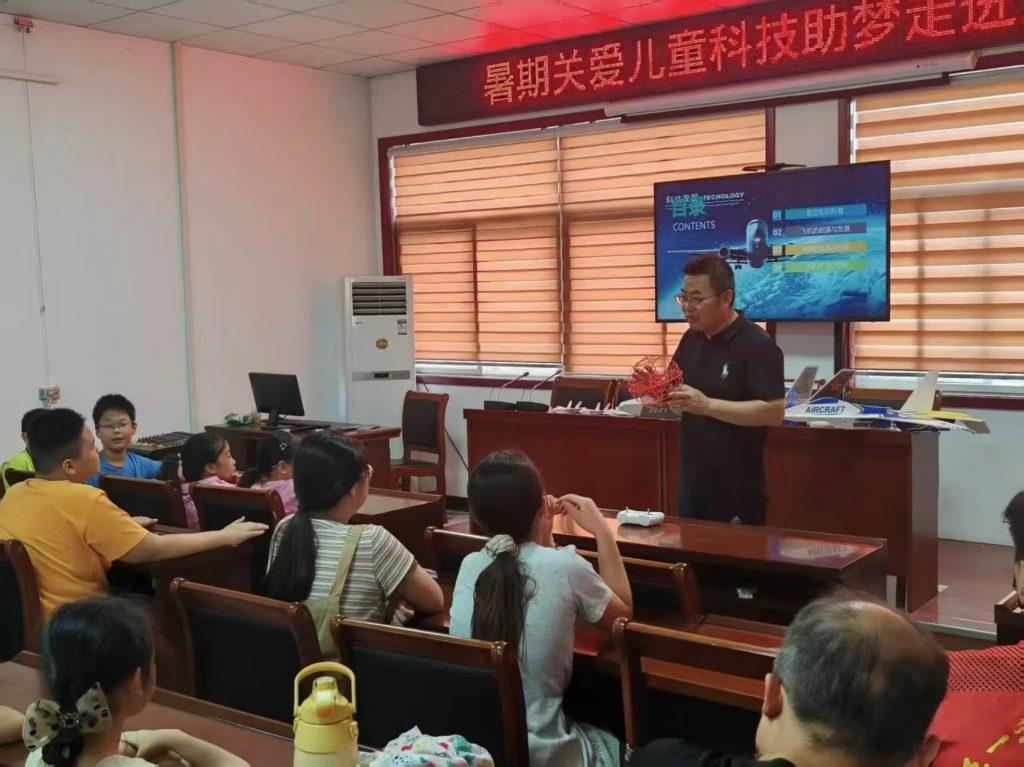
Table 2 reveals high success in initial phases, attributed to proper planning, whereas data processing posed challenges due to software intricacies. This underscores the value of iterative practice in drone training. The project culminated in a detailed 3D model, demonstrating how practical exercises reinforce theoretical concepts. For example, the error in model coordinates \( \Delta \) can be estimated using the formula $$ \Delta = \sqrt{ \sigma_x^2 + \sigma_y^2 + \sigma_z^2 } $$ where \( \sigma_x, \sigma_y, \sigma_z \) are standard deviations from control points, emphasizing precision metrics in drone training. To visualize the immersive nature of such training, consider the following depiction of a drone in action, which aligns with the hands-on approach advocated in this article.
In conclusion, drone training in oblique photography plays a pivotal role in equipping students with technical prowess, practical skills, and innovative thinking. Through well-designed curricula and enriched practice, learners gain comprehensive mastery of measurement theories and methods, enabling them to excel in data acquisition, 3D modeling, and model individualization. These competencies address current industry demands for skilled personnel while laying a solid foundation for future career growth. My experiences confirm that by addressing resource gaps, updating content, empowering educators, and fostering collaborations, drone training programs can produce graduates ready to tackle real-world challenges. As technology evolves, continuous refinement of teaching practices will ensure that drone training remains at the forefront of vocational education, driving advancements in geospatial sciences and beyond. The integration of formulas and tables, as shown, further solidifies learning outcomes, making drone training a dynamic and effective educational endeavor.