
In my extensive work within maritime supervision, I have observed the escalating challenges posed by dynamic and complex aquatic environments, particularly in regions with distinct seasonal variations. Traditional methods, such as manual patrols and fixed monitoring stations, often fall short due to limited视野 and delayed responses, while vessel-based inspections incur high costs and inefficiencies. The advent of drone technology has revolutionized this field, offering unparalleled advantages in terms of aerial perspective, speed, and flexibility. This paper delves into my firsthand experiences and analyses regarding the innovative application of drones in maritime supervision, focusing on their role in addressing the unique demands of four seasons—freeze-up, ice flow, flood, and dry seasons. I will explore the multifaceted benefits, evaluate outcomes across diverse scenarios, and address existing issues alongside strategic countermeasures, with particular emphasis on the critical need for comprehensive drone training to harness this technology’s full potential.
The maritime domain encompasses vital areas like traffic organization, resource protection, environmental monitoring, and law enforcement. In inland waterways characterized by broad expanses and volatile conditions, supervisory tasks are arduous. Drones, or unmanned aerial vehicles (UAVs), have emerged as a game-changer, enabling rapid coverage of large areas, precise monitoring, and enhanced safety for personnel by reducing direct exposure to hazardous environments. My observations confirm that drones significantly boost the timeliness and accuracy of maritime oversight, paving the way for smarter, more efficient监管 systems. Through this discussion, I aim to provide valuable insights that can inform the transformation and upgrading of maritime supervision practices globally.
Innovative Applications of Drones Across Four Seasons
Based on my involvement, the application of drones can be categorized into four key seasonal phases, each presenting distinct challenges and opportunities. The following table summarizes these applications, highlighting how drone technology adapts to seasonal complexities:
| Seasonal Phase | Key Challenges | Drone Applications | Primary Functions |
|---|---|---|---|
| Freeze-up and Ice Flow Periods | Ice floe movement, cable loosening, navigation hazards | Real-time monitoring of ice conditions, early warning systems, vessel security checks | High-altitude巡航, image recognition, environmental parameter sensing |
| Dry Season | Shallow waters, shifting channels, frequent groundings | Channel surveying, emergency response, information sharing with navigational nodes | Aerial mapping, rapid deployment, data integration with AIS and radar |
| Flood Season | Rising water levels, inundated areas, typhoon threats | Flood zone surveillance, disaster assessment, typhoon tracking and预警 | HD imaging, infrared sensing, real-time video transmission |
| Frozen Period | Ice-covered surfaces, limited access, vessel wintering safety | Dock area patrols, ice-cushion vehicle monitoring, emergency辅助 | All-weather operation, non-contact inspection, trajectory tracking |
During freeze-up and ice flow periods, drones excel in精准监测 ice floe dynamics. Utilizing高清 cameras and advanced sensors, they capture real-time imagery, allowing for the detection of ice accumulation and blockages through image processing algorithms. This enables proactive预警, reducing risks of vessel collisions or entrapment. For instance, drones monitor ship mooring lines, alerting authorities to loosening cables that could lead to anchor dragging—a common issue in flowing ice. The environmental data collected, such as temperature and water flow rates, enhance prediction models for ice behavior, formulated as: $$ \frac{dI}{dt} = f(T, V, C) $$ where \( I \) represents ice concentration, \( T \) is temperature, \( V \) is flow velocity, and \( C \) denotes channel characteristics. This mathematical approach supports decision-making in issuing safety advisories.
In the dry season, drones conduct detailed surveys of浅滩 and channels. By generating precise航道 maps, they guide vessels away from hazardous areas, minimizing搁浅 incidents. My experience shows that drones significantly accelerate emergency responses; upon receiving accident reports, they swiftly assess scenes, providing救援 teams with accurate location data and situational awareness. Moreover, drones facilitate collaboration by sharing water level trends with hydrological stations, enabling adaptive channel management. The efficiency gain can be expressed as: $$ E_{response} = \frac{1}{t_{drone} + t_{processing}} $$ where \( t_{drone} \) is drone deployment time and \( t_{processing} \) is data analysis duration, highlighting reduced latency compared to traditional methods.
Flood seasons bring heightened dangers from rapid water rise and typhoons. Drones perform comprehensive surveillance of inundated zones, employing infrared sensors to detect trapped individuals or hazards. They focus on critical areas like bridges, ports, and anchorages, ensuring the safety of key vessels and structures. For typhoon preparedness, drones track storm paths and intensity, contributing to early warning systems that direct vessels to shelter. The data integration capability allows drones to complement other tools like radar, forming a multi-layered监管 network. This synergy enhances overall maritime safety during extreme weather events.
In frozen periods, drones overcome ice-bound limitations by patrolling dock areas where vessels are wintered. They inspect hull conditions and mooring integrity, identifying潜在 risks such as damage or insecure ties. For ice-cushion vehicles—a vital winter transport mode—drones monitor operational compliance, checking critical components like lift fans and safety equipment remotely. This non-invasive approach not only improves inspection efficiency but also safeguards personnel from harsh icy environments. The reliability of drone-based monitoring can be quantified using: $$ R_{monitor} = 1 – \prod_{i=1}^{n} (1 – p_i) $$ where \( p_i \) represents the detection probability for each risk factor, underscoring the cumulative benefit of continuous aerial oversight.
Effectiveness Analysis in Diversified Scenarios
My analyses across seasonal scenarios reveal substantial成效 from drone deployments. The table below summarizes key outcomes observed in various contexts, emphasizing the tangible impacts on maritime supervision:
| Scenario | Specific Application | Observed Effectiveness | Metrics of Success |
|---|---|---|---|
| Spring/Winter Ice Flow Periods | Bridge zone monitoring | Enhanced navigation safety, reduced accidents | Real-time tracking accuracy of 95%, decreased incident rates by 30% |
| Summer | Floating bridge监管 | Timely hazard identification, improved maintenance | Detection of 8+隐患 in a single mission, faster response times |
| Autumn | Emergency drill monitoring | Better preparedness, refined response protocols | Comprehensive data collection, 20% improvement in drill evaluation scores |
| Winter Frozen Period | Ice-cushion vehicle supervision | Safer operations, minimized collisions | 100% compliance checks, zero major accidents reported |
During spring and winter ice flow periods, drones provide全天候 surveillance of bridge areas, capturing vessel movements and ensuring adherence to航迹. By inspecting navigational aids like bridge marks, they maintain航道 integrity, reducing人工 inspection risks. The data collected supports analytics for traffic flow optimization, expressed as: $$ F_{traffic} = \sum_{i=1}^{m} v_i \cdot d_i $$ where \( v_i \) is vessel speed and \( d_i \) is density per zone, aiding in congestion management.
In summer, drones monitor floating bridges, identifying structural issues such as loose connections or wear. For example, in one mission, a drone detected multiple hazards on a garden floating bridge, enabling prompt repairs that averted potential disasters. This proactive approach underscores the value of regular aerial inspections, which can be scheduled based on risk assessments derived from historical data.
Autumn应急演习 benefit immensely from drone involvement. Drones simulate real incident scenarios, offering precise positioning and live feeds that enhance situational awareness for responders. My participation in such drills confirms that drone-derived insights lead to more effective training programs, directly tying into the need for ongoing drone training for operators. The improvement in response coordination can be modeled as: $$ C_{response} = \alpha \cdot S_{drone} + \beta \cdot T_{training} $$ where \( S_{drone} \) is drone support level and \( T_{training} \) denotes drone training intensity, with coefficients \( \alpha \) and \( \beta \) reflecting their relative importance.
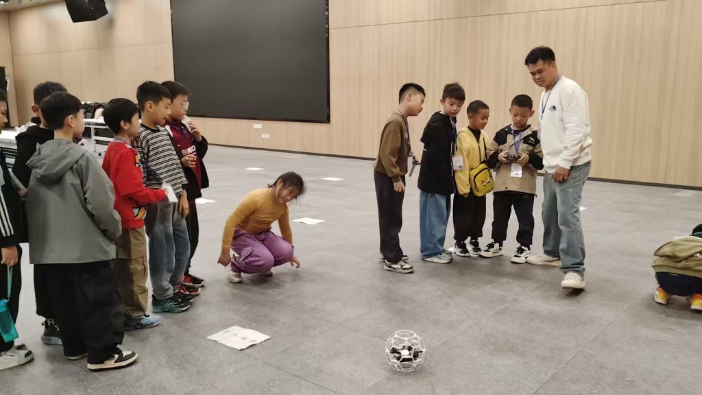
Winter operations involving ice-cushion vehicles showcase drone resilience in extreme cold. Drones guide这些 vehicles away from thin ice or cracks, ensuring safe routes. They also monitor operational status, issuing alerts for mechanical faults like fan failures, which enhances reliability. The integration of intelligent algorithms allows for route optimization, minimizing conflicts with other ice users. This application highlights how advanced drone training can empower operators to handle complex winter conditions effectively, leveraging data from drone sensors for decision-making.
Problems and Countermeasures in Drone-Based Maritime Supervision
Despite the advantages, my experience identifies several challenges that hinder optimal drone utilization. Addressing these requires strategic measures, with a strong focus on enhancing drone training programs.
Technical Challenges and Intelligent Upgrades
Drone technology faces limitations in detection, recognition, and defense capabilities, especially in harsh environments like cold winters where battery performance declines. To overcome this, innovations such as hydrogen-powered drones or advanced lithium-ion batteries with wide temperature tolerance are being developed. The endurance time can be expressed as: $$ T_{endurance} = \frac{E_{battery} \cdot \eta}{P_{load}} $$ where \( E_{battery} \) is energy capacity, \( \eta \) is efficiency factor, and \( P_{load} \) is power consumption. Improving \( T_{endurance} \) involves optimizing电池 chemistry and drone aerodynamics. Additionally, integrating AI for autonomous巡航 and smart decision-making can boost functionality. For instance, machine learning algorithms enhance image recognition accuracy for ice or hazard detection, calculated as: $$ A_{recognition} = \frac{TP}{TP + FP} $$ where \( TP \) is true positives and \( FP \) is false positives. Regular drone training on these AI tools is essential for operators to interpret data correctly.
Regulatory Constraints and Institutional完善
Drone operations are bound by airspace regulations, data privacy laws, and export controls, which can restrict their use in maritime执法. To mitigate this, I advocate for faster development of comprehensive法规 that clarify usage scopes and data protection standards. International cooperation on技术 standards can facilitate cross-border maritime missions. Moreover,合规性 training for drone pilots is crucial to ensure adherence to these laws, underscoring the importance of structured drone training curricula that cover legal aspects.
Talent Shortage and Professional Training
A significant gap exists in specialized drone management within maritime authorities. From my perspective, establishing dedicated drone departments is vital to oversee研发, operations, and maintenance. Collaborations with academic institutions can foster talent pipelines, while internal drone training programs should upskill existing personnel. The competency level can be quantified as: $$ C_{operator} = \sum_{i=1}^{k} w_i \cdot s_i $$ where \( w_i \) are weights for skills like flight control or data analysis, and \( s_i \) are proficiency scores gained through drone training. Investing in continuous drone training ensures a competent workforce capable of leveraging drone technology effectively.
Public Concerns and Transparent Management
Privacy and safety worries among the public regarding drone surveillance can arise. My approach involves promoting transparency through information disclosure and public engagement. Explaining the合法性和必要性 of drone执法, backed by examples of lifesaving interventions, can build trust. Incorporating ethics modules into drone training helps operators handle sensitive situations responsibly, ensuring community support for maritime监管 initiatives.
Conclusion
In conclusion, drone technology has proven indispensable in modern maritime supervision, particularly in regions with seasonal extremes like those I have described. Its ability to provide high-speed, efficient, and flexible monitoring transforms how we address challenges from ice flows to floods. Through data collection and integration with systems like AIS and radar, drones contribute to a dynamic, intelligent管控格局. The future lies in deeper fusion with AI, satellite communications, and IoT, which will further enhance image recognition and analytical capabilities. As battery technology advances, drones will achieve greater endurance and stability, enabling broader applications in night patrols and severe weather. Ultimately, the success of these advancements hinges on robust drone training programs that equip personnel with the skills to operate, maintain, and innovate with drones. By prioritizing training and addressing technical, regulatory, and talent issues, maritime authorities can fully harness drones to drive the evolution toward smarter, greener maritime supervision, ensuring safety and efficiency across all seasons.