
In the era of digital education, the integration of advanced technologies into pedagogical practices has become a cornerstone for enhancing learning outcomes. As a researcher and educator in the field of unmanned aerial systems, I have witnessed firsthand the transformative potential of virtual training platforms in addressing the perennial challenges associated with drone training. Traditional methods of drone training often grapple with high costs, safety risks, and logistical constraints, such as weather dependencies and equipment maintenance. These limitations hinder the scalability and effectiveness of hands-on learning, necessitating innovative solutions. Virtual simulation environments emerge as a pivotal tool, offering a safe, cost-effective, and immersive alternative for drone training. This article delves into the construction and application of a comprehensive virtual training platform tailored for drone applications, emphasizing its architectural framework, resource development, and pedagogical integration. By leveraging technologies like WebGIS, VR/AR, and cloud computing, this platform aims to revolutionize drone training, fostering practical skills and innovation among learners.
The urgency for such platforms stems from the rapid evolution of drone technology and its expanding applications across sectors like agriculture, surveillance, and environmental monitoring. Effective drone training must encompass not only piloting skills but also competencies in data acquisition, processing, and analysis. However, real-world training scenarios are often fraught with “three highs and three difficulties”—high cost, high risk, high complexity, and difficulties in scheduling, replication, and assessment. Virtual training platforms mitigate these issues by simulating diverse environments and tasks, thereby enhancing accessibility and engagement. In this discourse, I will outline the platform’s multi-layered architecture, detail its functional modules enriched with tables and formulas, and elucidate its application in educational settings. The overarching goal is to demonstrate how this platform can elevate drone training to new heights, aligning with the principles of digital education.
To contextualize the platform’s significance, consider the mathematical foundation of drone operations. For instance, drone dynamics can be modeled using equations of motion, which are integral to simulation environments. A simplified representation of drone flight dynamics is given by:
$$ \ddot{x} = \frac{T}{m} (\sin \phi \sin \psi + \cos \phi \cos \psi \sin \theta) – k_d \dot{x} $$
$$ \ddot{y} = \frac{T}{m} (-\sin \phi \cos \psi + \cos \phi \sin \theta \sin \psi) – k_d \dot{y} $$
$$ \ddot{z} = \frac{T}{m} \cos \phi \cos \theta – g – k_d \dot{z} $$
where \( x, y, z \) represent position coordinates, \( T \) is thrust, \( m \) is mass, \( \phi, \theta, \psi \) are roll, pitch, and yaw angles, \( g \) is gravitational acceleration, and \( k_d \) is a drag coefficient. Such formulas are embedded in the platform’s simulation engines to ensure realistic drone training experiences. By incorporating these physics-based models, learners can experiment with flight parameters in a risk-free setting, reinforcing theoretical concepts through practical interaction.
The platform’s overall framework is structured into four hierarchical layers, each contributing to a seamless virtual training ecosystem. This architecture ensures scalability, interoperability, and user-centric design, essential for effective drone training. The layers are summarized in Table 1 below.
| Layer | Components | Role in Drone Training |
|---|---|---|
| Infrastructure Layer | Cloud servers, virtualization resources, network systems | Provides computational power and storage for running simulations, enabling accessible drone training from any location. |
| Data Layer | Geospatial databases, sensor data, flight logs, UAV application technology database | Supplies real-world datasets for scenario modeling, enhancing the authenticity of drone training exercises. |
| Application Layer | Drone models (e.g., fixed-wing, multi-rotor), scene simulations (e.g., urban, mountainous), algorithm simulations (e.g., path planning) | Hosts core simulation functionalities, allowing learners to engage in diverse drone training tasks like navigation and data collection. |
| User Layer | Web interfaces, user management systems, data visualization tools | Facilitates interaction for students, instructors, and external users, personalizing the drone training experience. |
This layered approach underpins the platform’s robustness, ensuring that every aspect of drone training—from basic operations to advanced applications—is supported. The infrastructure layer leverages cloud-based resources to offer on-demand access, crucial for large-scale drone training initiatives. Meanwhile, the data layer integrates heterogeneous sources, such as satellite imagery and IoT sensor feeds, to create rich training environments. For example, in a drone training module on environmental monitoring, learners might analyze simulated pollution data using:
$$ C(x,y,t) = \int_{0}^{t} S(\tau) \cdot G(x,y,t-\tau) \, d\tau $$
where \( C \) is pollutant concentration, \( S \) is emission rate, and \( G \) is a dispersion kernel. Such equations help users understand the underlying science during drone training. The application layer is the heart of the platform, featuring modular simulations that replicate real-world challenges. Lastly, the user layer emphasizes usability, with intuitive dashboards that track progress in drone training curricula.
Building upon this framework, the platform’s resource development focuses on four key functional modules, each designed to address specific competencies in drone training. These modules are developed using WebGL-based tools, ensuring cross-platform compatibility without requiring additional software installations. The modules are summarized in Table 2, highlighting their objectives and key features.
| Module | Primary Objective | Key Features |
|---|---|---|
| Drone Equipment Cognition | Familiarize users with UAV components and specifications | Interactive 3D models of drones, sensors, and communication devices; performance parameter analysis. |
| Flight Path Planning Simulation | Teach route optimization and obstacle avoidance algorithms | Simulation of A*, Dijkstra, and genetic algorithms; real-time path rendering and evaluation metrics. |
| High-Resolution Earth Observation | Train in data acquisition and processing for remote sensing | Virtual sensors (e.g., multispectral cameras); image processing pipelines and data fusion techniques. |
| Photogrammetry Simulation | Develop skills in 3D modeling and map generation from imagery | Structure-from-Motion (SfM) algorithms; digital elevation model (DEM) generation and accuracy assessment. |
The Drone Equipment Cognition module lays the foundation for all subsequent drone training by elucidating hardware intricacies. Users can disassemble virtual drones to study components like propulsion systems and gimbals, with tooltips explaining functions. This hands-on exploration surpasses static textbooks, fostering deeper engagement. For instance, learners might calculate thrust-to-weight ratios using:
$$ \text{TWR} = \frac{T}{mg} $$
where TWR above 1 indicates vertical ascent capability—a critical concept in drone training. The Flight Path Planning Simulation module immerses users in algorithmic thinking, essential for autonomous drone operations. It incorporates cost functions for optimization, such as:
$$ J = \int_{0}^{T} \left( w_1 \| \mathbf{p}(t) – \mathbf{p}_{\text{goal}} \|^2 + w_2 \| \mathbf{u}(t) \|^2 \right) dt $$
where \( \mathbf{p} \) is position, \( \mathbf{u} \) is control input, and \( w_1, w_2 \) are weights. By adjusting these parameters, learners grasp trade-offs between efficiency and energy consumption during drone training.
The High-Resolution Earth Observation module bridges drone training with geospatial sciences. It simulates missions where drones capture imagery for applications like crop health monitoring. Users process data using vegetation indices, e.g., the Normalized Difference Vegetation Index (NDVI):
$$ \text{NDVI} = \frac{NIR – Red}{NIR + Red} $$
This formula is applied to virtual multispectral images, teaching analytical skills. Similarly, the Photogrammetry Simulation module leverages computer vision principles, such as collinearity equations for image orientation:
$$ x = -f \frac{a_{11}(X – X_0) + a_{12}(Y – Y_0) + a_{13}(Z – Z_0)}{a_{31}(X – X_0) + a_{32}(Y – Y_0) + a_{33}(Z – Z_0)} $$
$$ y = -f \frac{a_{21}(X – X_0) + a_{22}(Y – Y_0) + a_{23}(Z – Z_0)}{a_{31}(X – X_0) + a_{32}(Y – Y_0) + a_{33}(Z – Z_0)} $$
where \( (x,y) \) are image coordinates, \( f \) is focal length, \( a_{ij} \) are rotation matrix elements, and \( (X_0, Y_0, Z_0) \) is the perspective center. Through iterative simulations, users master these concepts, enhancing their drone training for surveying tasks. To visualize the immersive nature of these modules, consider the following integrated environment, which exemplifies the platform’s capability to replicate real-world scenarios for drone training.
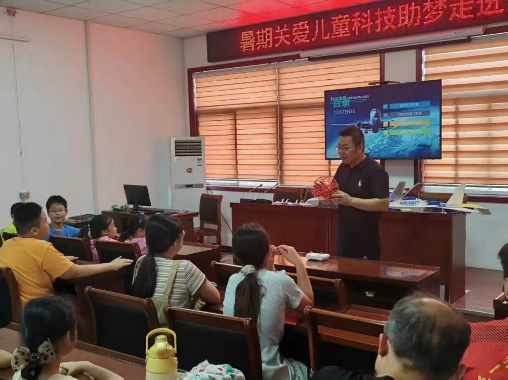
This image depicts a virtual training scenario where learners pilot drones in a simulated urban landscape, practicing maneuvers and data collection. Such visual fidelity is paramount for effective drone training, as it boosts situational awareness and decision-making skills. The platform’s rendering engines utilize level-of-detail algorithms to optimize performance, ensuring smooth interactions even on standard hardware. This accessibility democratizes drone training, allowing institutions with limited resources to offer high-quality education.
Pedagogically, the platform is integrated into a blended learning model that spans pre-class, in-class, and post-class phases, maximizing the impact of drone training. Each phase leverages the platform’s features to foster active learning. Table 3 outlines the application strategies across these phases, emphasizing how virtual simulations complement traditional instruction.
| Teaching Phase | Platform Application | Learning Outcomes for Drone Training |
|---|---|---|
| Pre-class | Self-paced exploration of modules via VR browsing mode; review of foundational concepts using interactive tutorials. | Students gain preliminary familiarity with drone components and mission objectives, reducing cognitive load during hands-on sessions. |
| In-class | Guided simulations using VR teaching, training, competition, and assessment modes; real-time feedback from instructors. | Enhanced engagement through gamified tasks; development of motor skills and tactical thinking in drone training exercises. |
| Post-class | Advanced VR expansion mode for project-based learning; analytics dashboards for performance review and personalized feedback. | Reinforcement of skills through complex scenarios; fostering innovation and critical reflection on drone training outcomes. |
In the pre-class phase, learners autonomously navigate the Drone Equipment Cognition module, perhaps calculating power requirements for a given payload using:
$$ P = \frac{T v}{\eta} $$
where \( P \) is power, \( v \) is velocity, and \( \eta \) is efficiency. This preparatory work primes them for in-class activities. During class, the platform supports diverse instructional strategies. For example, in a drone training session on search and rescue, students might collaborate in a VR competition to locate virtual survivors, applying path planning algorithms under time constraints. The platform scores performance based on metrics like mission completion time and energy efficiency, derived from:
$$ \text{Score} = \alpha \cdot \frac{1}{t_{\text{complete}}} + \beta \cdot \frac{1}{E_{\text{used}}} $$
where \( \alpha, \beta \) are weighting factors. Such quantitative assessments objectify learning progress, a hallmark of effective drone training. Instructors can monitor these metrics to identify struggling students and intervene promptly.
Post-class, the platform extends learning through capstone projects, such as designing a full drone-based mapping campaign. Learners might optimize flight parameters for photogrammetry using the following formula for ground sampling distance (GSD):
$$ \text{GSD} = \frac{f \cdot H}{s} $$
where \( f \) is focal length, \( H \) is flying height, and \( s \) is sensor pixel size. By iterating in the virtual environment, they balance resolution and coverage area, honing practical judgment. Moreover, the platform’s analytics tools aggregate data from multiple drone training sessions, enabling longitudinal studies on skill acquisition. For instance, learning curves can be modeled with:
$$ y(t) = y_{\infty} – (y_{\infty} – y_0) e^{-kt} $$
where \( y(t) \) is performance at time \( t \), \( y_{\infty} \) is asymptotic skill level, \( y_0 \) is initial ability, and \( k \) is learning rate. These insights inform curriculum refinements, ensuring that drone training remains adaptive and evidence-based.
The platform’s impact on drone training is further amplified by its interoperability with external systems. For example, it can import real-world geospatial data from public repositories, allowing learners to simulate missions in actual locations. This bridges the gap between virtual and physical drone training, enhancing transferability. Additionally, the platform supports collaborative features, such as multi-user VR sessions where teams coordinate drone swarms. Swarm dynamics can be modeled using Reynolds’ rules:
$$ \mathbf{v}_i(t+1) = \mathbf{v}_i(t) + \sum_{j \neq i} \left( w_{\text{align}} \cdot \text{alignment} + w_{\text{coh}} \cdot \text{cohesion} + w_{\text{sep}} \cdot \text{separation} \right) $$
where \( \mathbf{v}_i \) is velocity of drone \( i \), and \( w \) are weights. By experimenting with these parameters, users delve into advanced topics in drone training, such as autonomous fleet management.
In conclusion, the virtual training platform for drone applications represents a paradigm shift in digital education. By addressing the “three highs and three difficulties” through an integrated framework and modular resources, it elevates drone training to unprecedented levels of accessibility, safety, and effectiveness. The platform’s use of tables and formulas, as illustrated throughout this article, underscores its pedagogical rigor, enabling learners to grasp complex concepts through interactive simulation. From equipment cognition to photogrammetry, each module builds essential competencies, while the blended learning model ensures comprehensive skill development. As drone technology continues to evolve, such platforms will become indispensable for cultivating a skilled workforce, driving innovation across industries. Future work may explore AI-driven personalization in drone training, adapting scenarios to individual learning styles. Ultimately, this platform not only enhances education but also contributes to the broader adoption of drones, affirming the transformative power of virtual training in the digital age.