In the current era, low-altitude economy has been identified as a strategic emerging industry nationally, representing a new form of productive forces and gaining significant attention from both central and local governments. It is gradually becoming a crucial engine for economic growth. Drones, as a core component of the low-altitude economy, play an increasingly vital role in high-quality economic development. This article delves into the application of drones in county-level governmental aviation, the challenges faced, and potential solutions, all from our firsthand perspective as an industry alliance involved in pioneering these initiatives.
The development of low-altitude economy, characterized by drones and general aviation, has entered a new phase of opportunities. Since the Central Economic Work Conference in 2023 elevated low-altitude economy to the status of a strategic emerging industry, a series of policies and regulations have been introduced to encourage its growth, heralding a period of rapid expansion. Simultaneously, with the rapid advancement and widespread adoption of drone technology, drones have emerged as aerial platforms and management tools that offer unique perspectives. They enable the construction of integrated inspection systems combining aerial and ground capabilities, automating and intelligently collecting urban data. In key areas such as county economic development and urban-rural governance, drones are proving indispensable for applications including public security monitoring, traffic management, comprehensive urban management, ecological and environmental protection, emergency response, agricultural and forestry plant protection, and power line inspections.
However, the practical implementation of drone services in county governmental aviation still encounters several challenges. These include fragmented industry applications with varying levels of expertise and awareness, compatibility issues across different drone brands and models, inconsistent piloting skills, inefficient management, limited application effectiveness, information silos among different units, and difficulties in data analysis and sharing. These problems hinder the full potential of drones in enhancing county governance and economic growth.
To address these issues, we have conducted in-depth research and proposed the concept of an “Integrated Air-Ground and Five-Dimensional Fusion” county-level drone governmental service flight system. Pilot projects have been launched in several counties in Zhejiang Province to explore more scientific resource allocation and management models. Our goal is to improve the efficiency and effectiveness of drone usage, thereby leveraging drones to foster the development of the low-altitude economy at the county level.
Opportunities and Challenges in County-Level Drone Governmental Aviation
The low-altitude economy presents significant opportunities for drone applications in county governance. Drones offer cost-effective solutions for monitoring vast areas, responding to emergencies, and collecting data for various governmental functions. For instance, in public safety, drones can provide real-time surveillance during events or in high-risk areas, while in environmental protection, they can monitor pollution sources or track wildlife. The push towards digital transformation and smart city initiatives further accelerates the adoption of drone technology.
Nevertheless, challenges persist. The table below summarizes key challenges and corresponding opportunities:
| Challenge | Opportunity |
|---|---|
| Fragmented applications across departments | Centralized management for unified operations |
| Inconsistent drone technology and skills | Standardized drone training and certification programs |
| Compatibility issues among drone systems | Development of integrated command and control platforms |
| Data silos and sharing difficulties | Creation of shared databases and analytics tools |
| Limited operational efficiency | Automation through AI and networked systems |
To quantify efficiency gains, consider a formula for response time improvement: $$ \text{Response Time Improvement} = \frac{T_{\text{traditional}} – T_{\text{drone}}}{T_{\text{traditional}}} \times 100\% $$ where \( T_{\text{traditional}} \) is the response time using traditional methods, and \( T_{\text{drone}} \) is the response time using drones. In pilot projects, we have observed improvements exceeding 40% in scenarios like traffic incident management.
The “Integrated Air-Ground and Five-Dimensional Fusion” Concept
This system involves centralized construction and management across the entire county, leveraging existing drone resources, particularly from public security departments, and integrating personnel and equipment from other governmental bureaus. It establishes a unified mechanism for drone flight operations, focusing on five key dimensions: a command and dispatch training base, a flight team, a dedicated network, a comprehensive command platform, and a research and development team for tactical applications. This “five-in-one” approach ensures常态化 operations for调度, command, training, support, and services.
1. Establishing a Drone Command, Dispatch, and Practical Training Base
At the county level, a drone dispatch command and practical training base is established. This base serves multiple functions: First, it houses a flight mission command and dispatch center to coordinate tasks across units, enabling协同, assistance, scheduling, and command. Second, it provides drone training for pilots, including certification courses to ensure all operators are licensed. We emphasize that consistent drone training is essential for safety and proficiency. Third, it offers practical training in flight application tactics,普及 skills and optimizing methods for effective and safe operations. Fourth, it includes a maintenance workstation for repair, regular保养, software upgrades, and planned maintenance to ensure flight safety. The effectiveness of training can be modeled as: $$ \text{Training Effectiveness} = \alpha \cdot \text{Frequency} + \beta \cdot \text{Practical Sessions} $$ where \(\alpha\) and \(\beta\) are coefficients based on curriculum design.
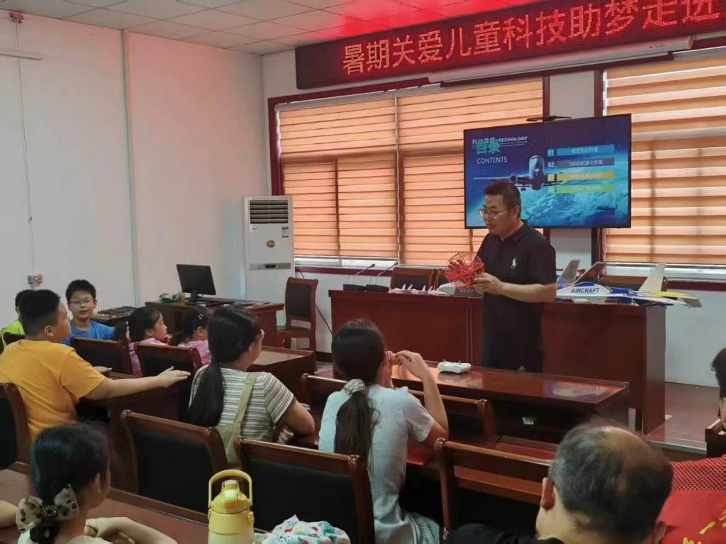
This image illustrates the importance of hands-on drone training in our system, highlighting how practical sessions enhance pilot skills and operational readiness.
2. Forming a Drone Flight and Low-Altitude Security Team
Relying on existing certified pilots from public security, a dedicated drone flight operations team is formed for实体化运作. This includes: a county governmental drone flight management office to coordinate services; a governmental service flight team to execute tasks; and a low-altitude security team to address unauthorized flights and ensure airspace safety. Regular drone training is conducted to keep the team updated on new technologies and tactics.
3. Building a Dedicated Drone Network
A county-wide dedicated drone network is constructed, requiring compliance with频谱 regulations,专网专用 to avoid interference,广覆盖,大容量, low latency, high reliability, and air-ground联动 for video and voice communication. The network capacity can be expressed as: $$ C = N \cdot B \cdot \log_2(1 + \text{SNR}) $$ where \(C\) is capacity, \(N\) is number of channels, \(B\) is bandwidth, and SNR is signal-to-noise ratio. This ensures stable operations for all drone services.
4. Developing a Comprehensive Drone Command and Control Platform
This platform integrates multiple functions: internal management of police drones (real-time video,位置, device/team management, AI recognition, 3D model viewing); flight mission management (工单管理, remote control, data storage); air-ground integration (linking drone video with ground surveillance); civilian drone registration; and civilian drone管控 through detection and countermeasure devices. The platform’s efficiency in handling missions can be summarized as: $$ \text{Platform Efficiency} = \frac{\text{Missions Completed}}{\text{Time}} \cdot \text{Data Accuracy} $$ and it relies heavily on prior drone training for operators to utilize its features effectively.
5. Cultivating a R&D Team for Drone Application Tactics
A team is formed to research and develop flight tactics based on governmental needs. This involves需求排摸 from various bureaus,科学化制定技战法方案 through collaboration with experts, and continuous optimization via实战飞行培训. The process can be represented as a cycle: $$ \text{需求分析} \rightarrow \text{方案制定} \rightarrow \text{培训执行} \rightarrow \text{优化反馈} $$ where drone training is a core component in both skill development and tactic refinement. We insist on rigorous drone training to ensure that all tactical applications are safe and effective.
The table below outlines the key components of the Five-Dimensional Fusion system:
| Dimension | Key Elements | Role of Drone Training |
|---|---|---|
| Training Base | Command center, certification courses, tactical practice, maintenance | Central hub for all drone training activities |
| Flight Team | Management office, service team, security team | Ensures team proficiency through ongoing drone training |
| Dedicated Network | Compliant, interference-free, high-capacity network | Supports real-time data for drone training simulations |
| Command Platform | Integrated management, mission control, air-ground linkage | Requires trained operators for effective use |
| R&D Team | Tactics development, optimization, standardization | Drives innovation in drone training curricula |
Case Study Analysis and Insights
Since August 2021, we have explored the feasibility of county-level drone governmental service systems and promoted practical projects. Pilot studies were conducted in several counties in Zhejiang, leading to the successful implementation of a model in one county, which we refer to as the “Jiaxing Model” for anonymity. This model has pioneered integrated drone services nationwide.
依托政务航空, this county established a drone-based 3-minute response圈, innovating with “三网融合” and building a 1.4G专网 “mobile base stations” to ensure flight safety and stable video transmission. This created a new approach to urban governance through无人巡查 and多维复用, forming an “air-ground” integrated治理体系. Preliminary results show significant improvements: police response efficiency increased by 50%, traffic incident response speed by 44.83%, vehicle throughput during peak hours by 35%, and disputes during key periods decreased by 33%.
The county addressed challenges by innovating management mechanisms: establishing a governmental aviation leadership group to coordinate system construction, forming a state-owned company for project运维, and unifying external services. Through a framework of “党政搭台,公安牵头,企业主建,社会共享,” it focused on common issues like分散的航空资源,单一的应用场景, and数据共享困难. The development of a multi-network integrated, vertically贯通 drone智管平台 enabled unified resource collection and专管共享, building a new ecosystem for跨应用 in治安管理,协同治理, and政务服务.
As of April 2024, this system has integrated 73 drones and 19 certified pilots, built 5全频段 base stations, and deployed 55 automatic nests. Services cover 16 categories and 108 application scenarios, such as平安巡查 for “night economy,” traffic accident handling, water rescue, and thermal imaging for rapid person定位. For example, in bustling nightlife areas, innovative modes like “governmental drone +潮城巡警” and “governmental drone +流动服务车” enable real-time dispatch from a command center, on-site support from mobile command vehicles, and超视距 drone patrols. In traffic management, during peak hours and accident-prone sections, “governmental drones” conduct严管巡航 to dynamically monitor flow anomalies, accidents, and infrastructure damage, facilitating timely measures.
The table below summarizes key outcomes from the pilot county:
| Application Area | Improvement Metric | Formula for Calculation |
|---|---|---|
| Public Safety Response | Efficiency increased by 50% | $$ \text{Efficiency} = \frac{\text{Incidents Resolved}}{\text{Time Spent}} $$ |
| Traffic Incident Response | Speed increased by 44.83% | $$ \text{Speed Gain} = 1 – \frac{T_{\text{new}}}{T_{\text{old}}} $$ |
| Peak Hour Traffic Flow | Throughput increased by 35% | $$ \text{Throughput} = \frac{\text{Vehicles Processed}}{\text{Hour}} $$ |
| Dispute Reduction | Incidents decreased by 33% | $$ \text{Reduction} = \frac{\text{Old Count} – \text{New Count}}{\text{Old Count}} $$ |
These successes underscore the importance of comprehensive drone training in enabling such integrated operations. Without proper drone training, pilots and operators would struggle to leverage the system’s full capabilities.
Conclusion
The innovative application of drone governmental service systems in county-level low-altitude economy and urban governance not only enhances the intelligence and digitization of drone-based economic development but also provides new思路 for solving traditional governance challenges. Looking ahead, with continuous advancements in drone industry applications and management innovations, drone usage is expected to evolve towards场景智能化,应用领域多元化,飞行作业自动化, and机型装备体系化. It holds great promise in elevating the modernization of county urban governance, contributing to safer, more efficient, and intelligent urban management systems. Moreover, it will aid local governments in exploring future application scenarios and high-quality development for the low-altitude economy.
Throughout this journey, we have learned that sustained investment in drone training is critical. From initial certification to advanced tactical drills, drone training forms the backbone of operational excellence. As we expand this model, we plan to develop more standardized drone training modules that can be replicated across regions, ensuring that every pilot and operator is equipped with the skills needed to thrive in this new era of低空经济. The integration of公式 and data analytics into drone training programs will further optimize performance, as shown by equations like $$ \text{Overall System Performance} = \sum_{i=1}^{n} w_i \cdot \text{Training Level}_i $$ where \(w_i\) represents weights for different training aspects. Ultimately, our vision is to create a scalable, efficient, and training-centric drone ecosystem that drives sustainable growth and innovation in county governance worldwide.