As an observer and participant in the field of aviation technology, I have witnessed the remarkable ascent of civilian unmanned aerial vehicles (UAVs). Their proliferation, driven by low cost, operational flexibility, and adaptability, has transformed numerous sectors. From precision agriculture and infrastructure inspection to delivery services and emergency response, the applications are vast and growing. This rapid integration into our airspace and daily lives, however, presents a formidable dual challenge: harnessing their immense potential while mitigating the inherent risks they introduce. The safety management of civilian UAVs has thus emerged as a critical domain of study and policy-making, demanding a holistic approach that encompasses regulation, technology, and operational doctrine.
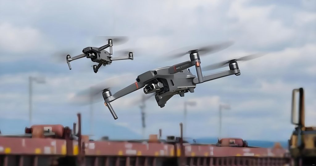
The image above vividly encapsulates the pervasive and varied roles of civilian UAVs in modern society. However, this very ubiquity underscores the urgency for robust safety frameworks. My analysis begins with the regulatory bedrock upon which safe operations are built, extends to the intrinsic safety of the vehicles themselves, and culminates in the complexities of managing their flight in increasingly crowded skies. A structured comparison of international regulatory approaches provides essential context for understanding the global effort to manage this technology.
| Regulatory Body | Key Policy/Standard | Primary Focus & Approach | Impact on Civilian UAV Safety |
|---|---|---|---|
| International Civil Aviation Organization (ICAO) | Annex 2, Doc 10019 Manual on RPAS, UAS Traffic Management (UTM) Framework | Establishing global standards for safe, secure, and efficient integration of drones into international airspace. Promotes a risk-based, performance-oriented approach. | Provides the essential international framework, harmonizing national regulations and promoting global interoperability for cross-border operations. |
| U.S. Federal Aviation Administration (FAA) | Part 107 Rule, UAS Safety Risk Management Policy | Operational rules for small civilian UAVs, focusing on pilot certification, visual line-of-sight, and airspace restrictions. Emphasizes incremental integration and public safety collaboration. | Created a scalable pathway for commercial small civilian UAV operations, setting a benchmark for operational rules and pilot accountability. |
| Civil Aviation Administration of China (CAAC) | Interim Regulations on Flight Management, Safety Requirement GB Standards | Comprehensive national framework covering classification, registration, pilot licensing, airspace management, and manufacturing standards. Focuses on unified supervision and industrial development. | Establishes a full-lifecycle governance model for civilian UAVs in the world’s largest market, emphasizing technical standards and centralized traffic management services. |
Building upon this regulatory foundation, the physical and systemic integrity of the civilian UAV forms the first layer of operational safety. Unlike manned aircraft, the design philosophy for many civilian UAVs often prioritizes cost and functionality over redundancy, making a detailed safety analysis paramount.
Intrinsic Safety: The Vehicle and Its Systems
The airworthiness of a civilian UAV is a function of its structural design, material science, and the reliability of its core systems. Failures in any of these domains can lead to a loss of control, posing a ground and air risk.
A. Airframe and Propulsion
The configuration of a civilian UAV—whether multi-rotor, fixed-wing, or hybrid VTOL—dictates its aerodynamic properties and failure modes. A critical safety parameter is the power-to-weight ratio, which influences maneuverability and the ability to handle emergencies like a motor-out scenario. For instance, the thrust $T$ required for a multi-rotor to hover is given by:
$$ T = \frac{W}{n \cdot \cos(\theta)} $$
where $W$ is the total weight, $n$ is the number of active rotors, and $\theta$ is the tilt angle. A failure of one motor in a standard quadcopter (n=4) is often catastrophic, whereas a hexacopter (n=6) or octocopter (n=8) can potentially maintain controlled flight with one or two failed motors, enhancing safety through redundancy.
Material fatigue and manufacturing defects are persistent threats. The lifecycle stress $\sigma_{life}$ on components like rotor arms or fuselage joints can be modeled against material yield strength $\sigma_y$:
$$ \text{Factor of Safety} = \frac{\sigma_y}{\sigma_{life}} $$
A low factor of safety, driven by cost-cutting or poor quality control, directly increases the probability of in-flight structural failure. Common points of failure include brittle composite materials, poorly soldered electrical connections, and battery mounting systems.
B. Core Avionics and Communication Systems
The “brain” and “nerves” of a civilian UAV are its flight controller, sensors, and data link. The reliability of these systems is often quantified by Mean Time Between Failures (MTBF). A simplified system reliability $R_{sys}$ for critical subsystems in series is:
$$ R_{sys} = R_{FC} \times R_{IMU} \times R_{GPS} \times R_{Comm} $$
where $R_{FC}$ is flight controller reliability, $R_{IMU}$ is inertial measurement unit reliability, etc. A failure in any one can lead to a loss of control.
The data link is particularly vulnerable. It must maintain a signal-to-noise ratio (SNR) above a threshold for stable control. The received signal power $P_r$ at a distance $d$ is governed by the Friis transmission equation:
$$ P_r = P_t G_t G_r \left( \frac{\lambda}{4 \pi d} \right)^2 $$
where $P_t$ is transmit power, $G_t$ and $G_r$ are antenna gains, and $\lambda$ is wavelength. Urban canyons or electromagnetic interference can cause $P_r$ to drop below operational levels, triggering a fail-safe procedure. The choice of frequency band involves a critical trade-off between data rate, range, and penetration power, as summarized below:
| Frequency Band | Typical Use | Advantage for Civilian UAV | Safety Limitation |
|---|---|---|---|
| 2.4 GHz / 5.8 GHz (ISM Bands) | Consumer drone control & video | High data rate, low-cost components | High congestion, susceptible to interference, limited range/penetration |
| 900 MHz | Long-range control links | Better obstacle penetration, longer range | Lower data bandwidth |
| Cellular (4G/5G) | BVLOS operations | Ubiquitous coverage, high reliability, network redundancy | Latency, dependency on public network availability and security |
| Satellite (L-band) | Global BVLOS operations | Global coverage, highly reliable | High cost, high latency, larger antenna/power requirements |
The Dynamics of Safe Flight: Navigation, Avoidance, and Integration
Assuming a reliable platform, the next safety frontier is the dynamic management of the civilian UAV’s flight path amidst a complex environment filled with static obstacles, other drones, and manned aircraft.
A. Perception and Obstacle Avoidance
Autonomous obstacle avoidance is a cornerstone of safe civilian UAV operations, especially for BVLOS (Beyond Visual Line of Sight) missions. The core challenge is to compute a collision-free path in real-time. This can be framed as an optimization problem minimizing a cost function $J$:
$$ J = \int_{t_0}^{t_f} \left( w_1 \cdot \text{CollisionRisk}(t) + w_2 \cdot \text{Energy}(t) + w_3 \cdot \text{Deviation}(t) \right) dt $$
where $w_1, w_2, w_3$ are weighting factors balancing safety, efficiency, and path fidelity.
Algorithms can be broadly categorized. Global planners (e.g., A*, Dijkstra) require a pre-known map and find an optimal path $P_{global}$ from start $S$ to goal $G$:
$$ P_{global} = \arg\min_{p \in \text{Paths}} \text{Cost}(p) $$
These are ideal for pre-flight planning around known structures. In contrast, local reactive planners (e.g., Artificial Potential Field, Velocity Obstacle) generate evasion maneuvers based on real-time sensor data. The repulsive force $F_{rep}$ in a potential field from an obstacle at position $P_o$ is:
$$ F_{rep} = \begin{cases}
\eta \left( \frac{1}{d(P, P_o)} – \frac{1}{d_0} \right) \frac{1}{d(P, P_o)^2} \nabla d(P, P_o), & \text{if } d(P, P_o) \leq d_0 \\
0, & \text{if } d(P, P_o) > d_0
\end{cases} $$
where $\eta$ is a scaling factor, $d(P, P_o)$ is the distance from the civilian UAV to the obstacle, and $d_0$ is the distance threshold for influence. Modern systems fuse both approaches, using global waypoints with local reactive corrections.
B. Deconfliction in Shared Airspace
As civilian UAV traffic density increases, strategic separation management becomes vital. The fundamental concept is maintaining a “well-clear” volume or protected zone around each aircraft. The collision risk $R_{collision}$ between a civilian UAV and another object can be modeled probabilistically, considering position uncertainties $\sigma_x, \sigma_y, \sigma_z$ and velocities:
$$ R_{collision} \approx \iiint_{V_{crit}} f(\Delta x, \Delta y, \Delta z) \, dV $$
where $f$ is the joint probability density function of relative position errors, and $V_{crit}$ is the combined volume of the two aircraft.
In mixed operations with manned aircraft, the concept of Detect and Avoid (DAA) is paramount. The required time horizon for conflict detection depends on closure rate $v_{closure}$ and minimum separation $S_{min}$:
$$ T_{detect} \geq \frac{S_{min}}{v_{closure}} + T_{response} $$
This dictates the performance requirements for civilian UAV sense-and-avoid systems, whether based on cooperative technologies like ADS-B or non-cooperative sensors like radar and vision.
The operational framework for separation is often visualized as a set of concentric “shells” around a civilian UAV, each with a specific procedural response:
| Zone/Boundary | Definition & Purpose | Typical Radius/Volume | Required Action |
|---|---|---|---|
| Collision Volume | The physical space occupied by the civilian UAV. A breach signifies a collision. | Defined by aircraft dimensions (e.g., 2m radius sphere). | Collision is imminent or has occurred. |
| Avoidance Boundary | The threshold where automatic avoidance maneuvers must be initiated to prevent entry into the Collision Volume. | Function of speed and maneuverability (e.g., 5-10 second horizon). | Autonomous or pilot-initiated emergency maneuver. |
| Strategic Coordination Zone | Airspace where intent must be shared and conflicts are resolved procedurally (e.g., via UTM). | Several kilometers, depending on airspace class. | Flight plan negotiation, priority rules, altitude assignment. |
Synthesis and Forward Trajectory: An Integrated Safety Ecosystem
Reflecting on the current landscape, I perceive that the safety of civilian UAV operations cannot be assured by any single measure. It is the product of a tightly coupled ecosystem. Regulations set the minimum standards and rules of the road. Technological advancements in platform reliability, robust communication, and intelligent autonomy provide the tools to comply with and exceed those standards. Finally, scalable traffic management systems, such as UTM and U-space, provide the orchestration layer for deconfliction and efficient airspace use.
The future trajectory points towards greater automation, higher levels of airspace integration, and more complex missions. This evolution will be underpinned by several key developments. First, the widespread adoption of Remote ID will provide the foundational layer of situational awareness for all airspace users and authorities. Second, artificial intelligence and machine learning will move from simple obstacle detection to predictive risk assessment and collaborative decision-making between multiple autonomous civilian UAVs. Third, the regulatory framework will continue to evolve from prescriptive, weight-based rules towards performance-based and risk-based regulations, enabled by the verification of specific safety capabilities like SAE International’s Specific Operations Risk Assessment (SORA).
In conclusion, the journey of integrating civilian UAVs into our national airspace is a continuous process of risk identification, technological mitigation, and regulatory adaptation. The safety management of civilian UAVs has matured from addressing isolated incidents to engineering complex, resilient systems. As a community of operators, manufacturers, regulators, and researchers, our collective focus must remain on fostering this integrated safety ecosystem. Only through sustained collaboration and innovation can we fully unlock the societal and economic benefits of civilian UAVs while ensuring the safety and security of our shared skies. The progress made in standardizing operations, hardening technology, and developing traffic management principles provides a solid foundation, but the work is far from complete. The next decade will undoubtedly test and refine these systems as the number and capabilities of civilian UAVs continue to grow exponentially.