In recent years, the application of unmanned aerial vehicles (UAVs) has expanded significantly from military domains to civilian sectors, driving rapid growth in industries such as agriculture, infrastructure inspection, emergency response, and environmental monitoring. The flight performance of a civilian UAV is central to its operational effectiveness and safety, making quantitative evaluation through trajectory parameter measurement a critical endeavor. As a researcher involved in testing and validation, I have explored various methodologies to accurately assess key trajectory parameters, including path control accuracy, altitude stability, and maximum level flight speed. This article delves into the principles, design, and experimental outcomes of trajectory measurement systems for civilian UAVs, emphasizing practical insights and challenges encountered in the field.
The core of evaluating a civilian UAV’s flight performance lies in measuring its trajectory parameters with high precision and continuity. Traditional methods, such as photoelectric tracking, involve ground-based instruments like theodolites that track the UAV dynamically. By measuring azimuth, elevation, and slant range, the position can be computed. For instance, in a single-station coordinate system, the coordinates \((X, Y, Z)\) are derived as follows:
$$ X = R \cos E \cos A, $$
$$ Y = R \sin E, $$
$$ Z = R \sin E \cos A, $$
where \(R\) is the slant range, \(E\) is the elevation angle, and \(A\) is the azimuth angle. For more accurate results in a common coordinate system, dual-station intersection measurement is employed, using equations from both stations to solve for the UAV’s position. However, this approach is often hindered by environmental factors, complex setup, and tracking losses, especially for small civilian UAVs at longer distances, limiting its applicability.
To address these limitations, modern techniques leverage Global Navigation Satellite System (GNSS) technologies, particularly Real-Time Kinematic (RTK) and Post-Processed Kinematic (PPK) methods. These rely on carrier-phase differential positioning to achieve centimeter-level accuracy. The fundamental pseudorange equation is:
$$ \rho = \sqrt{(x – x_t)^2 + (y – y_t)^2 + (z – z_t)^2} + c\Delta t, $$
where \(\rho\) is the pseudorange, \((x_t, y_t, z_t)\) are satellite coordinates, \(c\) is the speed of light, and \(\Delta t\) is the clock bias. By replacing pseudorange with carrier-phase observations, accuracy improves significantly. The carrier-phase observation equation is:
$$ \Phi^{(s)}_u = \lambda^{-1} [ r^{(s)}_u + I^{(s)}_u + T^{(s)}_u ] + f[\delta t_u – \delta t^{(s)}] + N^{(s)}_u + \epsilon^{(s)}_{\phi u}, $$
where \(\Phi^{(s)}_u\) is the carrier-phase measurement, \(\lambda\) is the wavelength, \(r^{(s)}_u\) is the geometric distance, \(I^{(s)}_u\) and \(T^{(s)}_u\) are ionospheric and tropospheric delays, \(\delta t_u\) and \(\delta t^{(s)}\) are receiver and satellite clock errors, \(N^{(s)}_u\) is the integer ambiguity, and \(\epsilon^{(s)}_{\phi u}\) is noise. Differential techniques, such as single-difference and double-difference, eliminate common errors. For example, the double-difference equation reduces to:
$$ \Phi^{(ij)}_{br} = -\lambda^{-1}(\mathbf{l}^{(j)}_b – \mathbf{l}^{(i)}_b)[\mathbf{x}_r – \mathbf{x}_b] + (N^{(j)}_{br} – N^{(i)}_{br}) + (\epsilon^{(j)}_{\phi br} – \epsilon^{(i)}_{\phi br}), $$
enabling high-precision relative positioning. This forms the basis for RTK/PPK systems, which are ideal for civilian UAV trajectory measurement due to their accuracy and ease of implementation.
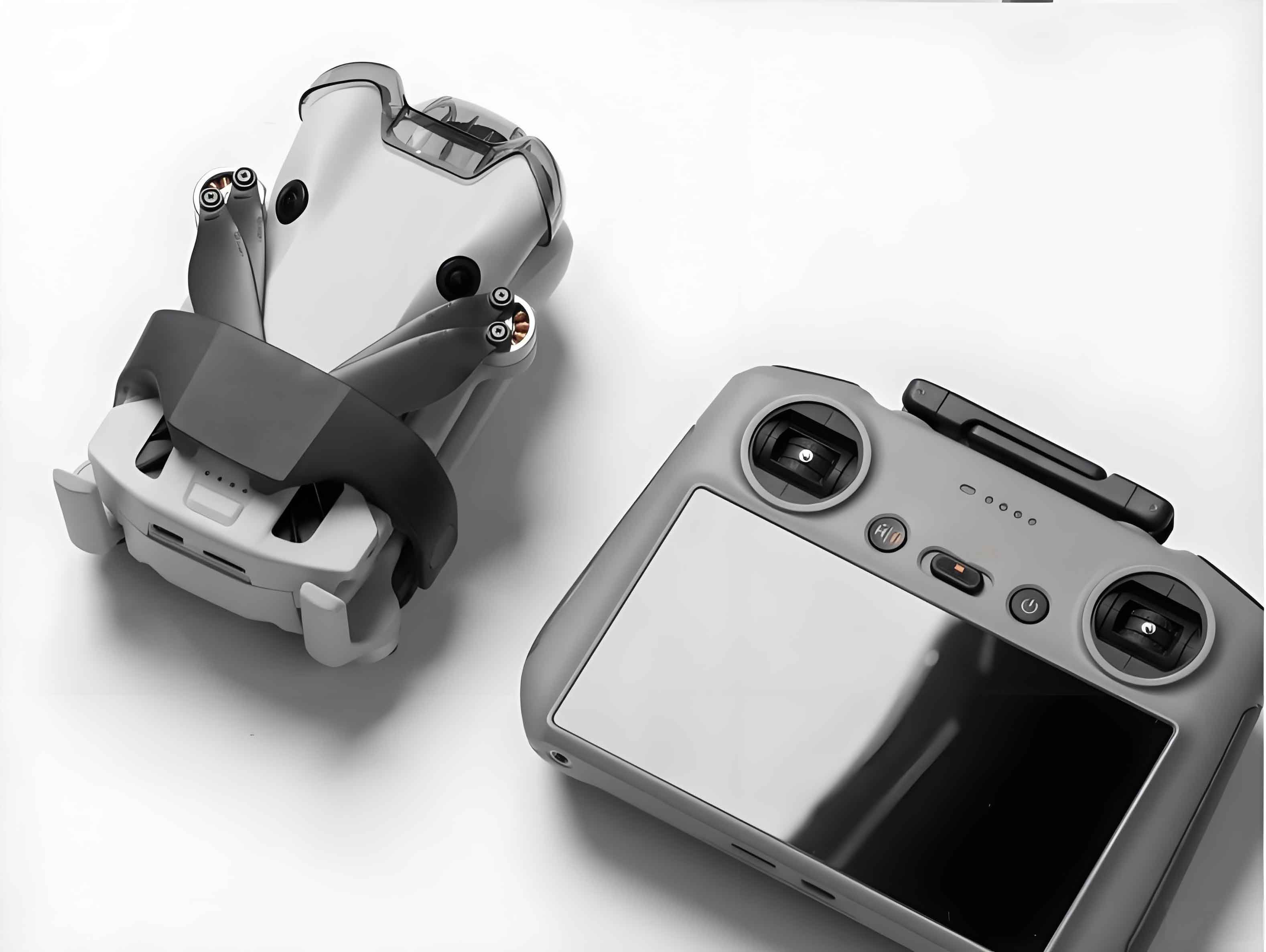
However, in challenging environments with signal obstruction or interference, RTK alone may suffer from data gaps. To enhance reliability, deep coupling with Inertial Measurement Units (IMUs) is adopted. This integrated GNSS/INS system uses GNSS signals to correct INS drift, while IMU data aids GNSS signal acquisition and tracking. The synergy ensures continuous, high-precision trajectory data, even under adverse conditions. For civilian UAV applications, the measurement device must be lightweight and compact to minimize impact on flight dynamics. In my experiments, I utilized a micro-sized trajectory acquisition device weighing 72 grams, incorporating a GNSS-RTK module and IMU in deep coupling mode, with data sampled at 10 Hz. This setup is crucial for accurate assessment of civilian UAV performance without compromising flight safety.
The measurement environment plays a vital role in ensuring valid results. Tests were conducted in open areas with minimal obstacles and electromagnetic interference, such as the Nagqu region in Tibet and the Hutuo River area in Hebei, China. These locations provided clear radio line-of-sight and met short-baseline conditions for RTK calibration. A pre-calibrated RTK base station with WGS84 coordinate accuracy better than 0.01 m served as a reference. Environmental factors like temperature (15–21°C) and wind speed (3.8–5.1 m/s) were monitored to comply with safe flight conditions for civilian UAVs. The trajectory measurement system was installed securely on the UAV, ensuring no adverse effects on center of gravity or aerodynamics.
To evaluate flight trajectory parameters, specific statistical methods were applied. For path control accuracy, the root mean square (RMS) deviation \(\sigma_R\) was calculated. In linear routes, the deviation \(\Delta R_i\) from the preset path is given by:
$$ \Delta R_i = \frac{a N_i + b E_i + c}{\sqrt{a^2 + b^2}}, $$
where \(a\), \(b\), and \(c\) are line parameters derived from start and end points, and \(N_i\) and \(E_i\) are north and east coordinates in a local frame. For circular paths, the deviation is:
$$ \Delta R_i = \sqrt{(N_i – N_0)^2 + (E_i – E_0)^2} – R_0, $$
with \((N_0, E_0)\) as the circle center and \(R_0\) as the radius. The overall path accuracy is then:
$$ \sigma_R = \sqrt{\frac{1}{n} \sum_{i=1}^{n} \Delta R_i^2}. $$
Altitude stability, represented by \(\sigma_U\), measures deviations from a set height \(U_{\text{set}}\):
$$ \Delta U_i = U_i – U_{\text{set}}, $$
$$ \sigma_U = \sqrt{\frac{1}{n} \sum_{i=1}^{n} \Delta U_i^2}. $$
Maximum level flight speed \(v_{\text{max}}\) is derived from ground speed data, averaging peak values across flight segments to mitigate wind effects. These metrics provide a comprehensive view of a civilian UAV’s trajectory performance.
In practical experiments, I tested four civilian UAV prototypes: a hexacopter for industrial use, a quadcopter for consumer applications, and two vertical take-off and landing (VTOL) fixed-wing models. Each was subjected to predefined flight missions—programmed for the hexacopter and VTOL models, and manually flown for the quadcopter—to assess the three key parameters. The hexacopter followed a combined circular and polygonal route, the VTOL models executed long straight-line往返 or large-radius circular paths, and the quadcopter included hover and manual maneuvers. Trajectory data were collected via the onboard measurement device, post-processed using Novatel Inertial Explorer software, and analyzed with custom evaluation tools.
The results revealed distinct characteristics across civilian UAV types. For path control accuracy, the hexacopter showed periodic deviations in circular segments, with an RMS of 1.80 m, influenced by wind and navigational algorithms. The quadcopter, equipped with advanced sensors, demonstrated superior hover accuracy with \(\sigma_R = 0.07\) m. The VTOL fixed-wing models exhibited larger deviations due to higher speeds and aerodynamic effects, with \(\sigma_R\) values of 0.81 m and 3.31 m, respectively. Altitude stability varied similarly: the hexacopter maintained \(\sigma_U = 0.29\) m, the quadcopter achieved 0.04 m, while the VTOL models had higher fluctuations up to 6.76 m. Maximum level speeds ranged from 10.92 m/s for the hexacopter to 27.13 m/s for the faster VTOL model, highlighting performance differences among civilian UAV categories.
| Civilian UAV Model | Path Control Accuracy \(\sigma_R\) (m) | Altitude Stability \(\sigma_U\) (m) | Maximum Level Speed \(v_{\text{max}}\) (m/s) |
|---|---|---|---|
| Hexacopter (Industrial) | 1.80 | 0.29 | 10.92 |
| Quadcopter (Consumer) | 0.07 | 0.04 | 15.57 |
| VTOL Fixed-wing 1 | 0.81 | 3.52 | 27.13 |
| VTOL Fixed-wing 2 | 3.31 | 6.76 | 24.06 |
These findings underscore the effectiveness of the GNSS/INS deep coupling approach for trajectory measurement in civilian UAVs. The data consistency with preset parameters and product specifications confirms the method’s reliability for performance validation. However, several challenges emerged during testing. Route planning inaccuracies arose from discrepancies between map displays and true geographic coordinates, necessitating pre-flight calibration to avoid safety risks. Installation of measurement devices posed issues for lightweight civilian UAVs with limited payload capacity; even minor added mass or drag can introduce measurement uncertainties. Moreover, the reference truth value for trajectory data relies on instrument precision, which must exceed the UAV’s expected accuracy by a factor of three or more. While RTK offers centimeter-level accuracy, factors like baseline length and environmental conditions can affect results, making truth value selection an ongoing research area for civilian UAV assessments.
To illustrate the statistical distributions, deviation plots for circular and linear paths were generated. For example, the hexacopter’s circular path deviations displayed a锯齿 pattern due to polygonal approximation, whereas VTOL models showed smoother oscillations. Altitude time histories indicated stable hover for multi-rotor civilian UAVs but greater variability for fixed-wing types during high-speed maneuvers. Speed profiles reflected acceleration patterns, with fixed-wing models maintaining minimum safe speeds during turns. These visualizations, combined with quantitative metrics, provide a holistic evaluation framework.
In conclusion, trajectory measurement for civilian UAVs is essential for ensuring operational safety and mission efficacy. Through experiments with diverse prototypes, I have demonstrated that GNSS/INS deep coupling technology offers a robust solution for capturing high-precision trajectory data. The methods outlined here—from RTK differential positioning to statistical analysis of path accuracy and speed—enable comprehensive performance evaluation. Future work should focus on refining measurement protocols, addressing installation impacts, and enhancing truth value methodologies to further advance civilian UAV testing standards. As the civilian UAV industry continues to evolve, precise trajectory assessment will remain a cornerstone of innovation and reliability.
The integration of advanced sensors and algorithms in civilian UAVs promises even greater accuracy in future systems. For instance, machine learning techniques could be applied to predict and compensate for trajectory deviations in real-time. Additionally, standardization of measurement practices across industries will facilitate broader adoption of civilian UAVs in critical applications. My ongoing research aims to explore these avenues, contributing to the development of safer and more efficient civilian UAV technologies. The journey from experimental testing to practical implementation highlights the dynamic nature of this field, where continuous improvement is key to unlocking the full potential of civilian UAVs in society.