
The rapid evolution and pervasive adoption of civilian drones represent one of the most significant technological shifts of the past decade. From a niche hobby and specialized industrial tool, civilian drones have soared into mainstream consciousness, driven by exponential market growth and relentless innovation. This trajectory, while unlocking immense economic potential and novel applications, casts a long shadow over individual privacy. The very attributes that make civilian drones powerful—their mobility, sensor capabilities, connectivity, and accessibility—also render them potent instruments for surveillance, often operating in legal and normative gray zones. This article examines the dual-edged nature of the civilian drone revolution. I will analyze the market dynamics fueling this expansion, the technological convergences creating new capabilities, and the resultant, multifaceted privacy threats. By contrasting the nascent regulatory approaches in the United States with the developing framework in China, and by projecting future trends, I aim to outline a pragmatic path toward responsible innovation where the benefits of civilian drones can be harnessed without eroding the fundamental right to privacy.
The Soaring Market: Scale and Players
The civilian drone market has transitioned from a peripheral segment to the primary growth engine of the entire unmanned aerial systems industry. This shift is quantified by staggering projections and a dramatic reallocation of market share. The sector is characterized by intense competition, drawing in both dedicated aerospace firms and technology giants, each vying to define the future of autonomous flight.
The numerical growth is perhaps the most telling indicator of the civilian drone’s ascent. As recent analyses indicate, the global market for unmanned aerial vehicles is projected to reach a valuation of approximately $67.3 billion by 2024. The most compelling narrative within this figure is the source of growth: civilian drones. Historically accounting for less than 1% of the market, their share has now decisively surpassed 10%, with growth rates vastly outpacing their military counterparts. In the United States alone, annual sales are expected to exceed one million units, with a sustained compound annual growth rate forecast between 20% and 30%. This represents a fundamental democratization of aerial technology.
| Metric | Historical Context (Pre-2010) | Current State & Projection |
|---|---|---|
| Global Market Share (Civilian vs. Military) | < 1% Civilian, > 99% Military | > 10% Civilian, with accelerating growth differential |
| Annual Sales Volume (U.S. Consumer Market) | Negligible | > 1,000,000 units, growing at 20-30% CAGR |
| Projected Global Market Value (2024) | N/A | ~$67.3 Billion (across all UAVs) |
| Competitive Landscape | Limited specialized manufacturers | > 3,000 global enterprises, spanning pure-play drone companies and cross-industry tech giants |
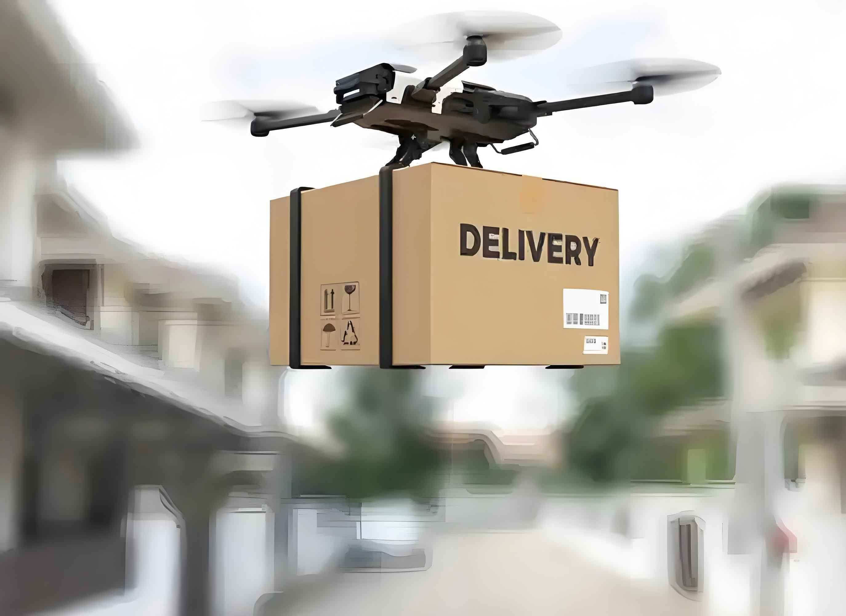
The competitive landscape has evolved in tandem with this market explosion. It is no longer the sole domain of specialized aviation firms. While companies like DJI (China), Parrot (France), and 3D Robotics (USA) established the early market, the potential of civilian drones has attracted massive investment and entry from diverse sectors. E-commerce and logistics leaders such as Amazon (Prime Air) and Alphabet’s Wing are pioneering drone delivery ecosystems. In China, companies like Tencent, through partnerships, and JD.com are exploring similar avenues. Even consumer electronics firms have entered the fray, further blurring the lines between gadgets and aviation platforms. This influx of capital and talent from the broader technology sector is a key driver of the innovation cycle, pushing civilian drones beyond remote-controlled cameras into intelligent, connected systems.
The Innovation Engine: Convergence Creating Capability
Innovation in the civilian drone space is less about inventing entirely new platforms and more about strategic convergence. The core airframe and propulsion systems have become increasingly commoditized. The true value and capability are now being created by integrating drone systems with other advanced technologies, transforming them from dumb flying machines into smart, networked data acquisition and delivery nodes. This convergence follows several distinct but often interlinked pathways.
First, the fusion with precise positioning and navigation systems (GPS, GLONASS, BeiDou, Galileo) is fundamental. It enables automated flight paths, geofencing, and the accurate tagging of collected data with location information. This is critical for applications like precision agriculture, where a drone must systematically cover a field, or infrastructure inspection, where identifying the exact location of a crack or corrosion is essential.
Second, and perhaps most transformative, is the integration of sophisticated processing chipsets. Embedding powerful system-on-a-chip (SoC) solutions from companies like Qualcomm and Intel equips civilian drones with on-board computational intelligence. This allows for real-time processing tasks that were previously impossible or required ground-based computation. These tasks include:
- Advanced computer vision for obstacle avoidance and subject tracking.
- On-board image stabilization and video encoding.
- Direct 4G/5G connectivity for real-time data transmission.
- Running complex algorithms for autonomous decision-making within defined parameters.
The processing power can be conceptualized as a key determinant of a drone’s autonomy level. A simple model might relate autonomy $A$ to processing capability $P$, sensor suite diversity $S$, and algorithmic sophistication $Alg$:
$$ A = f(P, S, Alg) = \kappa \cdot \frac{P \times \sum_{i=1}^{n}S_i \times Alg}{C} $$
where $\kappa$ is a platform-specific constant and $C$ represents computational latency. Higher $A$ enables more complex operations but also increases privacy-intrusive potential.
Third, the marriage of civilian drones with advanced imaging and immersive technologies dramatically amplifies their data collection prowess. High-resolution, multi-spectral, and thermal cameras capture details invisible to the naked eye. When combined with photogrammetry software, drones can create highly accurate 3D models of terrain, structures, and even crowds. The integration with Virtual Reality (VR) allows an operator to experience a drone’s perspective in real-time, creating an immersive surveillance tool. The data volume $D_v$ generated by such a system over an operation time $t$ can be modeled as:
$$ D_v(t) = \int_0^t \left( R_{vid} + R_{img} + R_{meta} \right) dt $$
where $R_{vid}$ is the video data rate, $R_{img}$ is the still image capture rate, and $R_{meta}$ includes geospatial, temporal, and sensor telemetry data.
Fourth, connectivity and sharing functionalities complete the loop. The “smart” civilian drone is not an isolated device; it is a node in the Internet of Things. The ability to live-stream video, instantly upload high-resolution imagery to the cloud, and share data across platforms is a standard feature. This creates a persistent digital trail of aerial observations, turning a local flight into a potentially global data event.
The convergence of these technologies is not sequential but simultaneous, creating a multiplicative effect on capability. A modern civilian drone can autonomously navigate to a GPS coordinate (Convergence 1), use its on-board processor and stereo cameras to avoid power lines (Convergence 2), capture a 4K video stream while building a 3D model of a building (Convergence 3), and live-stream that feed to an online platform (Convergence 4). It is this integrated capability that underpins both its commercial promise and its privacy peril.
Deconstructing the Privacy Threat Matrix
The privacy implications of civilian drones stem directly from their technological convergences. They lower the barrier to effective, persistent, and scalable surveillance, challenging traditional conceptions of private space and anonymous movement. The threat is not monolithic but a matrix of interconnected risks.
| Technology Convergence | Primary Capability Enabled | Specific Privacy Risk | Scale of Impact |
|---|---|---|---|
| High-Res Imaging & VR/3D Modeling | Ultra-detailed visual capture & reconstruction | Intrusion into private spaces (e.g., over fences, into windows); creation of permanent, searchable 3D replicas of property and individuals. | Targeted & Persistent |
| On-board AI & Tracking | Automatic subject detection, classification, and tracking | Enables mass, automated surveillance of individuals and groups in public/private spaces without human intervention. | Scalable & Automated |
| Multi-Spectral Sensors (Thermal, LiDAR) | Collection of non-visible spectrum data | Revealing activities inside structures (thermal), detailed topography, and personal data not meant for public view. Defeats traditional visual privacy measures. | Invasive & Non-Consensual |
| Connectivity & Real-time Sharing | Instantaneous global data dissemination | Loss of contextual integrity; personal moments or locations broadcast and archived online without control, leading to reputational harm, profiling, or stalking. | Global & Permanent |
| Size, Stealth & Maneuverability | Covert or unobtrusive operation | Surveillance can be conducted without the knowledge or consent of the data subject, eliminating the possibility of counter-measures or objection. | Covert & Unaccountable |
Fundamentally, civilian drones disrupt the “reasonable expectation of privacy,” a core legal concept. Traditionally, this expectation was vertically defined; one had privacy within the home’s curtilage, shielded from ground-level observation. Drones render this model obsolete. They operate in the vertical dimension, easily peering over walls, fences, and into backyards and upper-story windows. The formula for a “privacy violation potential” $V$ could consider altitude $h$, sensor resolution $r$, and distance from private property $d$:
$$ V(h, r, d) = \frac{r}{h} \cdot \frac{1}{\max(d, 1)} $$
Lower altitude ($h$) and higher resolution ($r$) exponentially increase intrusion potential, even from a legal distance ($d$).
Furthermore, the automated, data-driven nature of modern civilian drones facilitates a shift from targeted, suspicion-based surveillance to persistent, ambient data collection. A drone mapping a city for traffic analysis may incidentally capture countless individuals’ comings and goings, their associations, and their daily routines. When combined with facial recognition or gait analysis software (enabled by on-board AI), this ambient data becomes personally identifiable and analyzable at scale. The risk is no longer just an individual peeping Tom but the systemic, automated harvesting of public life for undefined future use by corporations or authorities.
Regulatory Divergence: U.S. Experimentation and China’s Emerging Framework
The global response to regulating civilian drones, particularly concerning privacy, is fragmented and nascent. The approaches of the United States and China, as two leading markets and innovators, illustrate different priorities and methodologies in balancing innovation with rights protection.
In the United States, regulation has been primarily driven by the Federal Aviation Administration (FAA) with a dominant focus on airspace safety and integration. The FAA’s Part 107 rules for small unmanned aircraft systems established a operational framework (visual line-of-sight, altitude limits, pilot certification) but explicitly sidestepped privacy, stating it was beyond the rule’s scope. However, privacy concerns have been acknowledged at the highest levels. The 2015 Presidential Memorandum on domestic drone use mandated that federal agencies consider privacy, civil rights, and civil liberties when deploying drone technology. It imposed requirements like data minimization (e.g., not retaining data for more than 180 days unless necessary) and transparency. Furthermore, the Department of Homeland Security released “Best Practices” for privacy protection in UAS programs, outlining principles for data collection, use, retention, and dissemination based on Fair Information Practice Principles (FIPPs). This creates a bifurcated system: strict safety rules for all operators from the FAA, and privacy rules that currently only bind government agencies, with private sector adherence being largely voluntary through suggested “multi-stakeholder engagement” processes.
China’s regulatory landscape is evolving rapidly from a prior state of minimal oversight. The focus is also heavily on safety and state control, but the developing framework introduces mechanisms with significant privacy implications. The key document is the draft Provisional Regulation for the Operation of Light and Small Unmanned Aircraft Systems. Its primary tools are:
- Strict Airspace Management and No-Fly Zones: Mandating that operators adhere to dynamically updated no-fly zones (near airports, government facilities, etc.), often enforced through technical means.
- Technical Enforcement via “UAV Clouds”: Requiring certain categories of civilian drones to connect to government-approved online monitoring systems (“UAV Clouds”). These systems can manage flight plans, provide real-time tracking, and theoretically enforce geofencing (electronic barriers).
- Data Retention Mandates: Requiring operators of certain drone classes to record flight data and retain it for at least three months, accessible to authorities.
While not framed as privacy legislation, these measures inherently impact privacy by centralizing control and data. They limit where drones can fly, create a log of all flights, and enable state oversight of operations. This represents a more centralized, technocratic model of control compared to the U.S.’s currently more decentralized, sector-specific approach to privacy.
| Aspect | United States Approach | China’s Developing Approach |
|---|---|---|
| Primary Regulator | Federal Aviation Administration (FAA) | Civil Aviation Administration of China (CAAC) and multiple ministries. |
| Core Focus | Airspace Safety & Integration | Airspace Safety & State Sovereignty/Security |
| Explicit Privacy Rules for Private Operators | Limited; voluntary best practices encouraged. | Not explicitly addressed in operational rules. |
| Key Technical Control Mechanism | Remote ID (phased implementation) for tracking. | Mandatory connection to government-sanctioned “UAV Cloud” systems for monitoring and geofencing. |
| Data Governance | Agency-specific rules for government drones; limited rules for private data. | Operational flight data retention (e.g., 3+ months) mandated for authorities. |
| Philosophy | Sectoral, with safety-first, privacy-as-afterthought for private sector. | Holistic control through technical integration and central oversight. |
Future Trajectories and Proactive Compliance
The technology of civilian drones will continue to advance, making them smaller, smarter, longer-flying, and more integrated into urban infrastructure (e.g., for delivery, traffic management, emergency response). Concurrently, societal awareness of privacy risks will grow, and legal frameworks will inevitably crystallize, though likely lagging behind the technology. The trajectory suggests a future where privacy-by-design and proactive compliance become critical for industry sustainability and social license to operate.
For drone manufacturers and platform providers (UAV Cloud operators), the responsibility extends beyond the airframe. They are the gatekeepers of capability and data flows. Key compliance and ethical steps include:
- Privacy by Design: Embedding privacy considerations into the development cycle. This includes building in “geofencing” that respects not just security zones but also sensitive areas like schools, hospitals, and residential neighborhoods, based on aggregated public input.
- Transparent Data Practices: Clear, accessible privacy policies detailing what data (flight telemetry, user information, captured media) is collected, how it is processed, stored, and with whom it is shared, including government authorities under legal request.
- User Empowerment Tools: Providing users with easy-to-use tools to blur or anonymize individuals or properties in automatically captured media before upload, and clear settings to control data sharing.
- Security Hardening: Implementing strong encryption for data transmission and storage to prevent unauthorized access or hijacking of the civilian drone itself, which could turn it into a rogue surveillance device.
The efficacy $E_c$ of a provider’s privacy framework could be modeled as a function of technical controls $T$, policy clarity $P_c$, and user empowerment $U_e$:
$$ E_c = \alpha \log(T) + \beta P_c + \gamma U_e $$
where $\alpha, \beta, \gamma$ are weights assigned to each factor based on regulatory emphasis.
For enterprise and commercial operators of civilian drones, a robust internal governance program is essential. This involves:
- Pre-Flight Privacy Impact Assessment (PIA): Systematically evaluating the purpose, data collection scope, necessity, and proportionality of each drone operation, especially those in public or semi-public spaces.
- Policy Development and Training: Establishing clear internal policies on acceptable use, data handling, retention, and deletion. Mandatory training for all pilots and data handlers on privacy laws and ethical principles is crucial.
- Data Minimization and Retention Schedules: Collecting only the data strictly necessary for the stated purpose (e.g., a roof inspection doesn’t require recording neighboring properties). Adhering to strict, legally-compliant data retention and secure deletion schedules.
- Stakeholder Communication: Proactively informing communities about drone operations, their purpose, schedule, and data handling practices, thereby managing expectations and building trust.
Ultimately, the sustainable future of the civilian drone industry hinges on recognizing that privacy is not an obstacle to innovation but a necessary parameter for it. The mathematical optimization problem is not to maximize data collection $D_{col}$ or flight freedom $F$ alone, but to find the solution that maximizes societal benefit $B$ under privacy constraints $C_p$ and safety constraints $C_s$:
$$ \text{Maximize } B(D_{col}, F) $$
$$ \text{Subject to: } C_p(D_{col}, F) \leq \epsilon_p, \quad C_s(F) \leq \epsilon_s $$
where $\epsilon_p$ and $\epsilon_s$ represent the tolerable thresholds for privacy infringement and safety risk, respectively, as defined by evolving law and social norms.
In conclusion, civilian drones are reshaping our physical and digital worlds. Their market growth is undeniable, and their innovative convergences with AI, networking, and imaging are unlocking profound benefits. However, this very power necessitates a parallel evolution in our ethical and legal frameworks. By learning from early regulatory experiments, anticipating technological trends, and implementing privacy-by-design and proactive governance, we can steer the development of civilian drones towards a future where the sky is not a realm of unchecked surveillance, but a space for responsible and beneficial innovation.