In the era of rapid technological advancement, I have observed a transformative shift in transportation systems, driven by big data analytics and the proliferation of civilian drones. These innovations promise to enhance efficiency, safety, and sustainability, yet they also present complex challenges that require meticulous planning and regulation. From my perspective as a researcher in this field, the integration of big data into smart transportation and the development of robust airspace management for civilian drones are critical endeavors that will shape the future of mobility. This article delves into these topics, exploring their applications, current issues, and potential solutions, with a focus on leveraging data-driven approaches and grid-based airspace mapping to optimize both ground and aerial traffic.
Big data, characterized by its volume, velocity, variety, and veracity, has become a cornerstone of smart transportation systems. In my analysis, its applications span multiple domains, fundamentally altering how we plan, manage, and experience travel. For public出行, big data enables real-time traffic monitoring and route optimization, reducing congestion and accident risks. Specifically, I see two primary directions: bus transit and shared mobility. In bus systems, data from sensors and GPS devices allows for dynamic scheduling and routing, minimizing delays. For shared出行, such as ride-hailing or bike-sharing, algorithms analyze demand patterns to position vehicles strategically, ensuring availability and reducing idle time. This not only improves user convenience but also decreases urban traffic pressure. The core of these applications lies in data collection and processing; for instance, traffic flow can be modeled using fundamental equations like $$ Q = \rho \times v $$, where \( Q \) represents traffic flow (vehicles per hour), \( \rho \) is vehicle density (vehicles per kilometer), and \( v \) is speed (kilometers per hour). By continuously monitoring these parameters, systems can predict congestion and suggest alternative routes.
| Domain | Specific Application | Data Sources | Key Benefits |
|---|---|---|---|
| Public Transit | Real-time bus scheduling and route optimization | GPS, IoT sensors, passenger counts | Reduced wait times, increased efficiency |
| Shared Mobility | Demand forecasting and vehicle repositioning | App usage data, traffic cameras, historical trends | Enhanced accessibility, lower congestion |
| Traffic Management | Congestion prediction and signal control | Loop detectors, surveillance videos, social media feeds | Improved traffic flow, accident prevention |
| Infrastructure Planning | Road condition assessment and maintenance prioritization | Satellite imagery, vehicle telematics, weather data | Cost savings, prolonged asset life |
For transportation departments, big data facilitates informed decision-making in planning and operations. I categorize this into two aspects: real-time road monitoring and infrastructure evaluation. By analyzing factors such as inter-vehicle distances and speeds, authorities can assess congestion levels and implement traffic control measures, like variable speed limits or lane management. Moreover, data-driven models support long-term planning; for example, logistic platforms built on vehicle networking systems provide insights into freight movements, enabling policies such as restricting truck access during peak hours in cities like Shanghai and Beijing to alleviate pressure. These models often incorporate optimization formulas, such as minimizing total travel time: $$ \min \sum_{i} t_i(x) $$, where \( t_i(x) \) is the travel time for vehicle \( i \) under conditions \( x \), subject to constraints like capacity limits. Additionally, big data enhances transportation信息服务 by offering personalized driver feedback via telematics, correcting unsafe habits and reducing accident probabilities. This holistic approach underscores the value of data in creating safer, more efficient transport ecosystems.
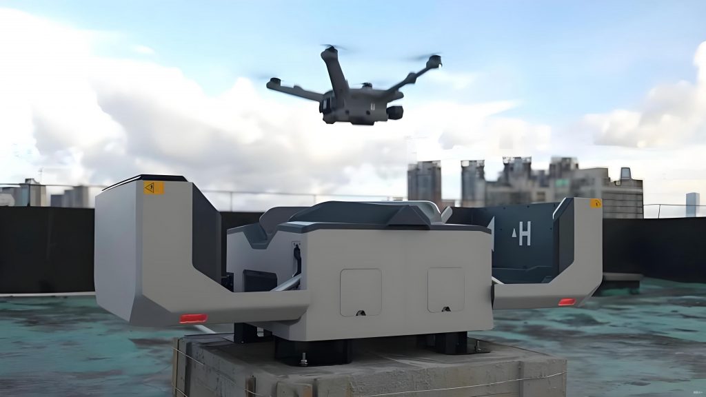
Transitioning to aerial mobility, the rise of civilian drones has introduced both opportunities and significant challenges. From my viewpoint, incidents of drones disrupting aviation, often referred to as “black flights,” highlight urgent regulatory and operational gaps. These events not only disturb air traffic control but also pose severe risks to commercial aviation; a collision between a drone and an aircraft could have catastrophic consequences. The root causes include inadequate laws and unclear airspace demarcation for civilian drones. In many regions, regulations are nascent, leaving ambiguities in how drones should operate, especially near airports. For instance, while some rules mandate geofencing or cloud systems for drones above a certain weight, lighter models may escape scrutiny, creating监管盲区. This underscores the need for comprehensive frameworks that balance innovation with safety.
In studying airspace management, I find that current methods for划设隔离空域 are often impractical, leading to difficulties in implementation. Airspace is typically classified into controlled, monitored, and reported zones, but the lack of detailed guidelines complicates drone integration. To address this, I look to international examples, such as the UAS Facility Map released by the U.S. Federal Aviation Administration (FAA). This grid-based map delineates height restrictions for drones in Class E airspace, simplifying the application process for operators and enhancing safety. Each grid cell, measuring 1 minute of latitude by 1 minute of longitude (approximately 1 square mile), specifies a maximum altitude in feet above ground level (AGL), with values like 400 indicating a 400-foot limit. Cells marked 0 require additional coordination, reflecting high-risk areas near airports. This approach leverages data to provide clarity and efficiency, a model worth adapting globally.
Building on this, I propose a similar grid system for managing civilian drones in other regions. By analyzing factors such as flight procedures, traffic patterns, and safety margins, we can create detailed airspace maps that specify permissible drone altitudes. For example, around an airport, the minimum safe altitude for manned aircraft, denoted as \( H_{MSA} \), can be used to derive drone limits with a safety buffer. A common formula is: $$ H_{drone} = H_{MSA} + \Delta H $$, where \( \Delta H \) is a safety裕度, often set at 600 meters based on regulatory requirements. Incorporating geographic elevation data \( E \), the ground-referenced height for civilian drones becomes: $$ H_{AGL} = H_{drone} – E $$. This calculation ensures separation from manned traffic and terrain obstacles. In practice, a grid覆盖整个塔台管制区 can be generated, with each cell displaying \( H_{AGL} \) values, guiding operators on where and how high to fly. This data can also feed into electronic fencing systems for lightweight civilian drones, enhancing compliance even for models under 1.5 kg.
| Aspect | Current Challenges | FAA Grid Solution | Proposed Adaptation |
|---|---|---|---|
| Regulatory Clarity | Vague laws, exemptions for light drones | Clear Part 107 rules, standardized processes | Unified regulations with mandatory data integration |
| Airspace划设 | Difficulty in isolating空域,操作性不强 | Grid-based maps with height limits | Localized grids based on \( H_{MSA} \) and safety margins |
| Data Utilization | Underused obstacle限制面 data | Automated申请 and审批 systems | Incorporate grids into drone clouds and electronic fences |
| Safety Assurance | Risk of conflicts with manned aircraft | Height restrictions near airports | Dynamic updates based on real-time traffic |
Integrating big data and civilian drones management reveals synergies that can amplify benefits. In smart transportation, drones equipped with sensors can collect real-time traffic data from aerial perspectives, complementing ground-based systems. For instance, drones monitoring highway congestion can feed information into big data platforms, enabling more accurate predictions and responses. This dual-use of civilian drones enhances situational awareness and supports proactive management. Mathematically, this can be modeled as an optimization problem where drone patrol routes are planned to maximize data coverage: $$ \max \int_{A} f(x,y) \, dA $$, subject to battery and airspace constraints, with \( f(x,y) \) representing data utility at coordinates \( (x,y) \). Furthermore, the grid maps for civilian drones can be dynamically adjusted using big data analytics on air traffic flow, ensuring that airspace allocations remain optimal as conditions change.
From a broader perspective, the convergence of these technologies demands interdisciplinary collaboration. I believe that developing standardized data formats and open platforms is crucial for interoperability. For example, traffic data from civilian drones should adhere to protocols like those in vehicle-to-everything (V2X) communications, allowing seamless integration with smart city infrastructures. Additionally, machine learning algorithms can analyze historical drone flight data to identify patterns and predict potential incidents, enhancing regulatory oversight. Formulas such as logistic regression for risk assessment: $$ P(\text{incident}) = \frac{1}{1 + e^{-(\beta_0 + \beta_1 x_1 + \cdots + \beta_n x_n)}} $$, where \( x_i \) are factors like weather or proximity to airports, can inform policy adjustments. This data-driven approach not only mitigates risks but also fosters innovation by providing clear guidelines for civilian drones operators.
In conclusion, the advancements in big data for smart transportation and grid-based management for civilian drones represent pivotal steps toward safer, more efficient mobility systems. Through my exploration, I have highlighted how data analytics can optimize ground traffic flow, reduce accidents, and inform infrastructure planning, while airspace grids can bring order to the rapidly expanding realm of civilian drones. The key lies in embracing these technologies with robust frameworks that prioritize safety and accessibility. As we move forward, continuous research and international cooperation will be essential to harness their full potential, ensuring that our transportation networks evolve to meet the demands of the future.