As an analyst deeply immersed in the realm of unmanned aerial systems, I find the progression of payload technology for military drones to be one of the most dynamic and critical facets of modern warfare. The capability of a military drone is not inherent in its airframe alone but is profoundly defined by the suite of sensors, emitters, and devices it carries—its mission payloads. These systems transform a simple platform into a potent node for intelligence, surveillance, reconnaissance (ISR), electronic warfare, and strike. In this comprehensive exploration, I will detail the current state of these payloads, drawing from global advancements, and project their future trajectories. The term ‘military drone’ will recur throughout, as it is the central vessel for these technological marvels. The integration of advanced payloads is what elevates a military drone from a mere remote-controlled aircraft to a key force multiplier in networked battlespaces.
The foundational role of a military drone is to project persistent, risk-averse sensing and influence across domains. To fulfill roles from tactical reconnaissance to strategic signals intelligence, the payload must be meticulously tailored. I categorize the core payload families for military drones into electro-optical/infrared (EO/IR) sensors, radar systems, electronic warfare (EW) suites, and communications relay apparatus. Each category has undergone significant miniaturization and performance enhancement, driven by the insatiable demand for more capable, survivable, and versatile military drone platforms. The evolution follows a clear path: higher resolution, lower size-weight-and-power (SWaP), greater integration, and all-weather, day-night capability. Let us dissect these categories systematically.
Electro-Optical and Infrared (EO/IR) Surveillance Payloads
EO/IR payloads remain the most ubiquitous eyes of the military drone. They provide the direct visual and thermal imagery that commanders rely on for situational awareness and target engagement. The development here is a relentless push toward smaller, smarter, and more multifunctional systems.
Television Cameras: The workhorse for daytime operations, modern military drone TV cameras use high-resolution area-array CCD or CMOS sensors. Their evolution is encapsulated by the drive for miniaturization and all-weather capability. For instance, contemporary gimbal-stabilized systems house cameras weighing under 2 kg, providing real-time, high-definition video. The key metric is the Ground Sample Distance (GSD), which determines the level of detail. GSD can be approximated by the formula: $$ GSD = \frac{H \times p}{f} $$ where \( H \) is the altitude of the military drone, \( p \) is the pixel pitch of the sensor, and \( f \) is the focal length of the lens. This relationship guides the design trade-offs for a military drone’s surveillance pod.
Forward-Looking Infrared (FLIR) and Infrared Cameras: For night and low-visibility operations, thermal imagers are indispensable. First-generation FLIRs used scanning arrays, but second and third-generation systems employ staring focal plane arrays (FPAs). The noise-equivalent temperature difference (NETD), a measure of thermal sensitivity, is a critical performance parameter: $$ NETD = \frac{N}{D^* \cdot \sqrt{A_d \cdot \Delta f}} $$ where \( N \) is the noise, \( D^* \) is the specific detectivity, \( A_d \) is the detector area, and \( \Delta f \) is the bandwidth. Modern microbolometer-based systems for small military drones achieve NETD values below 50 mK with weights under 1 kg. The trend is toward dual-band (MWIR and LWIR) sensors on a single chip, enhancing target discrimination for the military drone.
Laser Designators/Range Finders: These systems enable precise targeting and geolocation. A military drone equipped with a laser designator can illuminate a target for guided munitions launched from other platforms. The maximum ranging distance \( R_{max} \) for a laser system is governed by the lidar equation: $$ R_{max} = \sqrt[4]{\frac{P_t \cdot \tau_{atm}^2 \cdot \sigma \cdot A_r \cdot \eta}{P_{r, min} \cdot \pi \cdot \theta^2}} $$ Here, \( P_t \) is transmitted power, \( \tau_{atm} \) is atmospheric transmission, \( \sigma \) is target cross-section, \( A_r \) is receiver area, \( \eta \) is system efficiency, \( P_{r, min} \) is minimum detectable power, and \( \theta \) is beam divergence. Advancements aim to increase \( R_{max} \) while shrinking SWaP; systems now weigh under 3 kg with ranges exceeding 15 km.
Line Scanners and Panoramic Cameras: For wide-area surveillance, military drones employ push-broom line-scan CCD cameras or panoramic film/digital cameras. These provide very high ground coverage but often at the cost of real-time processing. The coverage width \( W \) at nadir is given by: $$ W = 2H \cdot \tan\left(\frac{FOV}{2}\right) $$ where \( FOV \) is the instantaneous field of view. Modern digital line scanners can provide near-real-time imagery with sub-meter resolution, bridging the gap between traditional photography and live video for the military drone.
The dominant trend is sensor fusion within a common stabilized multi-sensor turret. A single military drone gimbal now commonly integrates a color TV camera, a high-definition FLIR, a laser rangefinder/designator, and sometimes a short-wave infrared (SWIR) camera. This Multi-Spectral Targeting System (MTS) paradigm maximizes mission flexibility for the military drone. The table below summarizes representative EO/IR payload characteristics for various military drone classes.
| Payload Type | Typical Weight (kg) | Key Performance Metric | Representative Application (Military Drone Class) | Trend |
|---|---|---|---|---|
| HD Day Camera | 0.5 – 2 | GSD < 5 cm at 1 km | Tactical Mini/Micro UAV | 4K/8K resolution, AI-based tracking |
| Micro-FLIR (Uncooled) | 0.3 – 1.5 | NETD < 40 mK | Small Tactical Military Drone | Dual-band, pixel pitch reduction |
| Laser Designator Module | 1.5 – 4 | Range: 10-20 km, Designation Code Compatibility | MALE UAV (e.g., Predator-class) | Eye-safe wavelengths, multi-function comms |
| Multi-Sensor Turret (EO/IR/Laser) | 15 – 50 | Full-motion video, < 10 μrad stabilization | Strategic HALE Military Drone | Hyper-spectral imaging, automatic target cueing (ATC) |
| Wide-Area Line Scanner | 5 – 15 | Swath Width > 10 km, 10 MPixel/sec | HALE/MALE Surveillance Military Drone | On-board real-time change detection |
Radar Systems for Military Drones
To break the weather barrier and enable all-weather persistence, radar systems are being aggressively miniaturized for military drone integration. Radar provides capabilities that EO/IR cannot: penetration of clouds, fog, and in some cases, foliage and light structures.
Moving Target Indicator (MTI) Radar: These radars detect and track moving vehicles or personnel by filtering out stationary ground clutter. They are typically pulse-Doppler radars. The minimum detectable velocity (MDV) is a key parameter and is related to the pulse repetition frequency (PRF): $$ MDV \approx \frac{\lambda \cdot PRF}{4} $$ where \( \lambda \) is the radar wavelength. Modern micro-MTI radars for small military drones operate in Ku-band (e.g., 16-17 GHz) and weigh under 20 kg, providing a surveillance footprint of several hundred square kilometers from medium altitude. The ability of a military drone to perform wide-area MTI transforms it into a persistent ground surveillance asset.
Synthetic Aperture Radar (SAR): SAR is arguably the most significant radar advancement for military drones. It creates high-resolution two-dimensional imagery by synthesizing a large antenna aperture from the motion of the military drone. The azimuth resolution \( \delta_{az} \) of a stripmap SAR is given by: $$ \delta_{az} = \frac{D}{2} $$ where \( D \) is the length of the physical antenna. Remarkably, this resolution is independent of range and wavelength. For spotlight SAR, which steers the beam to dwell on a target area, even finer resolution is achievable: $$ \delta_{az} \approx \frac{\lambda}{2 \Delta \theta} $$ where \( \Delta \theta \) is the azimuth angle over which the target is observed. Modern military drone SAR systems, such as those on the Global Hawk, achieve sub-meter resolution (e.g., 0.3m) from long ranges. They often operate in X-band (8-12 GHz) for a good balance of resolution and weather penetration. The table below compares SAR modes common in military drone applications.
| SAR Mode | Typical Resolution | Coverage Rate | Primary Use on Military Drone | Key Challenge |
|---|---|---|---|---|
| Stripmap | 1 – 3 m | High (continuous strip) | Broad area mapping, route surveillance | Data volume management |
| Spotlight | 0.1 – 0.3 m | Low (focused on a spot) | High-resolution imaging of fixed targets | Motion compensation, processing load |
| ScanSAR | 3 – 20 m | Very High (multiple sub-swaths) | Wide-area ocean/terrain surveillance | Azimuth ambiguity suppression |
| Interferometric SAR (InSAR) | Height accuracy ~ m | Moderate | Digital elevation model (DEM) generation | Precise baseline knowledge |
The processing for SAR is computationally intensive. The trend is to perform more on-board processing on the military drone itself, using application-specific integrated circuits (ASICs) or graphics processing units (GPUs) to generate imagery products in near-real-time, reducing the demand on downlink bandwidth.
Light Detection and Ranging (LIDAR): While not a radio-frequency radar, LIDAR uses laser pulses for high-resolution 3D mapping. The time-of-flight principle is used: $$ R = \frac{c \cdot \Delta t}{2} $$ where \( c \) is the speed of light and \( \Delta t \) is the round-trip time. Military drone LIDAR systems are used for terrain mapping, obstacle avoidance, and target identification. Flash LIDAR systems, which illuminate an entire scene with a single broad pulse, are particularly promising for autonomous navigation and landing of military drones in GPS-denied environments.
Electronic Warfare (EW) Payloads
The electromagnetic spectrum is a contested battlespace, and military drones are increasingly vital players in electronic warfare. EW payloads turn a military drone into a low-observable, persistent node for signal intelligence (SIGINT), electronic attack (EA), and electronic protection (EP).
Signals Intelligence (SIGINT): This includes Communications Intelligence (COMINT) and Electronic Intelligence (ELINT). A military drone equipped with a sensitive receiver and direction-finding (DF) antenna array can geolocate enemy communications and radar emitters. The geolocation accuracy, often using time-difference-of-arrival (TDOA) or frequency-difference-of-arrival (FDOA) techniques, depends on the baseline and signal parameters. For a two-point DF system on a single military drone, the bearing error \( \sigma_{\theta} \) relates to the range error \( \sigma_R \): $$ \sigma_R \approx R \cdot \sigma_{\theta} $$ where \( R \) is the range to the emitter. Swarms of military drones cooperating can provide much higher geolocation accuracy through multilateration.
Electronic Attack (EA) / Jamming: Military drones can carry jammers to deny the enemy use of specific radio frequencies. Jamming effectiveness is often measured by the jamming-to-signal ratio (J/S) required at the victim receiver. The power required for a noise jammer follows the simplified one-way radar equation: $$ P_j = \frac{P_r \cdot (J/S) \cdot 4\pi R^2 \cdot L}{G_j \cdot G_r \cdot \lambda^2} $$ where \( P_j \) is jammer power, \( P_r \) is victim receiver power, \( R \) is range, \( L \) is loss, \( G_j \) is jammer antenna gain toward receiver, and \( G_r \) is victim receiver antenna gain toward jammer. The low cost and expendable nature of some military drones make them ideal for forward, risky jamming missions. Miniaturized jammers for tactical military drones now target GPS, tactical data links, and cellular networks.
Decoy and Countermeasure Dispensers: Military drones can be used to deploy expendable decoys, such as chaff (radar reflectors) or active radio frequency decoys, to protect high-value assets. The deployment pattern and the radar cross-section (RCS) of the chaff cloud are critical parameters. The RCS of a cloud of N dipoles can be modeled statistically, but its effectiveness in seducing a radar-guided missile depends on complex engagement geometry.
The integration of EW suites is a major trend. A single military drone platform may combine a SIGINT receiver, a radar warning receiver (RWR), and a responsive jammer, all controlled by an integrated processor that can classify threats and apply the optimal countermeasure autonomously.
Communications Relay Payloads
In the modern, dispersed battlefield, maintaining connectivity is a paramount challenge. The military drone is uniquely positioned to serve as an airborne communications node, extending the range and reliability of networks.
The fundamental benefit is elevation. The radio horizon distance \( d \) for an antenna at height \( h \) is approximately: $$ d \approx \sqrt{2k \cdot R_e \cdot h} $$ where \( R_e \) is the Earth’s radius and \( k \) is a factor accounting for atmospheric refraction (typically 4/3). For a military drone at 10,000 ft (≈3 km), the horizon extends to about 230 km, vastly exceeding that of a ground vehicle. This makes a military drone an excellent relay for line-of-sight (LOS) communications like tactical data links (Link 16, TCDL) and mobile ad-hoc networks (MANETs).
Relay payloads are essentially software-defined radios (SDRs) with robust encryption and networking stacks. The key metrics are data rate, latency, number of simultaneous links, and resistance to jamming. A military drone acting as a relay can connect forward-deployed troops with command centers or link ships beyond the horizon. The trend is toward multi-band, multi-mission radios that can simultaneously handle communications, radar, and EW functions through advanced beamforming and spectrum-sharing techniques. The advent of mesh networking allows swarms of military drones to form resilient, self-healing communication backbones.
Convergence and Future Trajectories
Having dissected the payload categories, I perceive several powerful, convergent trends shaping the next generation of military drone mission systems.
Multi-Function, Multi-Spectral Sensor Fusion: The distinction between sensor types is blurring. Future military drone payloads will be integrated systems-on-a-chip or systems-in-a-package. A single aperture might use meta-materials to steer beams for both SAR imaging and communications. Data from EO, IR, SAR, and SIGINT will be fused on-board using artificial intelligence (AI) to create a composite, identified track of a target, reducing the operator’s cognitive load. The performance of such a fused system can be conceptualized as a super-additive function: $$ P_{fused} = \alpha \cdot \sum_i P_i + \beta \cdot I(P_i, P_j) $$ where \( P_i \) are individual sensor performances, \( I \) represents the information gain from correlation, and \( \alpha, \beta \) are weighting factors.
Extreme Miniaturization (SWaP-C Reduction): Moore’s Law and micro-electromechanical systems (MEMS) continue to drive payloads smaller. The goal is to put SAR or sophisticated SIGINT capability on a Group 2 or even Group 1 military drone (hand-launched). This democratizes high-end sensing. The scaling relationship often follows a power law for cost and size relative to performance.
Autonomy and On-Board Processing: The limitation is often not the sensor but the data pipe. Therefore, the processing is moving onto the military drone. Edge computing allows the platform to perform automatic target recognition (ATR), change detection, and even decide which snippets of data are critical enough to transmit. This is governed by the fundamental trade-off: $$ T_{process} + \frac{D_{result}}{B} < \frac{D_{raw}}{B} $$ where \( T_{process} \) is on-board processing time, \( D \) is data size, and \( B \) is bandwidth. When the inequality holds, on-board processing wins.
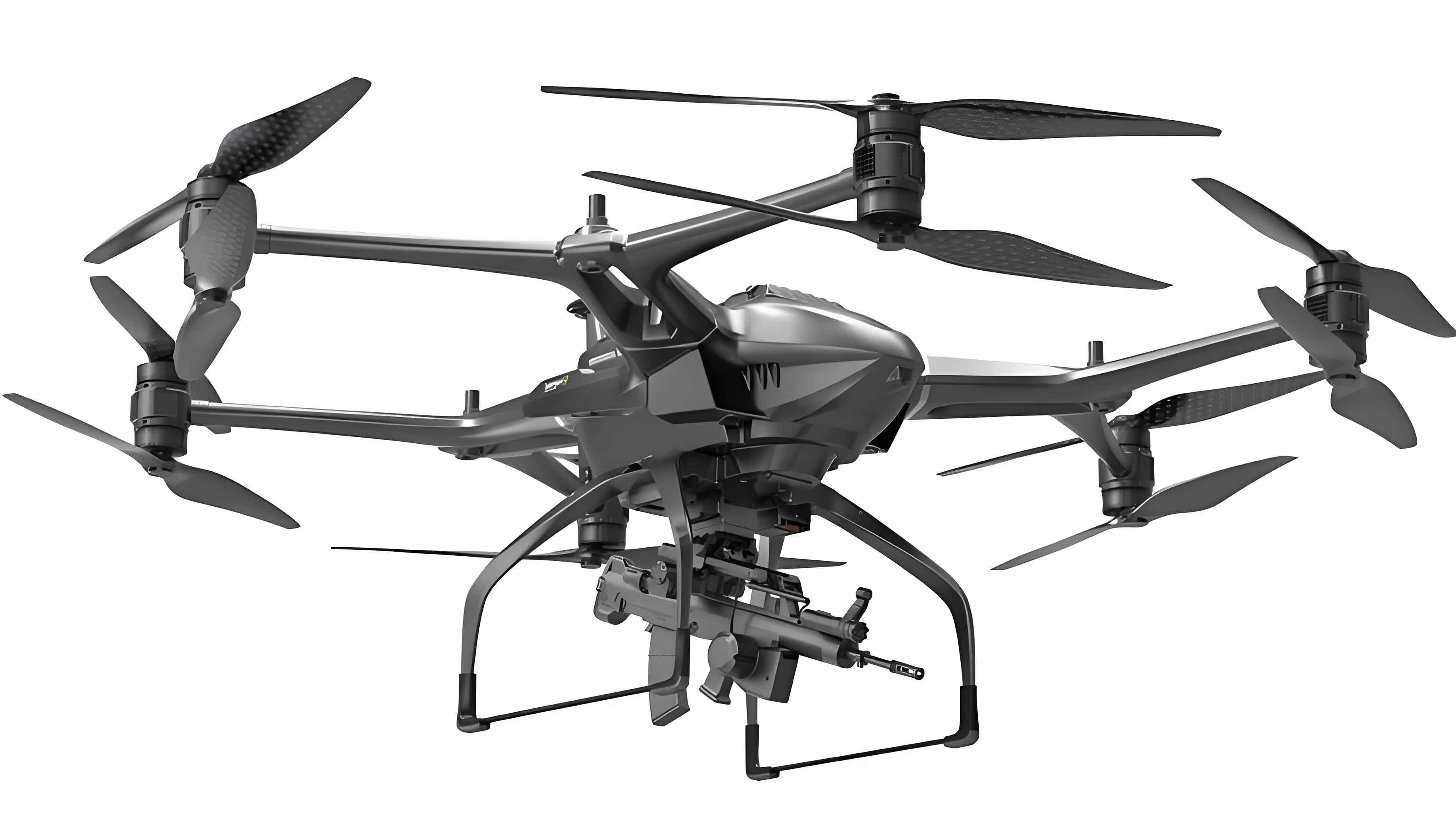
Directed Energy and Kinetic Effectors: The logical endpoint of payload development is to include effectors. Laser weapons are being miniaturized for counter-drone and ground attack roles on large military drones. Furthermore, the military drone is evolving into an unmanned combat aerial vehicle (UCAV) or loyal wingman, carrying internal air-to-air and air-to-ground missiles. The payload bay of a stealthy military drone must then be designed for both sensors and weapons, a significant integration challenge.
Resilience and Anti-Access/Area Denial (A2/AD) Operations: Future military drone payloads must operate in contested electromagnetic and cyber environments. This necessitates low-probability-of-intercept/low-probability-of-detection (LPI/LPD) sensors and communications, advanced electronic counter-countermeasures (ECCM), and cyber-hardened data links.
In my assessment, the journey of the military drone payload is from a specialized, single-role attachment to the brain and nervous system of an autonomous, networked, multi-role agent. The progression from the simple radio-controlled cameras of the past to today’s integrated, gimballed multi-spectral targeting systems and mini-SARs is staggering. Tomorrow’s military drone will carry a unified sensor suite that perceives the battlefield in all spectra, fuses that data into understanding, and can optionally apply kinetic or non-kinetic effects—all while maintaining stealth and connectivity. The nations that master the integration of these advanced payloads with resilient, scalable military drone platforms will hold a decisive advantage in the future security landscape. The payload, therefore, is not merely equipment; it is the essence of the military drone’s transformative power.