In recent years, the application of multirotor drones in infrastructure inspection has gained significant attention due to their flexibility and efficiency. As a key tool for deep-level inspections of utility poles and lines using visible light, infrared, and other payload technologies, multirotor drones require advanced autonomous inspection techniques to enhance quality and efficiency. This paper focuses on optimizing the trajectory for multirotor drone autonomous fine inspections around poles, addressing challenges such as redundant waypoints, poor continuity, and collision risks. We propose a comprehensive approach that includes waypoint processing during navigation and shooting, trajectory stability enhancement, and collision avoidance checks. By leveraging algorithms like Douglas-Peucker (DP) and spherical unit limitation, we streamline the inspection path and ensure smooth, safe operations. Experimental validation on optical fiber composite overhead ground wire (OPGW) connection poles demonstrates the effectiveness of our method, with waypoint reduction rates exceeding 97% and high trajectory consistency. This work aims to provide a reference for similar projects, promoting the intelligent development of multirotor drone inspections.
The manual operation of multirotor drones for fine inspections typically involves a pilot and a task operator, demanding high skill levels in maneuvering, photography, and coordination. To overcome these limitations, we emphasize the optimization of autonomous inspection technologies, which rely on pre-defined inspection trajectories. Initially, manual drone operations capture real-time dynamic positioning waypoints and shooting information, but these often suffer from issues like excessive redundant waypoints and discontinuous paths. Thus, scientific processing methods are essential to refine the trajectory and enable efficient autonomous flights.
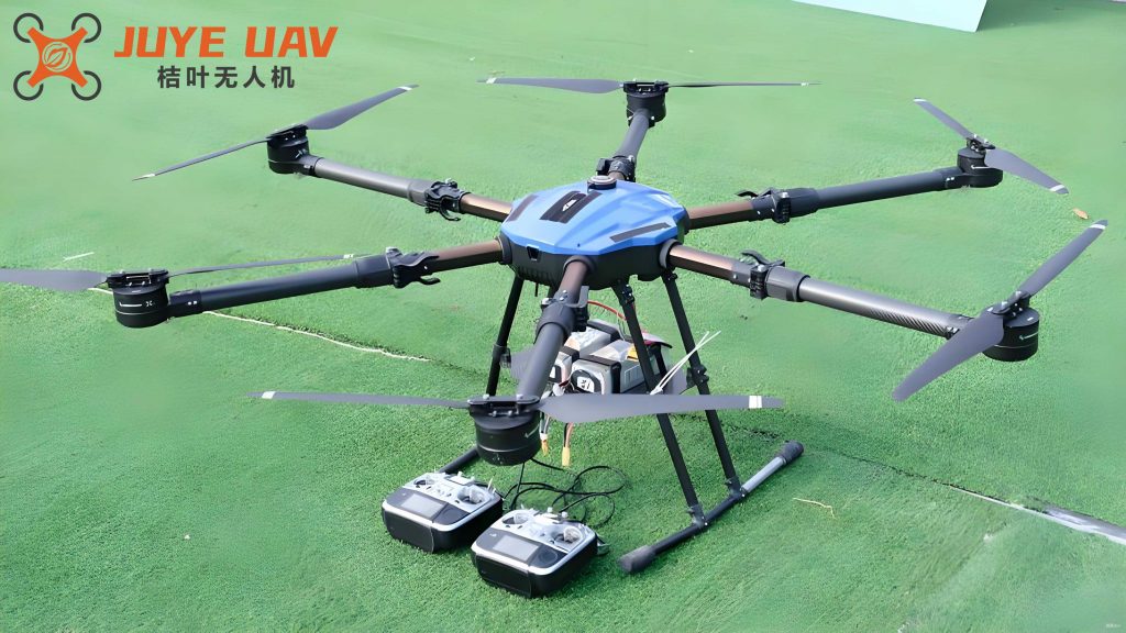
Multirotor Drone Autonomous Inspection Technology
The fine inspection using multirotor drones involves hovering at specific points to capture images of key areas on the pole body and附属 equipment, analyzing these images to detect abnormalities, defects, or potential hazards in the line system. For instance, in OPGW cable connection poles, the multirotor drone inspects technical indicators such as three-point grounding conditions, cable clamp spacing, minimum distance between the cable and pole, and splice box height. Non-compliance with these indicators can lead to safety risks like electrical corrosion or breakage, underscoring the importance of drone-based inspections for maintaining power communication system stability. The inspection targets include cable damage, corrosion, corona effects, as well as line hardware, insulators, grounding devices, and pole foundations.
The autonomous inspection process for multirotor drones consists of six key steps: inspection permission, task briefing, site preparation, equipment checks, flight operations, and site withdrawal. During flight operations, the multirotor drone first undergoes manual control to record waypoints and shooting data, which are then used to generate an autonomous inspection trajectory. This trajectory is uploaded to the drone for automatic flight mode, ensuring repeatable and efficient inspections. Site preparation involves划分 areas for operation, takeoff/landing, and equipment placement, with safety measures like secure distancing and surface平整度 checks. Equipment inspection covers connections, rotating parts, power sources, and flight modes to prevent system anomalies.
| Step | Description | Key Actions |
|---|---|---|
| 1. Inspection Permission | Verify line design and pole conditions, check weather and terrain, apply for permission. | Confirm consistency, assess suitability. |
| 2. Task Briefing | Communicate inspection details, review segments, time, and model, emphasize hazards. | Clarify requirements, implement safety measures. |
| 3. Site Preparation | Divide into operation, takeoff/landing, and equipment areas, set safety signs. | Ensure平整度, use tarps if needed, maintain distances. |
| 4. Equipment Check | Assemble and inspect drone components, including connections, power, and flight modes. | Detect anomalies, ensure readiness. |
| 5. Flight Operations | Manual flight to record waypoints, generate autonomous trajectory, switch to auto mode. | Capture data, optimize path, execute inspection. |
| 6. Site Withdrawal | Power down drone, store batteries in explosion-proof box, withdraw tools and equipment. | Check materials, ensure safety. |
Optimization Techniques for Autonomous Inspection Trajectory
In actual inspection trajectories, multirotor drones rely on internal RTK positioning modules and control systems to record waypoint information. However, at high collection frequencies (e.g., 10Hz), a large number of无效 waypoints are generated, leading to cluttered paths. For example, in an OPGW connection pole inspection, the original trajectory contained 1315 waypoints, resulting in inefficiencies. To address this, we developed a standardized trajectory formulation process that reduces waypoints while maintaining path integrity. The overall workflow is illustrated in the following diagram, which outlines the steps for processing navigation and shooting waypoints, enhancing stability, and performing collision checks.
Analysis of Actual Inspection Trajectory
The original inspection trajectory for a multirotor drone often includes numerous redundant waypoints due to continuous adjustments during flight. Using the OPGW pole example, we observed that the high waypoint count (1315 points) could decrease operational efficiency. Therefore, optimization is necessary to create a concise and standardized independent inspection trajectory. This involves analyzing the trajectory data and applying algorithms to eliminate unnecessary points without compromising the inspection coverage.
Standardized Trajectory Formulation Process
The standardized trajectory formulation for multirotor drone autonomous inspection around poles involves multiple stages of waypoint processing. We focus on both navigation and shooting phases, employing specific algorithms to streamline the path. The key steps include waypoint processing during navigation, waypoint processing during shooting, trajectory stability processing, and collision avoidance checks. Each step is designed to enhance the efficiency and safety of the multirotor drone operation.
Waypoint Processing During Navigation
During the navigation phase, which includes segments from takeoff to the first shooting point and from the last shooting point back to takeoff, no shooting occurs. Thus, only critical turning points need to be retained to ensure flight safety. We utilize the Douglas-Peucker (DP) algorithm to eliminate redundant waypoints by simplifying the path while preserving its fundamental shape. For a return path with start point A (x1, y1, z1) and end point B (x2, y2, z2), the spatial linear equation of the virtual line AB is derived. For any point Pi (xi, yi, zi) on the path, the distance di to line AB is calculated. The maximum distance dmax among all points is compared to a preset threshold D. If dmax is less than or equal to D, the path is simplified to a straight line; otherwise, the point corresponding to dmax is retained, and the path is split into segments for recursive processing until all distances are within D.
The mathematical formulation for the distance calculation is as follows. Given two points A and B, the vector from A to B is denoted as \(\vec{AB}\), and the vector from A to Pi is \(\vec{AP_i}\). The distance di can be computed using the cross product formula:
$$ d_i = \frac{|\vec{AP_i} \times \vec{AB}|}{|\vec{AB}|} $$
where |·| denotes the magnitude of the vector. This approach efficiently reduces waypoints in the multirotor drone trajectory, as summarized in the table below.
| Parameter | Description | Value/Range |
|---|---|---|
| D | Distance threshold for simplification | Preset based on safety and accuracy (e.g., 1-5 meters) |
| dmax | Maximum distance of points to line AB | Calculated for each segment |
| n | Number of waypoints in the path | Variable, reduced after processing |
Waypoint Processing During Shooting
In the shooting phase, waypoints include the entire path from the first to the last shooting point, with frequent changes in device angles and actions leading to chaotic waypoints. We apply the spherical unit limitation method for preliminary screening. Specifically, a spherical unit with radius r is constructed around each shooting point, and waypoints within this sphere, excluding the shooting point itself, are considered redundant. This method leverages the fact that critical turning points are farther from redundant points and have lower local density. To avoid误删拐点, the radius r is controlled using a spatial density function f(r), defined as:
$$ f(r) = \frac{N}{V} $$
where N is the number of waypoints within the sphere, and V is the volume of the sphere in cubic meters. A preset density threshold f0, derived from statistical averages of shooting processes, is used. If f(r) is less than f0, r0 is taken as the sphere radius. After processing, the remaining waypoints are connected in chronological order to form a new trajectory curve for the multirotor drone.
The volume V of a sphere is given by:
$$ V = \frac{4}{3} \pi r^3 $$
Thus, the density function becomes:
$$ f(r) = \frac{3N}{4\pi r^3} $$
This method effectively reduces waypoints while maintaining essential path characteristics, as shown in the table below.
| Parameter | Description | Value/Range |
|---|---|---|
| r | Radius of the spherical unit | Adjusted based on density (e.g., 0.5-2 meters) |
| f0 | Density threshold | Average from historical data (e.g., 0.1-0.5 points/m³) |
| N | Number of waypoints in the sphere | Counted during processing |
Trajectory Stability Processing
The stability of a multirotor drone during inspection is constrained by its flight maneuverability, which affects trajectory smoothness and overall inspection quality. To obtain a smooth path, we consider the minimum turning radius constraint and use a circular arc串联 method. This involves connecting adjacent trajectory segments with sharp turns using arcs of the minimum turning radius, ensuring that the curvature radius R of the trajectory is greater than or equal to the minimum turning radius Rmin. The minimum turning radius is calculated based on the drone’s dynamics:
$$ R_{\min} = \frac{v_{\min}^2}{g \sqrt{n_{y \max}^2 – 1}} $$
where vmin is the minimum flight speed in m/s, g is the gravitational acceleration (approximately 9.8 m/s²), and ny max is the maximum normal overload in G units. The maximum normal overload is derived from the drone’s mass G in kg and the minimum centripetal force Fx min in N at turns:
$$ n_{y \max} = \sqrt{\left(\frac{G}{F_{x \min}}\right)^2 + 1} $$
These formulas ensure that the multirotor drone’s path adheres to physical constraints, enhancing flight stability. The following table summarizes key parameters for trajectory stability processing.
| Parameter | Description | Typical Value |
|---|---|---|
| Rmin | Minimum turning radius | Calculated using above equations (e.g., 2-10 meters) |
| vmin | Minimum flight speed | Depends on drone model (e.g., 1-5 m/s) |
| ny max | Maximum normal overload | 2-4 G for typical multirotor drones |
| Fx min | Minimum centripetal force | Based on drone specifications |
Collision Avoidance Check
After optimizing the trajectory, a collision avoidance check is performed to prevent the multirotor drone from encountering obstacles such as poles or cables during autonomous inspection. A safe distance is defined to establish a secure飞行 zone, based on the distance to the pole’s spatial exterior. For linear segments of the trajectory, the spatial linear equation is used to identify overlaps with the safe flight zone. For curved segments, the spatial curve equation is analyzed to find intersections with the safe zone hemisphere. If overlaps occur, the DP algorithm’s distance threshold D is adjusted iteratively until the trajectory meets safety standards, resulting in a final, standardized autonomous inspection path for the multirotor drone.
The safe distance dsafe can be expressed as a function of the pole dimensions and drone size:
$$ d_{\text{safe}} = k \cdot (r_{\text{pole}} + r_{\text{drone}}) $$
where rpole is the pole radius, rdrone is the drone radius, and k is a safety factor (e.g., 1.5-2). This ensures that the multirotor drone maintains a buffer zone during flight.
Autonomous Inspection Continuous Trajectory Splicing Technology and Experimental Verification
Given the limited battery life of multirotor drones (typically 20-40 minutes), continuous inspection across multiple poles requires trajectory splicing. We treat each pole as an independent inspection unit and define a central access point on the pole to enable precise splicing of adjacent pole inspection trajectories. As illustrated in the splicing diagram, for two adjacent poles, the end point E1 of pole 1’s trajectory and the start point S2 of pole 2’s trajectory are connected via intermediate points P1 and P2, with S’2 representing the transition point from the center to the inspection start point of pole 2. The spatial coordinates are defined as follows: P1 has coordinates (xE1, yE1, max zMi), P2 has coordinates (xM2, yM2, max zMi), and S’2 has coordinates (xS2, yS2, max zMi), where i=1,2 for the two poles.
This splicing method ensures that the multirotor drone can seamlessly transition between poles, improving inspection continuity and efficiency. The mathematical representation for the spliced trajectory involves linear interpolation between points, maintaining a smooth path for the multirotor drone.
Experimental Verification Process
We conducted an experimental verification using an OPGW connection pole at a substation. The multirotor drone was manually operated to collect the fine inspection trajectory, and our optimization methods were applied. After processing, the number of waypoints was reduced from 1315 to 39, a reduction of 97.03%. For a specific挂点 on the right side of the pole, we compared the manual drone shooting results with two autonomous inspection results. The trajectory lines showed high consistency, with a重合 rate of 92.4%, confirming the reliability and feasibility of our optimization approach for multirotor drone inspections.
The waypoint reduction efficiency can be quantified as:
$$ \text{Reduction Rate} = \left(1 – \frac{N_{\text{after}}}{N_{\text{before}}}\right) \times 100\% $$
where Nbefore and Nafter are the waypoint counts before and after optimization. In our case, this resulted in a significant improvement for the multirotor drone operation.
| Metric | Before Optimization | After Optimization | Improvement |
|---|---|---|---|
| Number of Waypoints | 1315 | 39 | 97.03% reduction |
| Trajectory Consistency | Manual reference | 92.4%重合 rate | High reliability |
| Inspection Time | Longer due to redundancy | Optimized for efficiency | Faster autonomous flights |
Conclusion
In this paper, we have presented an optimized trajectory formulation for multirotor drone autonomous fine inspections around utility poles, based on the unique characteristics of each flight phase. By systematically removing redundant waypoints using algorithms like DP and spherical unit limitation, and enhancing trajectory smoothness through minimum turning radius constraints, we have developed a standardized autonomous inspection path. The integration of trajectory splicing technology via central access points enables continuous inspection across adjacent poles, improving the efficiency and intelligence of multirotor drone operations. Experimental validation on OPGW connection poles confirms that our method meets the requirements for autonomous inspections, with substantial waypoint reductions and high path consistency. This approach not only advances the capabilities of multirotor drones in infrastructure monitoring but also serves as a valuable reference for future projects in the field.
Overall, the optimization techniques discussed here contribute to the broader adoption of multirotor drone technologies, ensuring safer, faster, and more reliable inspections. As multirotor drones continue to evolve, further research could explore adaptive algorithms for dynamic environments and integration with artificial intelligence for real-time trajectory adjustments.