As a professional in the field of mining surveying, I have witnessed firsthand the transformative impact of multi-rotor drone technology on traditional methods. Mining surveying is a critical component of mineral resource extraction, providing essential geographic information and spatial data for planning, design, and production. However, conventional geological surveys often struggle with efficiency and accuracy due to environmental and topographical constraints. The advent of multi-rotor drone measurement technology has revolutionized this domain, offering unparalleled flexibility, precision, and data acquisition capabilities. By integrating high-precision sensors and advanced data processing systems, multi-rotor drones enable rapid collection of geological information in complex and dynamic environments. This article delves into the application of multi-rotor drone technology in mining surveying, exploring its technical aspects, practical workflows, and broader implications for the industry.
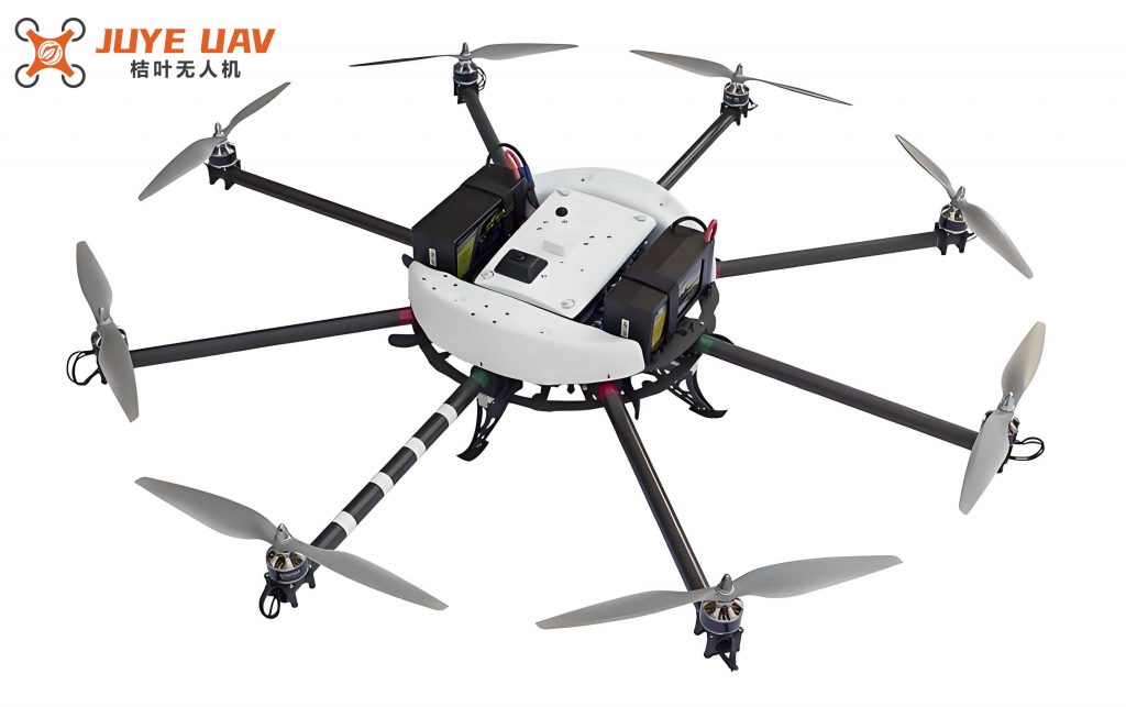
The core of multi-rotor drone technology lies in its ability to perform detailed aerial surveys with minimal human intervention. Unlike fixed-wing drones, multi-rotor drones excel in maneuverability, allowing them to navigate intricate terrains typical of mining sites. A key advantage is their vertical take-off and landing capability, which eliminates the need for runways and facilitates operations in confined spaces. For instance, the DJI Matrice 300 RTK, a widely used multi-rotor drone in mining, features a compact design and robust performance metrics, as summarized in Table 1. This drone can carry various payloads, such as high-resolution cameras and LiDAR sensors, to capture comprehensive data. The integration of Real-Time Kinematic (RTK) or Post-Processed Kinematic (PPK) differential modes enhances positional accuracy, reducing errors to centimeter-level. This precision is vital for applications like volume calculations, where even minor inaccuracies can lead to significant operational discrepancies.
| Parameter | Value |
|---|---|
| Rotor Configuration | Quadcopter or Hexacopter |
| Maximum Flight Time | Up to 65 minutes |
| Payload Capacity | 3.5 kg (including sensors) |
| Operating Speed | 13.5 m/s |
| Wind Resistance | Up to 6 levels on the Beaufort scale |
| Positioning Accuracy | RTK/PPK enabled, ±1-2 cm horizontally |
| Data Transmission Range | Up to 2.7 km in optimal conditions |
The fundamental principle of multi-rotor drone measurement involves photogrammetry and remote sensing techniques. Traditional vertical photography often results in data gaps, especially in complex topographies. To overcome this, multi-rotor drones employ oblique imaging, capturing images from multiple angles to generate dense point clouds. The process can be mathematically represented using photogrammetric equations. For example, the collinearity condition equation, which relates image coordinates to ground coordinates, is expressed as:
$$ x – x_0 = -f \frac{m_{11}(X – X_0) + m_{12}(Y – Y_0) + m_{13}(Z – Z_0)}{m_{31}(X – X_0) + m_{32}(Y – Y_0) + m_{33}(Z – Z_0)} $$
$$ y – y_0 = -f \frac{m_{21}(X – X_0) + m_{22}(Y – Y_0) + m_{23}(Z – Z_0)}{m_{31}(X – X_0) + m_{32}(Y – Y_0) + m_{33}(Z – Z_0)} $$
Here, (x, y) are the image coordinates, (x_0, y_0) are the principal point coordinates, f is the focal length, (X, Y, Z) are the ground coordinates, (X_0, Y_0, Z_0) are the perspective center coordinates, and m_{ij} are the elements of the rotation matrix. By solving these equations for multiple images, accurate 3D models of mining areas can be reconstructed. The multi-rotor drone’s stability and hovering capability are crucial for capturing overlapping images with high overlap rates (e.g., 80% forward and 60% side overlap), which are essential for robust aerial triangulation.
In terms of performance, multi-rotor drones exhibit exceptional reliability and adaptability. Their simple mechanical design, with fewer moving parts compared to fixed-wing counterparts, minimizes maintenance requirements and enhances durability in harsh mining environments. The payload capacity allows for the integration of advanced sensors, such as multispectral cameras for environmental monitoring or thermal imagers for detecting heat anomalies in mine sites. Moreover, the multi-rotor drone’s ability to perform low-altitude flights enables high-resolution data collection, which is instrumental in identifying subtle geological features. For instance, in volume measurement of stockpiles, the drone can quickly generate digital surface models (DSMs) and calculate volumes using the formula:
$$ V = \iint (Z_{\text{surface}} – Z_{\text{base}}) dA $$
where V is the volume, Z_{\text{surface}} is the elevation of the material surface, Z_{\text{base}} is the base elevation, and dA is the differential area element. This approach is far more efficient than traditional ground-based surveys, reducing time and labor costs by over 50%.
The application value of multi-rotor drone technology in mining surveying extends beyond basic data acquisition. It plays a pivotal role in enhancing safety and sustainability. For example, in地质灾害预警, drones can monitor slope stability by analyzing displacement vectors over time. Using time-series analysis, the rate of movement can be quantified as:
$$ \vec{v} = \frac{\Delta \vec{d}}{\Delta t} $$
where \vec{v} is the velocity vector, \Delta \vec{d} is the displacement vector, and \Delta t is the time interval. Early detection of abnormal movements allows for proactive measures, preventing accidents like landslides. Additionally, in environmental monitoring, multi-rotor drones equipped with gas sensors can detect emissions from mining operations, contributing to compliance with environmental regulations. The data collected supports the development of “smart mines” by integrating with geographic information systems (GIS) for real-time decision-making.
Key operational aspects of multi-rotor drone technology include ground control point (GCP) setup and data processing. GCPs are critical for georeferencing aerial imagery and ensuring accuracy. In mining areas, GCPs should be strategically placed to cover the entire survey area, with a density that matches the terrain complexity. For instance, in flat regions, fewer GCPs may suffice, whereas undulating terrains require a higher density. The coordinates of GCPs are typically measured using GNSS receivers with centimeter-level accuracy. The error propagation in GCP-based referencing can be modeled as:
$$ \sigma_{\text{total}} = \sqrt{\sigma_{\text{GCP}}^2 + \sigma_{\text{image}}^2 + \sigma_{\text{processing}}^2} $$
where \sigma_{\text{total}} is the total error, \sigma_{\text{GCP}} is the error from GCP measurement, \sigma_{\text{image}} is the image resolution error, and \sigma_{\text{processing}} is the error introduced during data processing. By minimizing these errors, multi-rotor drone surveys can achieve sub-decimeter accuracy.
Data processing involves several steps, including image matching, bundle adjustment, and 3D reconstruction. Advanced algorithms, such as Structure from Motion (SfM), are employed to generate point clouds. The SfM process optimizes camera parameters and 3D points by minimizing the reprojection error:
$$ E = \sum_{i=1}^{n} \sum_{j=1}^{m} || \mathbf{x}_{ij} – \hat{\mathbf{x}}_{ij}(\mathbf{P}_i, \mathbf{X}_j) ||^2 $$
where E is the total error, \mathbf{x}_{ij} is the observed image point, \hat{\mathbf{x}}_{ij} is the projected point based on camera parameters \mathbf{P}_i and 3D point \mathbf{X}_j, and n and m are the numbers of images and points, respectively. This optimization is computationally intensive but essential for high-quality outputs. The use of multi-rotor drones facilitates this by providing stable image sequences with consistent lighting and overlap.
Aerial triangulation is another crucial element, where oblique imagery from multi-rotor drones enhances the robustness of the solution. By incorporating multiple viewpoints, the geometric strength of the block increases, reducing the impact of occlusions. The mathematical foundation involves solving a system of linear equations derived from the collinearity conditions. For large-scale mining surveys, this process is automated in software like Pix4D or Agisoft Metashape, which leverage the multi-rotor drone’s data to produce accurate orthomosaics and digital elevation models (DEMs).
The workflow for applying multi-rotor drone technology in metal mine geological surveying can be divided into field (external) and office (internal) operations. Field operations begin with comprehensive planning, including flight path design and safety checks. The multi-rotor drone is programmed to follow a predefined route, often in a “M” pattern for area coverage or circular paths for 3D modeling of specific features like pits or stockpiles. During flight, the drone captures images at regular intervals, with parameters set to ensure adequate overlap and resolution. Environmental factors, such as wind speed and illumination, are monitored to maintain data quality. Post-flight, the data is transferred to ground stations for initial validation.
Office operations focus on data processing and analysis. The raw images are imported into specialized software, where they undergo alignment and georeferencing. Point clouds are generated and classified to distinguish between ground and non-ground points. For volume calculations, the difference between successive DSMs is computed to track material movement. In structural geology, fracture patterns are analyzed using algorithms that detect linear features in the imagery. The integration of multi-rotor drone data with other sources, such as satellite imagery or ground sensors, enables comprehensive mine management. For example, the rate of ore extraction can be optimized by correlating drone-derived volume data with production logs.
In conclusion, the adoption of multi-rotor drone measurement technology in mining surveying represents a significant advancement toward efficiency and accuracy. Its flexibility, coupled with advanced data processing capabilities, allows for detailed characterization of mining environments. As technology evolves, the integration of artificial intelligence and machine learning with multi-rotor drone data will further enhance predictive analytics for resource management and risk mitigation. The ongoing development of lighter and more powerful sensors will expand the applications of multi-rotor drones, solidifying their role as indispensable tools in modern mining operations.