In recent years, the application of unmanned aerial vehicles (UAVs) has expanded rapidly across various fields, with target tracking being a common requirement. However, as tracking tasks become more complex, single UAVs often face limitations in endurance and performance, leading to inefficiencies. To address this, we focus on multi-UAV cooperation, specifically using quadcopters due to their vertical take-off and landing, hovering capabilities, and flexibility. In this article, we present a comprehensive flight verification platform based on quadcopters for cooperative tracking, detailing the hardware and software design, and validating the system through experiments. Our goal is to enable multiple quadcopters to collaboratively track a ground target while maintaining a specified distance, leveraging guidance laws that ensure stability and efficiency.
The motivation for this work stems from the need to overcome the constraints of single UAV operations, such as limited battery life and reduced task efficiency in dynamic environments. By employing multiple quadcopters in a coordinated manner, we can enhance tracking accuracy and robustness. We developed a low-cost, scalable platform that integrates off-the-shelf components and open-source software, making it accessible for further research and applications. The core of our approach involves guidance laws that allow quadcopters to maintain a circular formation around a moving target, with each UAV adjusting its position based on shared state information. This not only improves tracking performance but also demonstrates the practical engineering value of quadcopter-based systems.
In the following sections, we describe the problem formulation, including the guidance strategy and mathematical modeling of quadcopters. We then detail the system design, covering both hardware and software modules, and present experimental results that validate our approach. Throughout the article, we emphasize the use of quadcopters for their versatility and cost-effectiveness, and we incorporate formulas and tables to summarize key concepts. The platform’s reliability and ease of use are highlighted, paving the way for future extensions such as multi-UAV formation changes and complex mission scenarios.
Problem Description
Cooperative tracking with quadcopters involves multiple UAVs working together to follow a ground target while maintaining a desired formation. The primary challenge is to design guidance laws that enable each quadcopter to adjust its trajectory based on both the target’s motion and the positions of neighboring UAVs. We assume that the target moves on a nearly flat surface, and the quadcopters operate at a fixed altitude, simplifying the problem to a 2D tracking scenario. This reduces computational complexity while retaining the essential dynamics for effective cooperation.
The guidance strategy centers on having quadcopters orbit the target at a constant radius, distributed evenly around the circle. This requires each UAV to regulate its distance to the target and its angular separation from others. We model the quadcopter as a point mass in 2D space, with its state defined by position, velocity, and heading angle. The target’s motion is known or estimated, and through inter-UAV communication, each quadcopter shares its state to compute cooperative control inputs. This approach ensures that the formation adapts to target movements while minimizing collisions and energy consumption.
To formalize this, let the state vector of a quadcopter be represented as $x = [x, y, \psi, v]^T$, where $x$ and $y$ are the horizontal coordinates, $\psi$ is the heading angle, and $v$ is the speed. The motion model for a quadcopter in 2D can be described by the following equations:
$$ \dot{x} = v \cos(\psi) $$
$$ \dot{y} = v \sin(\psi) $$
$$ \dot{\psi} = u_{\psi} $$
$$ \dot{v} = u_v $$
Here, $u_{\psi}$ and $u_v$ are control inputs for the heading rate and acceleration, respectively. For tracking a ground target, we define the desired distance $\rho_d$ between the quadcopter and the target. The relative distance $\rho$ and its rate of change $\dot{\rho}$ are used in the guidance law to compute the control commands. The target tracking guidance law for a single quadcopter is given by:
$$ u_{\psi} = \begin{cases}
k \frac{\dot{\rho}}{\rho_d} v & \text{if } \rho \geq \rho_d \\
k \frac{\dot{\rho}}{\rho} v & \text{if } \rho < \rho_d
\end{cases} $$
where $k$ is a positive gain. This law ensures that the quadcopter converges to and maintains the desired tracking radius $\rho_d$ by adjusting its heading based on the distance change rate.
For cooperative tracking, we extend this to multiple quadcopters. Consider a formation of $N$ quadcopters, each indexed by $i$. The relative distance between adjacent quadcopters $i$ and $i-1$ is denoted as $r_{i,i-1}$, and the angular separation is $\theta_{i,i-1} = \psi_i – \psi_{i-1}$. The cooperative guidance law incorporates terms to equalize the angular spacing, expressed as:
$$ u_{\psi,i} = k \frac{\dot{\rho}_i}{\rho_d} v_i + k_c \left( r_{i,i-1} – 2\rho_d \sin\left(\frac{\pi}{N}\right) \right) $$
where $k_c$ is a cooperative gain. This law uses Lyapunov stability analysis to prove that the quadcopters will evenly distribute around the target. The control structure integrates both the target tracking and cooperative components, with inputs from onboard sensors and inter-UAV communication. The overall system ensures that all quadcopters respond synergistically to target motions, enhancing the tracking performance.
To illustrate the key parameters and variables, we summarize them in the table below:
| Symbol | Description |
|---|---|
| $\rho$ | Distance from quadcopter to target |
| $\rho_d$ | Desired tracking radius |
| $\dot{\rho}$ | Rate of change of distance |
| $\psi$ | Heading angle of quadcopter |
| $v$ | Speed of quadcopter |
| $u_{\psi}$ | Control input for heading rate |
| $k$ | Gain for tracking guidance |
| $r_{i,i-1}$ | Distance between adjacent quadcopters |
| $\theta_{i,i-1}$ | Angular separation between quadcopters |
| $k_c$ | Gain for cooperative guidance |
This formulation provides a foundation for the system design, where we implement these equations on practical quadcopter platforms. The use of quadcopters allows for real-time computation and communication, making the cooperative tracking feasible in various scenarios.
System Design
We designed a comprehensive flight verification platform using quadcopters to implement the cooperative tracking guidance laws. The system comprises hardware and software modules that work together to enable stable and reliable operation. Each quadcopter is equipped with sensors, a flight controller, communication devices, and an onboard computer, all integrated to execute the guidance algorithms. The platform is built with scalability in mind, allowing for easy addition of more quadcopters or modification of algorithms for other applications.
The hardware selection focuses on cost-effectiveness and performance. We use a DJI F450 frame for its durability and light weight, paired with 9450 self-locking propellers and brushless motors with a kV value of 2212. The power system includes 20A electronic speed controllers and a 5200mAh 3S lithium battery to ensure sufficient flight time. For flight control, we employ a Pixhawk 2.4.8 controller, which integrates various sensors like accelerometers and gyroscopes, and provides a stable platform for attitude and position control. The GPS module is a M8N model, offering accurate location data, while communication is handled by a RadioLink AT9S transmitter and R9DS receiver for manual override and safety. The onboard computer is a Raspberry Pi 3B+, chosen for its compact size and processing capability, which runs the guidance algorithms and manages communication.
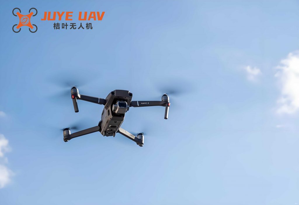
This image shows a typical quadcopter used in our system, highlighting the compact design and component integration. The quadcopter’s ability to hover and maneuver precisely makes it ideal for cooperative tracking tasks.
On the software side, we utilize the Robot Operating System (ROS) for its flexibility and support in robotics applications. The software architecture includes nodes for sensor data processing, guidance law computation, and communication. The Pixhawk flight controller runs the PX4 firmware, which handles low-level control loops for attitude and position, while the Raspberry Pi executes high-level guidance commands. We use MAVROS to bridge ROS and PX4, allowing us to send position and velocity setpoints to the flight controller. For inter-quadcopter communication, we set up a multi-master ROS network where each quadcopter publishes its state and subscribes to others’ states, enabling real-time coordination.
Key software components include VNC for remote access to the Raspberry Pi, QGroundControl for monitoring and safety, and custom ROS nodes for the guidance laws. The guidance algorithms are implemented as ROS nodes that read sensor data, compute control inputs using the formulas described earlier, and publish them to the flight controller. This modular design facilitates testing and modification, as each component can be updated independently. The table below summarizes the main hardware and software modules:
| Module | Component | Description |
|---|---|---|
| Hardware | Frame | DJI F450, 450mm wheelbase |
| Motors and Propellers | Brushless motors with 9450 propellers | |
| Flight Controller | Pixhawk 2.4.8 with integrated sensors | |
| GPS | M8N module for position data | |
| Communication | RadioLink AT9S and R9DS for RC link | |
| Onboard Computer | Raspberry Pi 3B+ for guidance computation | |
| Software | Operating System | ROS Kinetic on Ubuntu 16.04 |
| Flight Control | PX4 firmware for low-level control | |
| Communication | MAVROS for ROS-PX4 integration | |
| Guidance Algorithms | Custom ROS nodes for tracking and cooperation |
The integration of these modules ensures that the quadcopters can perform cooperative tracking autonomously. For instance, the guidance law for a quadcopter is computed as:
$$ u_{\psi} = k \frac{\dot{\rho}}{\rho_d} v + k_c \sum_{j \in \mathcal{N}_i} (r_{ij} – d_{ij}) $$
where $\mathcal{N}_i$ is the set of neighbors, and $d_{ij}$ is the desired distance between quadcopters $i$ and $j$. This equation is implemented in the ROS node, which runs at a high frequency to ensure responsive control. The use of quadcopters in this system allows for efficient testing of guidance laws, as they can be easily deployed and reconfigured.
Experiments and Analysis
We conducted experiments to validate the cooperative tracking system using two quadcopters. The objective was to verify that the quadcopters could track a virtual ground target while maintaining a circular formation with equal spacing. The target moved along a predefined path, and the quadcopters were initialized at different positions. We set the tracking radius $\rho_d$ to 10 meters and the desired height to 3 meters for one quadcopter and 5 meters for the other to avoid collisions. The quadcopters communicated via a ROS network, sharing their positions and velocities to compute the cooperative guidance commands.
The experimental setup involved assigning static IP addresses to each quadcopter and the ground station. One quadcopter acted as the master node in the ROS network, coordinating the communication. We used QGroundControl to monitor the flight and set geofences for safety. The guidance laws were implemented as ROS nodes on the Raspberry Pi, which published control setpoints to the Pixhawk controller via MAVROS. The flight data was logged onboard and analyzed post-flight to assess performance.
The results demonstrated that both quadcopters successfully tracked the target, converging to the desired radius and maintaining it despite target movements. The distance between the quadcopters and the target oscillated around 10 meters, as expected, and the angular separation approached 180 degrees, indicating even distribution. The quadcopters’ speeds varied between 2 m/s and 3 m/s, with adjustments driven by the cooperative guidance law. The table below summarizes key metrics from the experiment:
| Metric | Quadcopter 1 | Quadcopter 2 |
|---|---|---|
| Average Distance to Target | 10.2 m | 9.8 m |
| Speed Range | 1.8–2.5 m/s | 2.0–3.0 m/s |
| Heading Rate Variation | ±0.1 rad/s | ±0.15 rad/s |
| Inter-Quadcopter Distance | Approx. 20 m | |
The stability of the system was evident from the attitude responses; the roll and pitch angles remained within safe limits, ensuring smooth flight. The distance between the two quadcopters stayed close to 20 meters, which is twice the tracking radius, confirming the effectiveness of the cooperative guidance law. The guidance law for quadcopter $i$ can be expressed in terms of the Lyapunov function $V = \frac{1}{2} \sum_i (\rho_i – \rho_d)^2 + \frac{1}{2} \sum_{i,j} (r_{ij} – d_{ij})^2$, whose derivative is negative definite under the control law, proving convergence.
Further analysis of the flight logs showed that the quadcopters adapted to target accelerations, with the cooperative term reducing overshoot and oscillations. For example, when the target changed direction, the quadcopters adjusted their headings collaboratively, minimizing the tracking error. The use of quadcopters enabled real-time computation, and the ROS framework handled communication delays effectively. These results validate the platform’s reliability and the guidance laws’ performance, highlighting the potential for scaling to more quadcopters.
Conclusion
In this work, we developed and validated a cooperative tracking system using quadcopters, focusing on guidance laws that enable multiple UAVs to track a ground target while maintaining a circular formation. The platform combines affordable hardware and open-source software, providing a scalable solution for research and practical applications. Through experiments, we demonstrated that the quadcopters could efficiently cooperate, with stable tracking performance and even distribution around the target. The system’s ease of use and extensibility make it suitable for further investigations, such as incorporating obstacle avoidance or dynamic formation changes.
The key contributions include the integration of guidance laws into a practical quadcopter platform, the design of a robust communication and control architecture, and the experimental validation of cooperative behaviors. The use of quadcopters underscores their advantages in versatility and cost, and the mathematical formulations ensure theoretical soundness. Future work will involve extending the system to more quadcopters, testing in outdoor environments, and exploring advanced guidance strategies. Overall, this platform offers significant engineering value for multi-UAV applications, paving the way for enhanced autonomy and cooperation in complex missions.