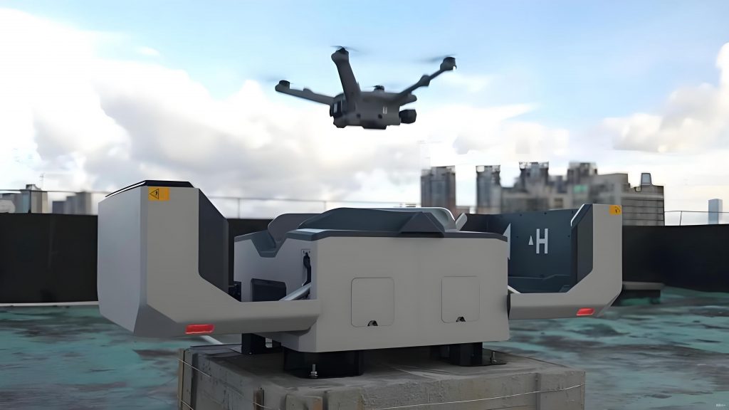
In recent years, the rapid expansion of low-altitude economies, driven by the approval of pilot cities, has fueled a surge in the application of civil drones in urban environments. As a key enabler of the “low-altitude + logistics” sector, civil drones are pushing urban logistics toward scalability and intelligence. However, this growth brings significant challenges, including safety hazards and inefficient use of airspace resources. The civil drone industry, being relatively nascent, lacks mature management frameworks globally, with most regions still in exploratory phases. In this article, I analyze the issues surrounding urban civil drone operations, examine current management practices, and propose recommendations to foster sustainable development. The focus remains on enhancing the safety and efficiency of civil drone activities in densely populated areas.
The proliferation of civil drones in cities introduces multiple safety risks. For instance, collisions with obstacles like buildings, power lines, or other aircraft pose severe threats. A notable incident involved a large civil drone crashing into a structure during testing, resulting in fires and injuries. Additionally, “black flights”—unauthorized operations—frequently disrupt civil aviation, causing flight delays and cancellations. Data from aviation authorities indicate thousands of such interference events annually. Public safety is further compromised when civil drones are used for espionage or privacy invasion, or when malfunctions lead to accidents in crowded areas. These incidents underscore the urgent need for robust oversight of civil drone activities.
From a regulatory perspective, managing civil drones is complex due to the absence of comprehensive systems. The diverse nature of civil drones—varying in size, weight, range, and purpose—complicates classification and tracking. Many civil drones operate without registration, making it difficult to hold users accountable. This regulatory gap highlights the necessity for innovative approaches to monitor and control civil drone operations effectively.
| Category | Typical Weight | Common Uses | Key Challenges |
|---|---|---|---|
| Micro | < 250g | Recreational photography, light shows | Difficult to detect and regulate |
| Light | 250g – 7kg | Hobbyist filming, small-scale deliveries | High risk of interference with aviation |
| Small | 7kg – 25kg | Commercial logistics, surveillance | Requires advanced tracking systems |
| Medium | 25kg – 150kg | Industrial transport, agricultural mapping | Integration with urban infrastructure |
| Large | > 150kg | Heavy cargo, long-range missions | Safety management in congested areas |
To quantify the collision risk of civil drones, consider a probabilistic model where the likelihood of an incident depends on factors like drone density and environmental obstacles. Let \( P_c \) represent the collision probability, which can be expressed as:
$$ P_c = 1 – e^{-\lambda \cdot t \cdot A} $$
Here, \( \lambda \) denotes the encounter rate per unit time, \( t \) is the exposure time, and \( A \) is the effective area of interaction. This formula helps in assessing the safety thresholds for civil drone operations in urban settings. For example, higher densities of civil drones increase \( \lambda \), elevating the overall risk. Such models are essential for designing airspace management strategies that mitigate hazards associated with civil drones.
The current management framework for civil drones involves multiple authorities, including civil aviation agencies and local government departments. This fragmented approach leads to coordination challenges, as information sharing and decision-making processes are often inefficient. Regulations, such as the provisional rules for unmanned aircraft flights, provide a top-level legal structure, but enforcement remains inconsistent. Technical measures for monitoring civil drones include radar, radio frequency monitoring, and AI-based detection systems. However, these technologies are not yet fully integrated, resulting in persistent issues like unauthorized flights.
Moreover, the shortage of specialized personnel for low-altitude air traffic management exacerbates these problems. Existing air traffic controllers are primarily focused on conventional aviation, and diverting their attention to civil drones could compromise safety. As the scale of civil drone operations expands, the demand for dedicated low-altitude management talent will intensify, necessitating targeted training programs.
| Risk Type | Description | Impact Example | Mitigation Strategies |
|---|---|---|---|
| Collision Risk | Civil drones hitting buildings, aircraft, or infrastructure | Property damage and injuries from drone crashes | Enhanced sensing and avoidance systems |
| Black Flight Risk | Unauthorized operations interfering with aviation | Flight delays and cancellations due to drone intrusions | Strict registration and real-time monitoring |
| Public Safety Risk | Privacy breaches or accidents in crowded zones | Injuries from falling drones or malicious use | Public awareness campaigns and geofencing |
To address these challenges, I propose several recommendations. First, developing integrated low-altitude air traffic management platforms is crucial. These systems should leverage technologies like cloud-edge coordination, 5G-A sensing, AI models, and digital twins to enable real-time tracking and control of civil drones. For instance, a platform could use the following capacity assessment formula to optimize airspace utilization:
$$ C = \frac{A_{\text{total}} \cdot \rho_{\text{max}}}{\tau \cdot d} $$
In this equation, \( C \) represents the maximum number of civil drones in a given airspace, \( A_{\text{total}} \) is the total area, \( \rho_{\text{max}} \) is the peak density, \( \tau \) is the average transit time, and \( d \) is the safety separation distance. By applying such models, cities can better manage the flow of civil drones and prevent congestion.
Second, fostering talent development for low-altitude management is imperative. Unlike traditional aviation, civil drone operations are characterized by their small-scale, dispersed, and隐蔽 nature, requiring specialized skills. Educational institutions should design curricula that cover areas like route planning, risk assessment, and emergency response for civil drones. This will help build a workforce capable of handling the unique demands of urban low-altitude airspace.
Third, exploring advanced technical means for civil drone air traffic control is essential. Integrating北斗 short-message communication, blockchain for data integrity, and big data analytics can enhance the reliability of监管 platforms. For example, conflict resolution algorithms can be modeled using optimization techniques. Consider a scenario where multiple civil drones need to avoid collisions; the problem can be formulated as:
$$ \min \sum_{i=1}^{n} (x_i – x_{\text{target}})^2 + (y_i – y_{\text{target}})^2 $$
subject to:
$$ \sqrt{(x_i – x_j)^2 + (y_i – y_j)^2} \geq d_{\text{safe}} \quad \forall i \neq j $$
Here, \( (x_i, y_i) \) denotes the position of the i-th civil drone, \( (x_{\text{target}}, y_{\text{target}}) \) is its destination, and \( d_{\text{safe}} \) is the minimum safe distance. Such formulations enable autonomous navigation and reduce the reliance on manual intervention for civil drone management.
Lastly, clarifying the responsibility for urban civil drone management is vital. Although regulations exist, the multi-agency oversight often leads to inefficiencies. I recommend establishing dedicated administrative and enforcement bodies at the city level to streamline processes. This would ensure quicker responses to incidents involving civil drones and improve overall coordination.
In conclusion, the rise of civil drones in urban low-altitude spaces presents both opportunities and challenges. Through the implementation of integrated platforms, talent development, technological innovation, and clear governance, we can promote the healthy growth of the civil drone industry. Continuous efforts in these areas will contribute to the sustainable development of low-altitude economies, ensuring that civil drones become a safe and efficient component of urban transportation systems.
| Measure | Key Actions | Expected Outcomes |
|---|---|---|
| Platform Construction | Deploy integrated systems with AI and real-time data | Improved detection of unauthorized civil drone flights |
| Talent Cultivation | Develop specialized training programs | Increased expertise in low-altitude civil drone management |
| Technology Exploration | Incorporate北斗, blockchain, and digital twins | Enhanced reliability and safety for civil drone operations |
| Governance Clarification | Establish city-level authorities | Streamlined regulation and faster incident response |
As we move forward, it is imperative to continuously adapt these strategies to the evolving landscape of civil drone technologies. By prioritizing safety and efficiency, we can harness the full potential of civil drones while minimizing their risks.