In contemporary construction projects, the increasing scale and complexity of sites have rendered traditional surveying methods inadequate for meeting the demands of efficiency, accuracy, and timeliness. As a project engineer, I have observed that conventional techniques, such as manual measurement and static modeling, often fail to capture dynamic terrain changes, particularly in large earthwork operations like embankments, backfills, and foundation works. These limitations necessitate innovative approaches, and the integration of civil drone oblique photography with Building Information Modeling (BIM) has emerged as a transformative solution. This combination leverages the high-resolution, geospatial data acquired by civil drones to create detailed 3D models, which are then fused with BIM for comprehensive project management. By utilizing consumer-grade civil drones, this method offers a cost-effective and scalable alternative to industrial systems, enabling real-time monitoring and precise quantification of construction activities.
The core of this approach lies in oblique photography technology, which involves capturing imagery from multiple angles—typically one vertical and four oblique directions—to generate dense point clouds and textured 3D models. Unlike industrial drones with fixed multi-camera setups, consumer-grade civil drones accomplish this by executing separate flight paths for each angle, thus adapting to the constrained budgets and timelines of typical construction projects. For instance, in earthwork calculations, the derived models allow for accurate volume measurements through software-based analysis, eliminating the need for repetitive field surveys. The integration with BIM facilitates a seamless workflow where geographic information system (GIS) data from civil drone surveys enriches the digital representation of the site, enabling better planning, collision detection, and resource allocation. This synergy not only enhances operational efficiency but also reduces costs by minimizing errors and rework.
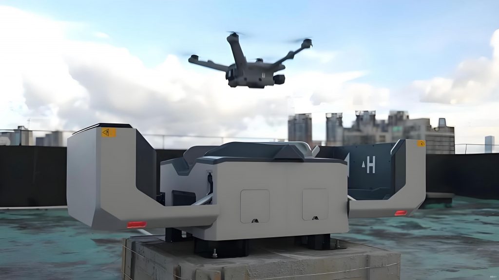
To elaborate on the technical process, the workflow begins with data acquisition using a consumer-grade civil drone, such as those from DJI, equipped with a high-resolution camera. Key parameters, including flight altitude, overlap rates, and camera tilt, are configured to ensure optimal data quality. The overlap rates—both lateral and longitudinal—are critical for model accuracy; typically, values above 75% are recommended to balance detail and processing time. The flight planning software, like Altizure, automates the capture process, ensuring comprehensive coverage of the site. During this phase, the civil drone follows pre-defined paths, capturing geotagged images that embed GPS coordinates and orientation data. This step is repeated across different phases of construction to monitor progress and update models dynamically.
Once the imagery is collected, it is processed using specialized software such as ContextCapture, which performs photogrammetric computations to generate a high-fidelity 3D model. This involves aerial triangulation, where the images are aligned to produce a point cloud, followed by mesh generation and texture mapping. The resulting model accurately represents the site’s topography, including features like stockpiles, slopes, and excavations. For integration with BIM, this GIS-derived model is imported into platforms like Autodesk Revit, where it serves as a reference for aligning virtual designs with real-world conditions. This fusion enables applications such as site layout optimization, where the combined model identifies ideal locations for material storage and machinery placement, reducing secondary transportation and improving safety.
A significant advantage of using civil drone oblique photography is in earthwork volume calculation. Traditional methods, like the grid or cross-section approaches, often involve approximations that lead to inaccuracies, especially in irregular terrains. In contrast, the 3D models from civil drones allow for precise computations using digital surface models (DSMs). The volume V of earthwork can be calculated using the formula:
$$ V = \sum_{i=1}^{n} A_i \cdot \Delta h_i $$
where \( A_i \) represents the area of each grid cell in the model, and \( \Delta h_i \) denotes the height difference between the actual surface and a reference plane. This method, implemented in software like Acute3D Viewer, samples the model at specified intervals to compute cumulative volumes, providing real-time data for project tracking. For example, in a large earthmoving operation, this approach can reduce measurement errors to less than 1%, compared to 5–10% with conventional techniques.
The equipment required for this methodology is outlined in the table below, emphasizing the accessibility of consumer-grade civil drones:
| Item | Specification | Purpose |
|---|---|---|
| Civil Drone (e.g., DJI Phantom) | 1 unit | Aerial data capture |
| High-Resolution Camera | 1 unit | Image acquisition |
| Battery Packs and Charger | 6 sets | Extended flight endurance |
| Tablet with Control Software | 1 unit | Flight planning and monitoring |
| High-Performance Workstation | 1 unit | Data processing and model generation |
In terms of operational parameters, the following table summarizes key settings for civil drone flights to ensure model quality:
| Parameter | Recommended Value | Impact on Output |
|---|---|---|
| Flight Altitude | 50–100 m | Balances detail and coverage |
| Overlap Rate (Lateral) | >75% | Enhances point cloud density |
| Overlap Rate (Longitudinal) | >75% | Improves model accuracy |
| Camera Tilt Angle | 45° | Captures oblique perspectives |
| Image Capture Interval | 2 seconds | Ensures continuous coverage |
Quality control is paramount in this process, adhering to standards such as the Engineering Surveying Code and BIM application guidelines. The accuracy of models generated by civil drone oblique photography can be validated through comparative measurements. For instance, the error \( E \) between the model-derived distance and a ground-truth value can be expressed as:
$$ E = \left| \frac{D_m – D_a}{D_a} \right| \times 100\% $$
where \( D_m \) is the measured distance in the model, and \( D_a \) is the actual distance from traditional surveys. In practice, errors of less than 0.05% have been achieved, demonstrating the reliability of civil drone-based models for construction applications.
The economic benefits of employing civil drone technology are substantial. Compared to industrial-grade systems, consumer-level civil drones reduce costs by approximately 90%, as illustrated in the cost comparison table below:
| Method | Cost per Project (USD) | Remarks |
|---|---|---|
| Industrial Drone Survey | 38,000 | High initial investment |
| Civil Drone Survey | 3,800 | Cost-effective and scalable |
| Traditional Survey | 5,000 (per km²) | Labor-intensive and time-consuming |
Moreover, the reusability of civil drone models across project phases—such as excavation, filling, and finishing—further amplifies savings by eliminating redundant surveys. For example, in earthwork monitoring, the ability to adjust elevation data digitally allows for rapid recalculations without additional field visits. This flexibility is crucial in dynamic environments where terrain changes frequently.
From a practical perspective, the integration of civil drone data with BIM enhances site management through visualizations and simulations. Using tools like Lumion or 3ds Max, combined models create immersive walkthroughs that aid in stakeholder communication and on-site training. These applications not only improve decision-making but also mitigate risks by identifying potential clashes between design and actual conditions. In one instance, this approach helped optimize the layout of temporary roads and storage areas, reducing material handling time by 20%.
In conclusion, the fusion of civil drone oblique photography with BIM represents a paradigm shift in construction methodology. By harnessing the power of consumer-grade civil drones, projects achieve unprecedented levels of accuracy, efficiency, and cost-effectiveness. The iterative nature of this technology allows for continuous updates, ensuring that models remain aligned with site developments. As civil drone capabilities advance, their integration with digital twins and IoT systems will further revolutionize the industry, enabling predictive analytics and autonomous operations. This evolution underscores the importance of adopting such innovations to address the growing demands of modern infrastructure projects.