In recent years, the use of civil drones for logistics has expanded rapidly, particularly in the transportation of medical supplies. As an efficient and flexible solution, civil drones offer significant advantages in scenarios requiring “small-batch, high-frequency” deliveries. However, the unique properties of biological samples introduce additional safety risks that must be carefully evaluated. This study focuses on developing a comprehensive risk assessment methodology for civil drone operations involving biological samples, addressing hazards across pre-flight, in-flight, and post-flight phases. By leveraging quantitative models and real-world case analyses, I aim to provide operators with a framework to achieve compliance with regulatory requirements and ensure safe operations.
The growing adoption of civil drones in healthcare logistics, such as transporting blood samples, vaccines, and diagnostic materials, underscores the need for robust risk management. International bodies like the International Civil Aviation Organization (ICAO) have highlighted that traditional dangerous goods regulations may not fully apply to civil drone operations, necessitating tailored risk assessments. Similarly, the Federal Aviation Administration (FAA) has proposed rules requiring operators to conduct risk evaluations for hazardous materials transport. In this context, I explore how civil drone operators can identify, quantify, and mitigate risks associated with biological sample transportation, with an emphasis on ground population safety and infection control.
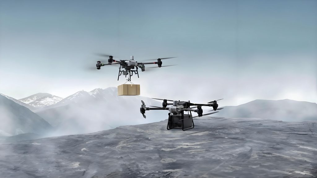
Civil drone operations for biological samples typically follow a hub-and-spoke model, where central hospitals or testing centers serve multiple peripheral health clinics. This approach enables rapid sample delivery and resource sharing, but it also introduces specific risks related to drone reliability, environmental factors, and human factors. Below, I summarize key operational characteristics based on industry data, which illustrate the scale and scope of civil drone usage in this domain.
| Operator Type | Drone Model | Payload Capacity | Range | Operational Scale |
|---|---|---|---|---|
| Commercial | Multi-rotor | Up to 4 kg | 18 km | Over 30,000 samples daily |
| Commercial | Multi-rotor | Up to 10 kg | 20 km | Millions of samples cumulatively |
Hazard identification is a critical step in assessing risks for civil drone transport. I categorize hazards into three phases: pre-flight, in-flight, and post-flight. In the pre-flight phase, human errors during cargo handling, inspection, and loading can lead to sample damage or contamination. For instance, improper packaging or fixation may cause samples to fall during ground operations, posing infection risks to personnel. During in-flight operations, failures in the attachment mechanism or drone control systems can result in package detachment or crash landings. Such events may expose ground populations to physical injury or biological hazards if samples leak. Post-flight hazards include mishandling during unloading, which could similarly lead to sample damage or exposure. The consequences range from economic losses due to sample spoilage to severe outcomes like infections or fatalities among third-party individuals on the ground.
To quantify these risks, I developed a model that calculates the probability of fatalities and infections among ground third parties. The core equations incorporate parameters such as population density, package integrity, and drone failure rates. For example, the fatality probability per hour, denoted as \( P_{fa} \), is given by:
$$ P_{fa} = P_{load} \cdot Pop \cdot P_{im} $$
where \( P_{load} \) is the probability of package detachment due to attachment failure (per hour), \( Pop \) is the number of people in the affected area, and \( P_{im} \) is the probability of lethality upon impact (assumed to be 1 in worst-case scenarios). The population exposure \( Pop \) is derived from:
$$ Pop = \rho \cdot A_c \cdot F $$
Here, \( \rho \) represents the population density (people per square kilometer), \( A_c \) is the ground impact area (square kilometers), and \( F \) is a sheltering factor (1 for unshielded areas). Similarly, the infection probability per hour, \( P_{bs} \), accounts for sample leakage and contact:
$$ P_{bs} = P_{load} \cdot P_b \cdot P_T \cdot P_{in} $$
In this equation, \( P_b \) is the probability of package damage upon impact, \( P_T \) is the number of people contacting the sample, and \( P_{in} \) is the infection probability per contact. The parameter \( P_T \) depends on the number of samples \( N \), the dispersal area \( A \), and the population within that area \( Pop_{fa} \):
$$ A = \pi \cdot (h \cdot \tan \theta)^2 $$
where \( h \) is the flight altitude and \( \theta \) is the maximum pitch angle upon impact. Then,
$$ Pop_{fa} = \rho \cdot A \cdot F $$
and
$$ P = 1 – (1 – P_d)^{Pop_{fa}} $$
where \( P_d \) is the probability that a single sample is discovered and picked up. Thus,
$$ P_T = N \cdot P $$
These formulas enable a systematic evaluation of risks for civil drone operations, allowing operators to identify critical control points.
To illustrate the application of this methodology, I present a case study involving a typical civil drone mission. The drone is a multi-rotor model operating in urban low-altitude airspace along fixed routes. Key parameters are summarized in the table below, which includes data on packaging, drone specifications, attachment reliability, and sample properties. This case assumes no parachutes are installed on the drone or package, and the mean time between failures (MTBF) for the attachment mechanism is 10,000 hours, yielding a failure probability \( P_{load} \) of approximately \( 10^{-4} \) per hour.
| Parameter Category | Symbol | Value | Unit |
|---|---|---|---|
| Package Placement | — | External, underbelly | — |
| Max Package Size | — | 1 | m |
| Max Package Mass | — | 1 | kg |
| Package Damage Probability | \( P_b \) | \( 10^{-3} \) | — |
| Drone Type | — | Multi-rotor | — |
| Max Flight Altitude | \( h \) | 120 | m |
| Max Cruise Speed | — | 35 | km/h |
| Ground Population Density | \( \rho \) | 500 | people/km² |
| Sheltering Factor | \( F \) | 1 | — |
| Attachment MTBF | — | 10,000 | hours |
| Infection Probability per Contact | \( P_{in} \) | \( 10^{-2} \) | — |
| Number of Samples | \( N \) | 20 | — |
| Sample Discovery Probability | \( P_d \) | \( 10^{-1} \) | — |
Using these values, I calculate the ground impact area \( A_c \) as approximately 5 m² based on drone speed and altitude. From equation (2), \( Pop = 500 \times 5 \times 10^{-6} \times 1 = 2.5 \times 10^{-3} \) people. Substituting into equation (1), the fatality probability \( P_{fa} = 10^{-4} \times 2.5 \times 10^{-3} \times 1 = 2.5 \times 10^{-7} \) people per hour. For infection risk, the dispersal area \( A \) is computed as \( \pi \times (120 \times \tan 45^\circ)^2 \approx 45,239 \) m², giving \( Pop_{fa} = 500 \times 45,239 \times 10^{-6} \times 1 \approx 22.6 \) people. Then, \( P = 1 – (1 – 0.1)^{22.6} \approx 0.9 \), so \( P_T = 20 \times 0.9 = 18 \) people. Thus, \( P_{bs} = 10^{-4} \times 10^{-3} \times 18 \times 10^{-2} = 1.8 \times 10^{-8} \) people per hour. If safety targets are set at \( 10^{-6} \) for fatalities and \( 10^{-9} \) for infections, the fatality risk is acceptable, but the infection risk exceeds the target, indicating a need for mitigation.
This assessment can be extended to other hazards, such as loss of control. Assuming a control failure probability of \( 10^{-4} \) per hour and a larger impact area of 140 m², the fatality probability becomes \( P_{fa} = 10^{-4} \times 500 \times 140 \times 10^{-6} \times 1 = 7 \times 10^{-6} \) people per hour, and the infection probability remains similar. Both values may surpass safety targets, necessitating additional controls. The table below summarizes these results, highlighting the importance of comprehensive risk management for civil drone operations.
| Hazard Type | Probability (/h) | Fatality Probability (people/h) | Infection Probability (people/h) |
|---|---|---|---|
| Attachment Failure | \( 10^{-4} \) | \( 2.5 \times 10^{-7} \) | \( 1.8 \times 10^{-8} \) |
| Loss of Control | \( 10^{-4} \) | \( 7 \times 10^{-6} \) | \( 1.8 \times 10^{-8} \) |
Based on this analysis, I recommend several risk mitigation strategies for civil drone operators transporting biological samples. These measures address human factors, technical reliability, operational restrictions, and emergency preparedness. First, standardized operating procedures should be developed and validated, covering all phases from cargo handling to flight operations. Training programs must ensure personnel competency, with regular assessments to maintain performance. Second, attachment mechanisms must be designed and tested for high reliability, with clear maintenance protocols integrated into operational manuals. Third, flight routes should be planned to minimize ground population exposure, using population density thresholds to define acceptable operating areas. Fourth, packaging standards must align with flight altitudes and impact scenarios, requiring rigorous testing to verify integrity. Finally, emergency response plans should be established, involving coordination with authorities like air traffic control and public health agencies, and regularly tested through drills.
In conclusion, the risk assessment methodology presented here provides a practical framework for civil drone operators to manage biological sample transport risks. By applying quantitative models and case-specific analyses, operators can identify critical hazards, evaluate risk levels, and implement targeted mitigations. As the use of civil drones in healthcare logistics grows, continuous refinement of these approaches will be essential to ensure safety and regulatory compliance. Future work could explore advanced technologies, such as enhanced attachment systems or real-time risk monitoring, to further improve the safety of civil drone operations.