In recent years, the rapid advancement of unmanned aerial vehicle (UAV) technology has revolutionized the field of geomatics and spatial information. As a leading manufacturer, DJI has introduced various models, including the DJI Phantom4 RTK, which integrates high-precision positioning systems and sophisticated cameras, making it a popular choice for aerial surveying and mapping. The DJI drone series, such as the DJI FPV, also demonstrates the versatility of UAVs in capturing dynamic data. This study focuses on analyzing the accuracy of orthophoto maps generated from DJI UAV data processed with Pix4Dmapper software, a powerful tool for photogrammetric processing. By examining different flight modes and the impact of ground control points (GCPs), I aim to evaluate the feasibility of producing high-accuracy orthophotos and topographic maps without extensive field control, thereby optimizing efficiency in applications like urban planning, environmental monitoring, and infrastructure development.
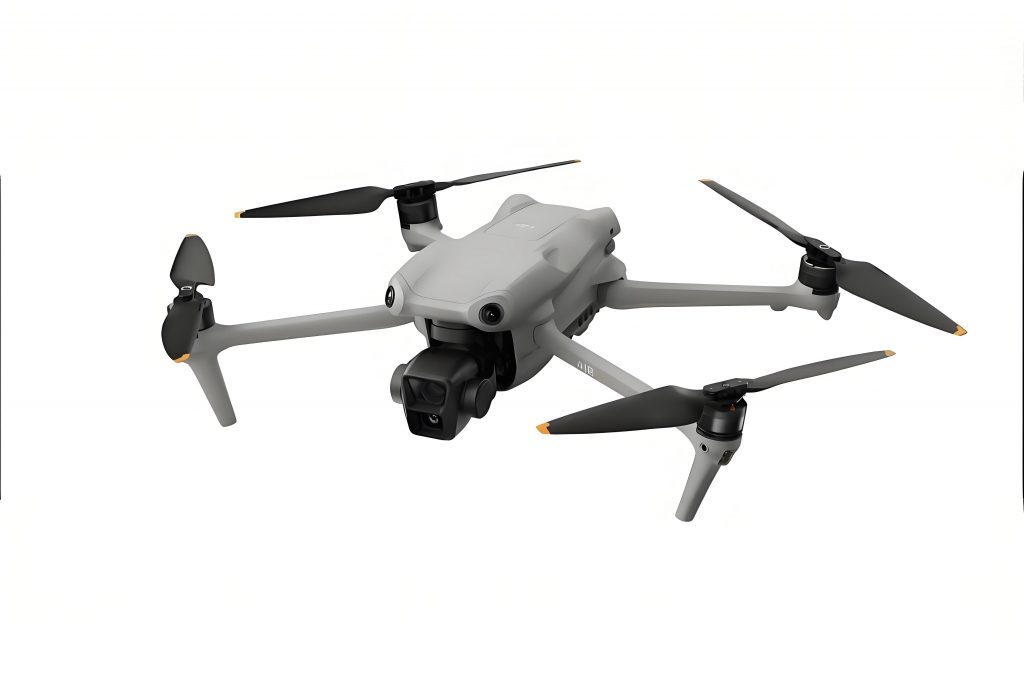
The DJI UAV, particularly the Phantom4 RTK, is equipped with a built-in D-RTK module that provides centimeter-level positioning accuracy. This DJI drone features a single-lens camera capable of capturing 4K videos and 20-megapixel images, ensuring high-resolution data acquisition. The integration of OSUSYNC technology enhances image transmission stability, which is crucial for precise mapping. In this analysis, I utilized the Pix4Dmapper software to process aerial images, as it supports automatic aerial triangulation, point cloud generation, and the production of digital orthophoto maps (DOMs) and digital surface models (DSMs) without requiring initial IMU data. The software’s ability to handle data from various flight heights and camera types makes it ideal for comparing different DJI UAV configurations.
For this experiment, I selected a relatively flat area with minimal obstructions, such as high-rise buildings, to minimize errors related to occlusion and shadowing. The DJI Phantom4 RTK was deployed in two distinct flight modes: the 2D orthophoto mode and the 3D oblique photography mode. The 2D mode is designed for efficient orthophoto production, while the 3D mode captures images from multiple angles, enabling the creation of detailed 3D models. The flight parameters were set based on the ground sampling distance (GSD) formula, which is fundamental for determining image resolution. The GSD is calculated as follows: $$GSD = \frac{H}{36.5}$$ where GSD is the ground resolution in cm per pixel, and H is the relative flight height in meters. For instance, at a flight height of 50 meters, the GSD is approximately 1.37 cm/pixel, meaning that each pixel represents about 1.37 cm on the ground. This high resolution is advantageous for accurate feature extraction but also implies that manual GCP identification could introduce errors of a similar magnitude if not performed precisely.
During the data acquisition phase, I conducted two flights over the same area. In the first flight, using the 2D orthophoto mode, I set the relative altitude to 50 meters, with an 80% forward overlap and 70% side overlap. This configuration resulted in 123 images captured over a 5-minute flight duration. The second flight employed the 3D oblique mode with the same altitude but increased overlaps of 80% forward and 80% side, producing 337 images over 15 minutes. To assess accuracy, I established four GCPs around the perimeter of the study area and collected 38 check points using a Trimble R10 GPS receiver in network RTK mode. These check points, located at clearly identifiable features like parking lot lines and road markings, served as reference for both planar and elevation accuracy validation.
The internal processing with Pix4Dmapper involved four sequential computations to compare the effects of GCPs and flight modes. Each computation followed a three-step workflow: initial processing for image alignment and coordinate system unification, point cloud and mesh generation through feature matching and bundle adjustment, and finally, DOM and DSM production via triangulation and texture mapping. The first computation used the 2D flight mode data without GCPs, completing in about 50 minutes. The second computation also used 2D data but incorporated GCPs during the initialization phase for re-optimization, taking 63 minutes. The third computation processed the 3D mode data without GCPs, requiring 2 hours and 55 minutes, while the fourth used 3D data with GCPs, lasting 3 hours and 12 minutes. All outputs were generated in a local coordinate system to maintain consistency.
To evaluate the accuracy, I compared the coordinates and elevations from the generated DOMs and DSMs with the field-measured check points. The planar accuracy was assessed by calculating the differences in X and Y coordinates, while elevation accuracy was derived from the DSM values extracted using spatial analysis tools in ArcGIS. The error metrics, including mean errors and standard deviations, were computed using the following formulas: the mean planar error ΔS is given by $$\Delta S = \frac{\sum_{i=1}^{n} \sqrt{(X_{i, \text{check}} – X_{i, \text{model}})^2 + (Y_{i, \text{check}} – Y_{i, \text{model}})^2}}{n}$$ and the mean elevation error ΔH is $$\Delta H = \frac{\sum_{i=1}^{n} |H_{i, \text{check}} – H_{i, \text{model}}|}{n}$$ where n is the number of check points. The standard deviations for planar (MS) and elevation (MH) errors are calculated as $$MS = \pm \sqrt{\frac{\sum_{i=1}^{n} (\Delta S_i – \overline{\Delta S})^2}{2n}}$$ and $$MH = \pm \sqrt{\frac{\sum_{i=1}^{n} (\Delta H_i – \overline{\Delta H})^2}{2n}}$$ respectively. These formulas ensure a robust assessment of the DJI UAV’s performance in orthophoto generation.
The results from the four computations are summarized in the tables below. Table 1 presents a subset of the accuracy comparisons for the first computation (2D mode without GCPs), illustrating the differences between the check points and the model outputs. Table 2 provides a comprehensive overview of the average errors and standard deviations across all computations, highlighting the impact of GCPs and flight modes on accuracy.
| Check Point X (m) | Check Point Y (m) | Check Point H (m) | Model X (m) | Model Y (m) | Model H (m) | ΔS (cm) | |ΔH| (cm) |
|---|---|---|---|---|---|---|---|
| 12345.678 | 98765.432 | 2.453 | 12345.712 | 98765.419 | 2.460 | 3.7 | 0.7 |
| 12345.234 | 98765.123 | 2.382 | 12345.267 | 98765.098 | 2.378 | 3.1 | 0.4 |
| 12345.567 | 98765.789 | 2.335 | 12345.601 | 98765.801 | 2.354 | 3.0 | 1.9 |
| 12345.890 | 98765.012 | 2.347 | 12345.925 | 98764.995 | 2.329 | 2.5 | 1.8 |
| 12346.111 | 98765.345 | 2.348 | 12346.156 | 98765.367 | 2.350 | 4.9 | 0.2 |
As shown in Table 1, the planar errors (ΔS) range from 2.5 cm to 4.9 cm, with elevation errors (|ΔH|) between 0.2 cm and 1.9 cm, indicating high accuracy even without GCPs. This demonstrates the capability of the DJI drone to produce reliable orthophotos in 2D mode. The comprehensive results in Table 2 further compare the four computations, revealing that incorporating GCPs did not significantly improve accuracy and, in some cases, slightly increased errors due to manual pointing inaccuracies at high resolutions.
| Computation | Mean ΔS (cm) | Mean |ΔH| (cm) | MS Standard Deviation (cm) | MH Standard Deviation (cm) |
|---|---|---|---|---|
| 2D Mode Without GCPs | 3.6 | 0.9 | 1.3 | 0.7 |
| 2D Mode With GCPs | 3.9 | 1.5 | 1.4 | 0.9 |
| 3D Mode Without GCPs | 3.7 | 0.7 | 1.2 | 0.5 |
| 3D Mode With GCPs | 3.7 | 3.0 | 1.4 | 1.2 |
The analysis of Table 2 indicates that the 2D orthophoto mode without GCPs achieved the lowest mean elevation error (0.9 cm) and relatively low planar error (3.6 cm), suggesting that for low-altitude flights, GCPs may not be necessary and could even introduce minor errors due to human factors. Similarly, the 3D mode without GCPs performed well, with a mean elevation error of 0.7 cm, but it required significantly more flight and processing time. The DJI UAV’s efficiency in 2D mode is evident, as it reduces operational time while maintaining accuracy. Furthermore, the standard deviations remain consistent across computations, underscoring the reliability of the DJI drone’s RTK system and Pix4Dmapper’s processing algorithms.
In discussing these findings, it is important to consider the role of flight parameters and environmental conditions. The high overlap settings in both modes ensured sufficient image matching, which is critical for accurate bundle adjustment. The formula for overlap efficiency can be expressed as $$O_e = \frac{O_f \times O_s}{100}$$ where O_e is the effective overlap, O_f is the forward overlap percentage, and O_s is the side overlap percentage. For the 2D mode, O_e = 0.8 × 0.7 = 0.56, while for the 3D mode, O_e = 0.8 × 0.8 = 0.64, contributing to better point cloud density in the latter. However, the marginal gain in accuracy does not justify the increased resource consumption for orthophoto production alone. The DJI FPV and other advanced DJI UAV models could benefit from similar analyses, as their agility might enhance data collection in complex terrains.
The impact of GCPs is particularly noteworthy; at low flight heights with high-resolution imagery, manual identification of GCPs can lead to errors comparable to the GSD. This is quantified by the error propagation formula $$\sigma_{\text{total}} = \sqrt{\sigma_{\text{GCP}}^2 + \sigma_{\text{model}}^2}$$ where σ_GCP is the error from GCP pointing and σ_model is the inherent model error. Given that σ_GCP can be around 1-2 cm for a GSD of 1.37 cm/pixel, the total error might increase slightly when GCPs are used, as observed in the computations with GCPs. Therefore, for projects requiring rapid turnaround, such as emergency response or large-scale mapping, the DJI UAV in 2D mode without GCPs offers a practical solution.
In conclusion, this accuracy analysis demonstrates that the DJI Phantom4 RTK, when processed with Pix4Dmapper software, can achieve centimeter-level precision in orthophoto generation without the need for GCPs in low-altitude 2D flights. The DJI drone’s integrated RTK system and efficient data processing pipeline make it suitable for producing topographic maps and orthophotos that meet the standards for 1:500 scale mapping. The comparison between 2D and 3D modes highlights the trade-offs between accuracy and efficiency, with the 2D mode being more time-effective for orthophoto-specific applications. Future work could explore the performance of other DJI UAV models, such as the DJI FPV, in varied environments to further optimize UAV-based surveying methodologies. This approach not only enhances operational efficiency but also expands the potential of DJI UAVs in transformative fields like smart city development and disaster management.