
China UAV drones have become an essential tool for modern bridge inspection, yet autonomous path planning in complex bridge environments remains a formidable challenge due to dense obstacles, narrow feasible regions, and stringent safety constraints. In this work, we present a novel trajectory planning framework that integrates lightweight building information modeling (BIM) semantic filtering with an enhanced metaheuristic algorithm named LSS-ALA (Latin Hypercube Sampling and Sparrow Search based Artificial Lemming Algorithm). The proposed method first extracts key structural components from BIM models through IFC-based semantic filtering, then constructs a safe observation space by extrapolating surface normals outward, effectively converting high-dimensional obstacle avoidance into static boundary constraints. The LSS-ALA algorithm improves upon the standard Artificial Lemming Algorithm by employing Latin Hypercube Sampling for uniform population initialization, incorporating a sparrow search alert mechanism to escape local optima, and applying a nonlinear adaptive weight strategy to balance exploration and exploitation. A cubic B-spline interpolation is used to generate smooth, dynamically feasible trajectories. Comprehensive experiments on the CEC2022 benchmark suite and a realistic long-span cable-stayed bridge model demonstrate that LSS-ALA achieves superior convergence accuracy, robustness, and path smoothness compared to state-of-the-art optimizers including CPO, TLCO, GWO, SABO, and the baseline ALA. The proposed method significantly reduces the shortest safe path length by 17.2% over GWO and decreases cumulative turning angle by 27.6% over SABO, with a standard deviation as low as 21.36 across multiple runs, showcasing its effectiveness and reliability for autonomous bridge inspection missions of China UAV drones.
This paper is organized as follows: Section 2 details the lightweight BIM modeling and safe observation space construction. Section 3 formulates the multidimensional inspection constraints. Section 4 presents the proposed LSS-ALA algorithm with its key improvements. Section 5 reports the experimental setup, benchmark results, and bridge simulation outcomes. Section 6 concludes the work.
1. Lightweight BIM Semantic Modeling for Safe Observation Space
Modern bridge information models contain dense internal structures such as rebar networks and pipelines. Direct mesh generation from raw BIM data leads to millions of triangular facets, imposing prohibitive computational overhead for real-time path planning. To address this, we propose a two-step preprocessing pipeline that combines negative elimination and positive retention based on the industry foundation classes (IFC) 4×3 standard. We retain load-bearing components such as towers (IfcColumn), main girders (IfcBeam), and cables (IfcCableSegment), while non‑structural elements (railings, lighting fixtures, drainage pipes) are removed via Boolean difference operations. The model export resolution is set to 5 mm to preserve curved surfaces without over‑simplification. Each component type is exported as an independent STL file, achieving decoupling between geometric shape and semantic attributes.
Table 1 compares the computational resources required for the original full BIM model versus the lightweight model. The lightweight process reduces geometric facets by 96.5%, single‑collision‑detection time from 145.2 ms to 4.8 ms, and total algorithm runtime by approximately 25 times. This demonstrates that our lightweight method is a prerequisite for real‑time onboard computation on China UAV drones.
| Metric | Original Full BIM | Lightweight BIM (Proposed) | Reduction |
|---|---|---|---|
| Number of triangular facets | 2,350,000 | 82,250 | 96.5% |
| Single collision detection time (ms) | 145.2 | 4.8 | 96.7% |
| Total optimization runtime (s) | 125.4 | 5.1 | 95.9% |
| Memory usage (MB) | 320 | 18 | 94.4% |
After lightweight extraction, we construct the safe observation space by extrapolating the surface normal vectors of each component. The safe observation point coordinates are generated as:
$$
P_{\text{obs}} = P_{\text{surf}} + n \cdot d_{\text{safe}}
$$
where \(P_{\text{surf}}\) is a feature point on the component surface, \(n\) is the outward unit normal at that point, and \(d_{\text{safe}}\) is the preset safe inspection distance. This distance accounts for the drone’s physical dimensions and flight uncertainties:
$$
d_{\text{safe}} = R_{\text{uav}} + \delta_{\text{gps}} + \sigma_{\text{wind}} + d_{\text{buffer}}
$$
where \(R_{\text{uav}} = 0.45\,\text{m}\) (rotor radius), \(\delta_{\text{gps}} = 0.1\,\text{m}\) (RTK positioning error), \(\sigma_{\text{wind}} = 0.45\,\text{m}\) (gust‑disturbance margin), and \(d_{\text{buffer}} = 1.0\,\text{m}\) (sensor blind zone). Hence \(d_{\text{safe}} = 2.0\,\text{m}\). The inspection space is partitioned into obstacle region \(\Omega_{\text{obs}}\), safe buffer \(\Omega_{\text{safe}}\), and free flight region \(\Omega_{\text{free}}\). Adaptive sampling is applied: dense sampling (step \(S_{\min} = 1\,\text{m}\)) in complex areas (e.g., tower anchorage zones), and sparse sampling (step \(S_{\max} = 10\,\text{m}\)) on flat deck panels. This strategy reduces the number of waypoints while ensuring full coverage of critical regions, lowering the search dimensionality for the subsequent optimization.
2. Multidimensional Inspection Constraints
During actual bridge inspection missions, China UAV drones must satisfy both kinematic and energy constraints. We formulate these constraints as follows.
2.1 Kinematic Constraint
To maintain flight stability and avoid camera target loss due to abrupt attitude changes, the turning angle between consecutive path segments is limited. Let the heading vectors be \(\mathbf{v}_1 = P_i – P_{i-1}\) and \(\mathbf{v}_2 = P_{i+1} – P_i\). The turning angle constraint is
$$
\theta_i = \arccos\left( \frac{\mathbf{v}_1 \cdot \mathbf{v}_2}{\|\mathbf{v}_1\|\|\mathbf{v}_2\|} \right) \leq \theta_{\max}
$$
where \(\theta_{\max}\) is the maximum allowable turning angle.
2.2 Energy Constraint
Given that vertical climb consumes significantly more energy than horizontal cruise, we define a weighted energy model. The total estimated energy consumption \(E_{\text{total}}\) must not exceed the maximum safe threshold \(E_{\max}\).
$$
E_{\text{total}} = \sum_{i=1}^{N-1} \left( k_h D_{xy}(i,i+1) + k_\nu |z_{i+1} – z_i| \right) \leq E_{\max}
$$
where \(k_h\) and \(k_\nu\) are energy coefficients for horizontal and vertical flight, \(D_{xy}\) is the horizontal distance between waypoints \(i\) and \(i+1\), and \(z_i\) denotes altitude. The objective function integrating both constraints is
$$
\min F(\mathbf{X}) = \sum_{i=1}^{N} D(P_i, P_{i+1}) + \omega_1 \sum_{i=1}^{N} \Psi(\theta_i) + \omega_2 \Phi(E_{\text{total}})
$$
where \(\Psi\) and \(\Phi\) are penalty functions for turning‑angle exceedance and energy overrun, respectively; \(\omega_1, \omega_2\) are weight coefficients.
3. Proposed LSS-ALA Algorithm
The standard Artificial Lemming Algorithm (ALA) often suffers from population clustering and premature convergence in complex high‑dimensional spaces. We propose the LSS-ALA algorithm with three key enhancements: Latin Hypercube Sampling (LHS) for initialization, Sparrow Search alert mechanism for position update, and a nonlinear adaptive weight strategy for dynamic balance.
3.1 LHS‑Based Initialization
To overcome the local aggregation issue of pseudo‑random initialization, we adopt LHS to generate the initial population. Each dimension’s feasible interval is divided into \(N\) equiprobable sub‑intervals (with \(N = 30\) as population size), and one sample is drawn from each sub‑interval. The sampling formula for the \(j\)-th dimension of the \(i\)-th individual is:
$$
X_{ij} = B_{l,j} + \frac{B_{u,j} – B_{l,j}}{N} \times (P_{ji} – R)
$$
where \(B_{u,j}, B_{l,j}\) are the upper and lower bounds of the \(j\)-th dimension, \(P_{ji}\) is a random permutation of integers from \(1\) to \(N\), and \(R\) is a uniform random number in \((0,1)\). This ensures uniform coverage of the solution space, especially in narrow feasible regions around bridge towers and cable clusters.
3.2 Sparrow Search Alert Mechanism
When the energy factor \(F_e\) becomes small in late iterations, the standard ALA tends to stagnate in local optima. We embed the “discoverer‑follower” vigilance behavior from the Sparrow Search Algorithm (SSA). When the population triggers a local‑stagnation warning, suboptimal individuals perform a directed jump guided by the global best position, augmented by a Lévy flight operator to enhance randomness. The position update rule becomes:
$$
X_i^{t+1} = X_{\text{best}}^t + A(t) \big| X_i^t – X_{\text{best}}^t \big| L \cdot \text{sign}(R – 0.5)
$$
where \(X_{\text{best}}^t\) is the global best at iteration \(t\), \(A(t)\) is an adaptive coefficient, and \(L\) is the Lévy flight step:
$$
L = \frac{u}{|v|^{1/\beta}}, \quad \beta = 1.5,\; u \sim N(0,\sigma_u^2),\; v \sim N(0,1)
$$
$$
\sigma_u = \left[ \frac{\Gamma(1+\beta)\sin(\pi\beta/2)}{\Gamma((1+\beta)/2)\cdot\beta2^{(\beta-1)/2}} \right]^{1/\beta}
$$
A switching probability \(P_{\text{switch}}\) determines whether an individual adopts the SSA warning rule or the native ALA rule:
$$
X_i^{t+1} =
\begin{cases}
S_{\text{SSA}}, & R < P_{\text{switch}} \\
S_{\text{ALA}}, & \text{otherwise}
\end{cases}
$$
3.3 Nonlinear Adaptive Weight Strategy
To adaptively balance exploration and exploitation, we introduce a nonlinear weight coefficient that adjusts the step size proportion during the optimization. The energy factor \(F_e(t)\) is modified with an additional weight:
$$
F_e'(t) = F_e(t) \cdot \left(1 – \left(\frac{t}{T_{\max}}\right)^2\right)
$$
where \(T_{\max}\) is the maximum iteration number. This weight shrinks faster in later iterations, favoring local exploitation while preserving sufficient exploration in early stages.
3.4 Trajectory Smoothing via Cubic B‑Spline
The raw path generated by LSS-ALA consists of discrete waypoints that may contain sharp corners. To produce a continuous and dynamically feasible trajectory for China UAV drones, we apply cubic B‑spline interpolation (degree \(k=3\)):
$$
S(t) = \sum_{i=0}^{n} P_i N_{i,3}(t)
$$
where \(P_i\) are the control points (waypoints) and \(N_{i,3}(t)\) are the cubic B‑spline basis functions. The resulting curve has \(C^2\) continuity, ensuring smooth acceleration and no hard turning points.
4. Experimental Setup and Results
4.1 CEC2022 Benchmark Tests
We evaluate the optimization capability of LSS-ALA on the CEC2022 benchmark suite, which includes 12 functions categorized as unimodal (F1–F2), basic (F3–F5), hybrid (F6–F8), and composition (F9–F12). The experiment uses a population size of 30, maximum iterations of 500, and dimension 20. Six algorithms are compared: CPO, TLCO, GWO, SABO, ALA, and LSS-ALA. Table 2 reports the mean and standard deviation over 30 independent runs for four representative functions (F1, F6, F11, F12).
| Function | CPO | TLCO | GWO | SABO | ALA | LSS-ALA |
|---|---|---|---|---|---|---|
| F1 (Unimodal) | 4.50e+2 ± 1.2e+2 | 3.80e+2 ± 9.5e+1 | 2.10e+2 ± 8.5e+1 | 1.60e+2 ± 7.1e+1 | 1.10e+2 ± 4.2e+1 | 4.86e+1 ± 1.4e+1 |
| F6 (Hybrid) | 1.25e+3 ± 2.5e+2 | 1.10e+3 ± 2.1e+2 | 9.80e+2 ± 1.9e+2 | 8.50e+2 ± 1.6e+2 | 7.20e+2 ± 1.4e+2 | 5.83e+2 ± 8.9e+1 |
| F11 (Composition) | 2.10e+3 ± 3.1e+2 | 1.95e+3 ± 2.8e+2 | 1.75e+3 ± 2.5e+2 | 1.60e+3 ± 2.2e+2 | 1.40e+3 ± 2.0e+2 | 1.15e+3 ± 1.3e+2 |
| F12 (Composition) | 8.90e+2 ± 1.4e+2 | 8.20e+2 ± 1.2e+2 | 7.50e+2 ± 1.1e+2 | 6.80e+2 ± 1.0e+2 | 6.10e+2 ± 9.2e+1 | 5.02e+2 ± 6.5e+1 |
The results show that LSS-ALA consistently outperforms all compared algorithms on these functions, achieving the lowest mean and standard deviation. Notably, on the hybrid function F6, LSS-ALA reduces the mean error by 19% compared to ALA, demonstrating its enhanced ability to escape local optima. The convergence curves (not shown here due to space) indicate that LSS-ALA exhibits rapid initial descent facilitated by LHS initialization and sustained convergence stability thanks to the SSA warning mechanism.
4.2 Bridge Inspection Path Planning Simulation
We simulate a real‑world scenario using a three‑tower double‑cable‑plane cable‑stayed bridge with total length 600 m, main span 320 m, and tower height 110 m. The inspection task focuses on critical components such as cable anchorages and girder‑tower joints, which lie in narrow non‑convex spaces with minimum clearance under 4 m. The drone parameters (e.g., DJI M300 RTK) are: rotor radius 0.45 m, safe inspection distance 2.0 m. Table 3 summarizes the path planning performance metrics for six algorithms over 30 independent runs.
| Algorithm | Best path length \(L_{\text{best}}\) (m) | Average path length \(L_{\text{avg}}\) (m) | Std (m) | Total turning angle \(\theta_{\text{total}}\) (°) |
|---|---|---|---|---|
| LSS-ALA | 1996.15 | 2060.32 | 21.36 | 1245.6 |
| CPO | 2105.42 | 2198.50 | 85.12 | 1350.8 |
| TLCO | 2156.88 | 2245.10 | 110.45 | 1412.5 |
| ALA | 2285.30 | 2410.65 | 196.22 | 1520.4 |
| GWO | 2412.50 | 2655.80 | 305.14 | 1650.9 |
| SABO | 2530.12 | 2840.25 | 412.30 | 1720.5 |
LSS-ALA achieves the shortest best path length (1996.15 m), which is 17.2% shorter than GWO (2412.50 m). Its standard deviation (21.36) is also the lowest among all methods, indicating high robustness. Additionally, the total turning angle (1245.6°) is 27.6% smaller than that of SABO (1720.5°), leading to significantly smoother trajectories that reduce camera motion blur and energy consumption. The planar projection of the paths (figure embedded below) confirms that LSS-ALA produces a coherent spiral trajectory without abrupt reversals, effectively navigating the dense cable array and tight tower‑girder junctions.
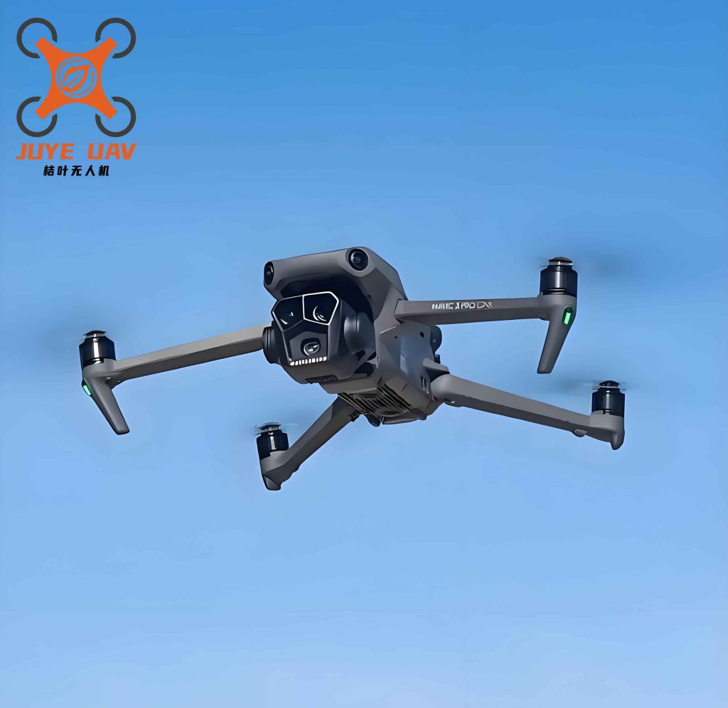
Figure above illustrates the three‑dimensional trajectory generated by LSS-ALA for the bridge inspection task. The drone starts from a designated base point and follows the spiral‑evolving path to cover all critical inspection waypoints while maintaining safe clearance from all obstacles.
4.3 Computational Complexity
The LSS-ALA algorithm does not increase the core loop nesting depth compared to standard ALA. LHS initialization is performed only once with complexity \(O(ND)\); the SSA position update is triggered probabilistically and replaces only a portion of the ALA updates, adding negligible overhead. Therefore, the per‑iteration complexity remains \(O(ND)\), and total complexity is \(O(TND)\). Empirical tests show that the average runtime per run on the bridge scenario is 5.1 s for LSS-ALA, while ALA runs in 4.8 s – a marginal increase that is well within real‑time requirements for pre‑mission planning.
5. Conclusion
We have presented a complete framework for safe and adaptive trajectory planning of China UAV drones in complex bridge inspection. By integrating BIM semantic lightweight modeling with the proposed LSS-ALA algorithm, we achieve significant improvements in both computational efficiency and solution quality. The key contributions are:
- A lightweight BIM‑based environment modeling method that reduces collision‑detection time by over 96% and enables real‑time path planning.
- The LSS-ALA algorithm with LHS initialization, sparrow search alert mechanism, and nonlinear adaptive weights, which outperforms six state‑of‑the‑art optimizers on CEC2022 benchmarks and bridge simulation scenarios.
- Multidimensional constraint formulation (kinematic, energy) combined with cubic B‑spline smoothing ensures dynamically feasible and energy‑efficient trajectories.
In future work, we plan to integrate wind field disturbances and dynamic obstacle avoidance capabilities to further enhance the resilience of China UAV drones in adverse weather conditions. Additionally, the extension to multi‑drone collaborative inspection of large‑span bridges will be investigated.