
With the rapid growth of e-commerce and on-demand delivery services, the number of unmanned aerial vehicles (UAVs) operating in urban airspace is projected to increase dramatically. According to industry forecasts, by 2021 China’s annual parcel delivery volume will reach 70.5 billion items. Assuming a medium-sized city with 3,185 counties and districts, this translates to approximately 720,000 parcels per day per city. When we add other drone applications such as food delivery, aerial photography, and infrastructure inspection, the daily drone flight density in a medium-sized city could easily exceed 1 million sorties per day. Without a robust drone regulation framework, such density would lead to severe airspace congestion, collision risks, and operational inefficiency. In this paper, we propose a comprehensive drone regulation system designed to manage high-capacity urban drone operations, ensuring safety, efficiency, and scalability.
Our proposed system is built upon seven core components: the urban drone control network, drone regulation center, drone lift-off and landing channels, drone managed express routes, drone no-fly zones, drone work zones, and control transfer transition areas. Each component plays a critical role in enabling a structured and automated drone regulation environment. Below we summarize these components in Table 1.
| Component | Description | Key Functions |
|---|---|---|
| Urban Drone Control Network | A tripartite control architecture linking operator, regulation center, and monitoring network. | Identity recognition, flight permission, control handover, and signal relay. |
| Drone Regulation Center | Centralized authority for monitoring, decision-making, and enforcement. | Airspace capacity management, black-flight detection, emergency override. |
| Lift-off/Landing Channels | Designated vertical corridors for safe ascent and descent. | Separation from routes and work zones; enterprise channel application. |
| Managed Express Routes | High-speed, structured corridors where drones fly in formation. | Leader-follower formation, automated routing, collision avoidance. |
| No-Fly Zones | Restricted areas such as airports, military sites, and government buildings. | Geofencing, conditional transit under strict regulation. |
| Work Zones | Designated areas for mission execution with relative freedom. | Radio-signal spatial division, capacity limits, operator control. |
| Control Transfer Transition Areas | Holding zones where control is handed back to operators or to the regulation system. | Smooth handover, hover stability, queue management. |
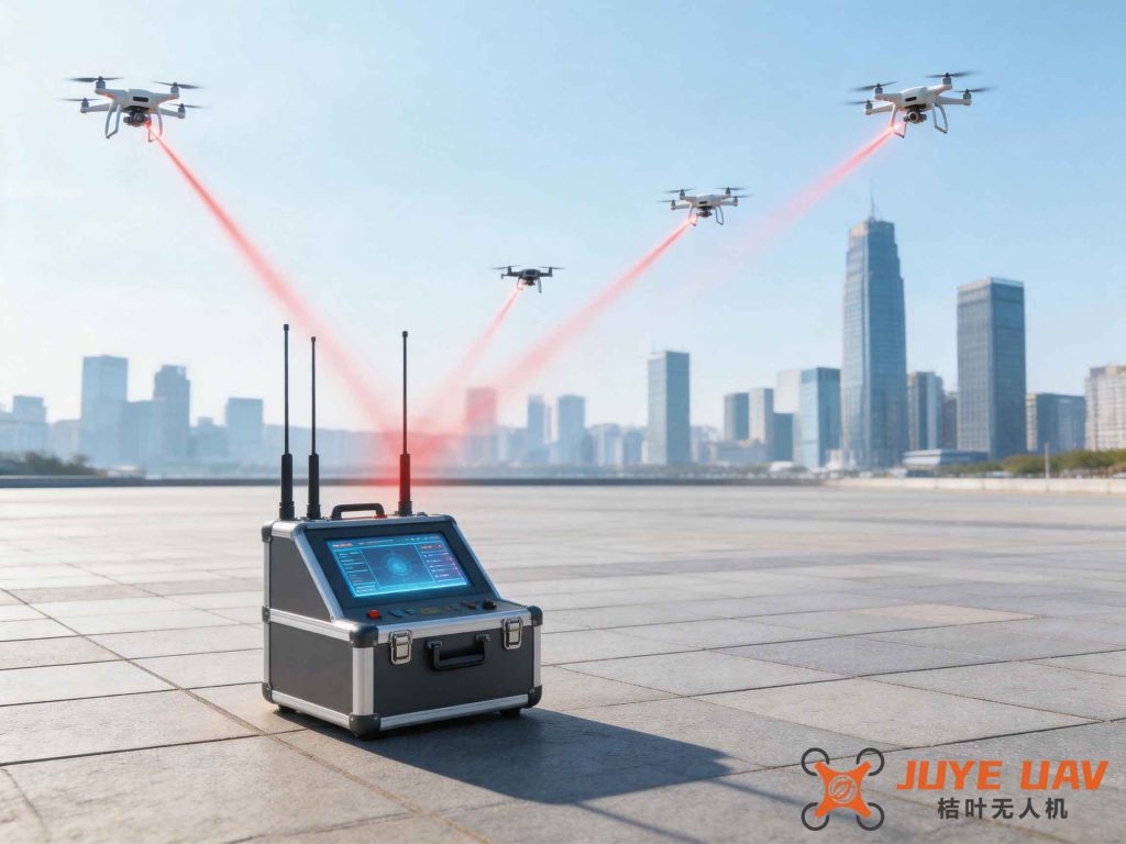
The urban drone control network is a cornerstone of our drone regulation approach. It consists of three parallel communication links: the operator control link, the regulation control link, and the monitoring network. When a drone is powered on and connected, the monitoring network verifies its identity against a national registry. Permission to enter the airspace is granted only if the drone’s mission profile is approved and slots in the express routes and work zones are available. Once permission is granted, the operator relinquishes control to the regulation control link, which guides the drone into a managed express route. The drone then joins a formation under the leader-follower paradigm. This automated handover eliminates human error and ensures orderly flow, which is essential for high-density drone regulation.
To quantify the capacity of our system, we model the managed express route as a one-dimensional queue with a constant spacing between successive formations. Let v be the average cruise speed (m/s), L the length of each formation (including safety buffer), and N the number of drones per formation. The maximum throughput F (drones per hour) of a single express route is given by:
$$ F = \frac{3600 \cdot N \cdot v}{L} $$
For example, with v = 15 m/s, N = 10 drones per formation, and L = 20 m (including inter-drone spacing of 2 m), the throughput is:
$$ F = \frac{3600 \times 10 \times 15}{20} = 27,000 \text{ drones per hour} $$
If a city deploys 10 such parallel express routes, the total route capacity reaches 270,000 drones per hour, far exceeding the projected 1 million daily sorties (about 41,667 per hour assuming 24-hour operation). However, the bottleneck often lies in the work zones and transition areas. The capacity of a work zone depends on the minimum safe separation distance between drones during autonomous operation. We assume a square grid layout with drones hovering at a fixed altitude. Let d be the safe separation distance (m) and A the area of the work zone (m²). The maximum number of drones C that can be accommodated simultaneously is:
$$ C = \frac{A}{d^2} $$
For instance, a 1 km² work zone with d = 5 m yields:
$$ C = \frac{1,000,000}{25} = 40,000 \text{ drones} $$
However, practical constraints such as wind disturbance, battery life, and communication latency reduce this theoretical maximum. In our system, we enforce a safety factor of 0.6, resulting in an operational capacity of 24,000 drones per work zone. With 10 work zones distributed across the city, the total simultaneous drone capacity is 240,000. This is more than sufficient for the daily demand when considering staggered mission durations.
| Parameter | Symbol | Typical Value | Unit |
|---|---|---|---|
| Cruise speed | v | 15 | m/s |
| Formation length | L | 20 | m |
| Drones per formation | N | 10 | – |
| Safe separation distance | d | 5 | m |
| Work zone area | A | 1,000,000 | m² |
| Safety factor | η | 0.6 | – |
The transition areas between routes and work zones are critical for maintaining flow. When a formation approaches the destination work zone, the regulation control link partitions the formation by selecting the leading drone heading to that zone as the new leader. The remaining drones follow as followers until they reach their respective zones. This process is mathematically modeled as a queue splitting problem. Let P be the probability that a drone in a formation is destined for a particular work zone. The expected number of drones diverted at each transition point is E = N × P. To avoid bottlenecks, the regulation center dynamically adjusts the release rate from the express routes into each transition area. The optimal release rate R (drones per second) is constrained by the hover capacity of the transition area H and the average time τ (seconds) a drone spends waiting before entering the work zone:
$$ R = \frac{H}{\tau} $$
If H = 500 drones and τ = 20 seconds, then R = 25 drones per second, which is well above typical peak demand. However, during adverse weather or system failures, τ increases, reducing effective capacity. Therefore, our drone regulation framework includes real-time monitoring and adaptive control to adjust parameters dynamically.
Access to the drone regulation system is conditional on strict hardware and software requirements. Every drone must pass certification tests for stability, hover precision, and obstacle avoidance. Table 3 summarizes the minimal performance standards.
| Requirement | Specification | Test Method |
|---|---|---|
| Flight stability in formation | Position error < 0.5 m in crosswind up to 8 m/s | Wind tunnel and GPS-IMU fusion test |
| Hover stability | Drift < 0.3 m over 60 seconds in calm air | Static hover test with vision tracking |
| Obstacle avoidance | Detect and avoid obstacles > 10 cm within 5 m range, reaction time < 0.2 s | Simulated obstacle course |
| Battery endurance | Minimum 30% reserve after mission; must complete F = 1.2 × planned range | Energy consumption model with payload |
In addition to hardware, the drone must be capable of multi-frequency communication to handle the handover between operator and regulation control links. The handover protocol follows a two-phase commit: first, the regulation center sends a handover request; the drone acknowledges and enters a safe hover; then the operator receives control only after the regulation center confirms release. This ensures no loss of control during transition. The overall drone regulation architecture is designed to be fault-tolerant. If a drone loses communication, the regulation center can either instruct it to land immediately at the nearest designated landing channel or, if safe, continue to the destination under a degraded mode with increased separation distance.
The concept of no-fly zones is integral to urban drone regulation. While traditional geofencing relies on pre-programmed boundaries, our system allows authorized drones to transit through certain no-fly zones under strict conditions. For example, a drone carrying critical medical supplies may be granted a time-limited corridor through a restricted airspace, provided it is under full regulation center control and emits a unique identification code. The regulation center maintains a dynamic database of all active no-fly zones and updates drone firmware in real time. We model the probability of a drone inadvertently entering a no-fly zone as a function of navigation accuracy σ (standard deviation of position error) and the distance D to the zone boundary. Assuming a Gaussian error distribution, the probability P_e of violation is:
$$ P_e = \frac{1}{2} \left[ 1 – \text{erf} \left( \frac{D}{\sigma \sqrt{2}} \right) \right] $$
With σ = 0.5 m and D = 10 m, P_e ≈ 10⁻¹⁰, which is negligible. However, to further reduce risk, we enforce a safety margin of 2σ, effectively doubling the buffer.
To summarize, the proposed drone regulation system offers a scalable, automated solution for managing millions of daily drone operations in urban environments. By structuring airspace into express routes, work zones, and transition areas, and by enforcing strict hardware and communication standards, we can achieve safe and efficient coexistence of diverse drone missions. The mathematical models presented above provide a foundation for capacity planning and dynamic resource allocation. Future work will focus on integrating this system with urban traffic management and developing machine learning algorithms for predictive scheduling. Ultimately, a robust drone regulation framework is not only beneficial but necessary for the sustainable growth of the drone industry. The system we outline here provides a pathway toward that goal, ensuring that the skies remain safe, orderly, and productive.