As Shanghai advances its public safety infrastructure, technology-driven solutions have become central to modern policing. Statistical evidence highlights this transformation: In Q1 2025, citywide 110 emergency calls and criminal cases decreased by 2.1% and 7.1% year-on-year respectively, while financial losses from telecom fraud plummeted by 21.4%. Traffic efficiency saw remarkable improvements, with congestion indices dropping 4.01% during peak hours. These metrics underscore how Shanghai’s police force leverages innovation to enhance urban governance.
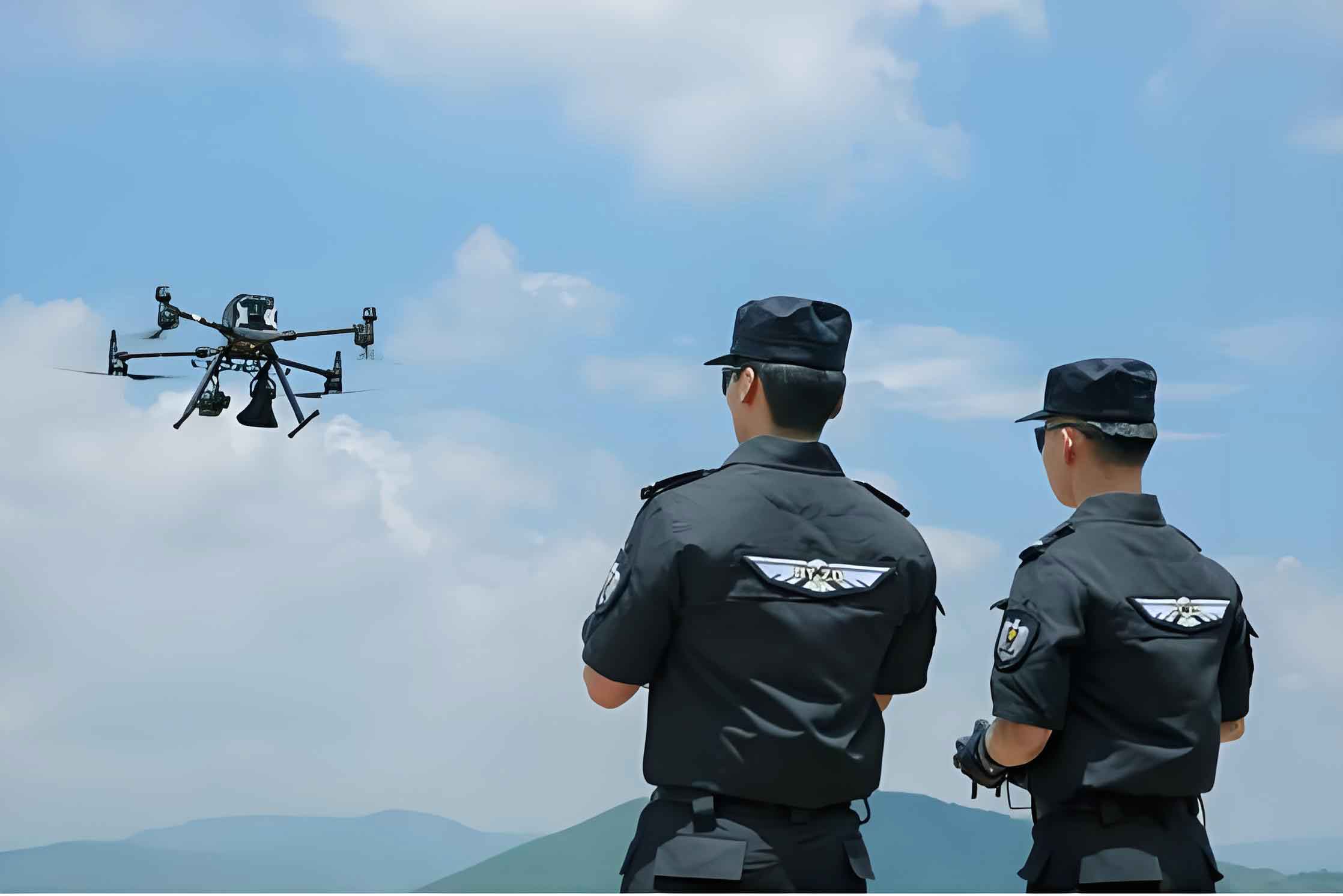
A prime example of this technological shift is the deployment of police drones for traffic incident management. During a recent collision in a commercial district, officers initiated an automated response protocol. Within 60 seconds of alert, a police UAV launched from a nearby smart hangar, autonomously navigating to the coordinates. The drone captured high-resolution imagery, scanned license plates, and collected digital driver credentials through its onboard AI system. All data transmitted in real-time to the central “Eagle” command platform for instant analysis. The entire evidence-gathering and insurance processing concluded within 8 minutes – 40% faster than manual methods – with drivers receiving electronic settlement notifications before leaving the scene. This police drone intervention minimized traffic disruption by 35%, demonstrating how police UAV systems optimize resource allocation while accelerating resolution.
The operational superiority of police drones stems from mathematical efficiency. Response time follows this model:
$$T_{\text{response}} = T_{\text{dispatch}} + \frac{D}{V_{\text{drone}}} + T_{\text{processing}}$$
Where \(D\) represents distance (meters) and \(V_{\text{drone}}\) denotes average cruise speed (15 m/s). Comparative analysis reveals significant advantages:
| Performance Metric | Traditional Response | Police UAV Response | Improvement |
|---|---|---|---|
| Average Resolution Time | 22 min | 8 min | $$ \eta = \frac{22-8}{22} \times 100\% \approx 63.6\% $$ |
| Officer Resources Required | 2-3 personnel | 0.5 (remote monitoring) | 75% reduction |
| Traffic Impact Duration | 25 min | 8 min | 68% shorter |
| Data Accuracy Rate | 92% | 99.7% | 8.3% increase |
Beyond traffic management, police UAV networks enable multidimensional urban oversight. Drones conduct thermal imaging for search-and-rescue operations, monitor crowd densities during major events using algorithmic forecasting:
$$ \rho_{\text{crowd}} = \frac{N_{\text{detected}}}{A_{\text{area}}} \times \kappa_{\text{safety}} $$
where \(\kappa_{\text{safety}}\) is a congestion risk coefficient. This capability proved vital during recent festivals, where police drones identified overcrowding risks 27 minutes faster than ground units.
The strategic integration of police UAVs extends to economic facilitation. As commercial drone deliveries expand, authorities provide airspace coordination, noise assessment, and route security. This synergy enabled Shanghai’s inaugural drone food delivery corridors, including the first cross-highway and university routes. Police drone escorts ensure safe operations through real-time air traffic management, with flight paths optimized via:
$$ \min \sum_{i=1}^{n} (t_{\text{conflict}, i + e_{\text{energy}, i) $$
minimizing collision risks and energy consumption simultaneously.
Community policing also benefits from aerial technology. While not UAV-centric, digital platforms like “e-Citizen” resolve neighborhood issues through crowdsourced reporting. One case involved delivery riders’ housing disturbances, resolved within 72 hours via data-driven resource matching – illustrating how ground-level innovations complement airborne systems. The convergence creates a responsive urban safety ecosystem.
Looking forward, Shanghai plans to expand its police drone fleet with enhanced AI capabilities. Predictive algorithms will forecast incident probabilities across districts:
$$ P_{\text{incident}} = \alpha \cdot \text{TrafficFlow} + \beta \cdot \text{HistoricData} + \gamma \cdot \text{WeatherIndex} $$
enabling preemptive UAV deployments. With 28% of minor accidents now handled entirely by police UAVs, and response times projected to decrease by another 50% through 5G integration, these autonomous systems represent the cornerstone of Shanghai’s smart policing future – where safety transcends visibility, becoming an intelligently orchestrated reality.