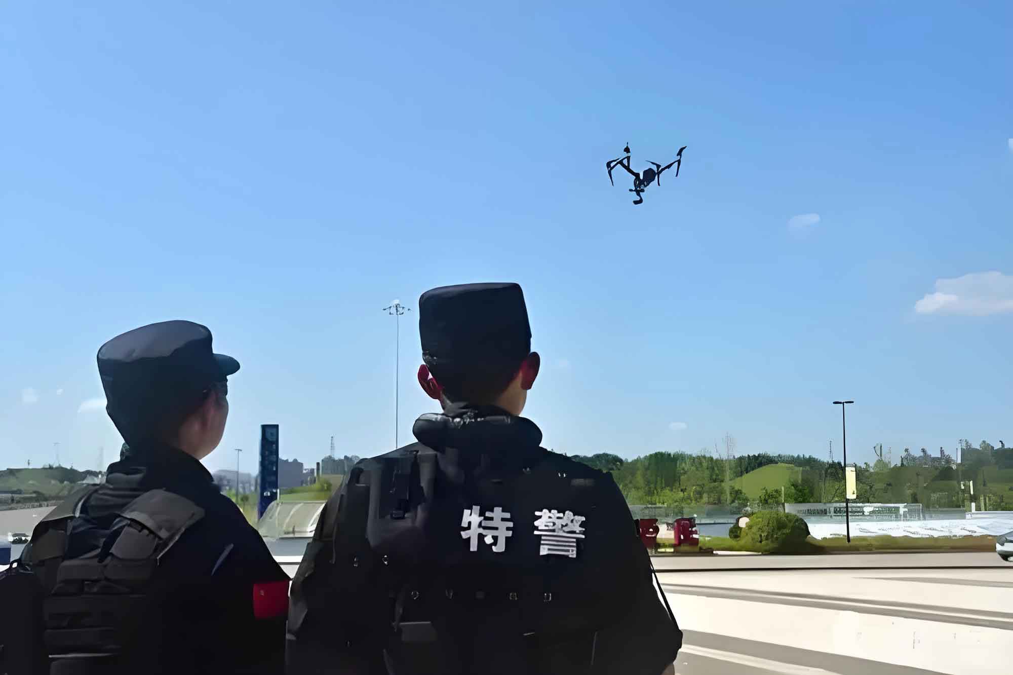
The rapid advancement of smart policing strategies has positioned police drones (UAVs) as indispensable tools in modern law enforcement. These aerial systems leverage extensive monitoring capabilities and exceptional mobility to revolutionize traffic management. Our analysis reveals both transformative applications and critical limitations in current police UAV implementations.
Technical Limitations in Current Police Drone Systems
Police drone effectiveness is constrained by technological shortcomings. Wind resistance, obstacle avoidance, and endurance metrics frequently fall below operational requirements. The performance gap between standard and required specifications is quantified as:
$$P_{gap} = \frac{\sum_{i=1}^{n} (R_i – A_i)}{n}$$
Where \(R_i\) represents required specifications and \(A_i\) actual performance across \(n\) critical parameters. Current limitations particularly hinder detection of nuanced violations like tailgating (\(d < safe\_distance\)) or unsafe lane changes:
| Violation Type | Detection Accuracy | Technology Limitation |
|---|---|---|
| Tailgating | 42% | Depth perception at speed |
| Aggressive Overtaking | 37% | Multi-object tracking |
| Signal Violations | 89% | Optimal performance |
Operational Framework Deficiencies
The absence of standardized police drone protocols creates operational inefficiencies. Flight coordination between multiple police UAV units follows an unregulated model:
$$C_e = 1 – \frac{O_a}{O_m}$$
Where \(C_e\) represents coordination efficiency, \(O_a\) actual operational overlap, and \(O_m\) maximum allowable overlap. Training and deployment disparities across regions further exacerbate inconsistencies:
| Region Type | Pilots per 100k Population | Drones per Department | Training Hours/Year |
|---|---|---|---|
| Urban | 3.2 | 8.7 | 120 |
| Suburban | 1.6 | 4.2 | 80 |
| Rural | 0.8 | 2.1 | 45 |
Optimizing Police UAV Operational Effectiveness
Maximizing police drone potential requires strategic enhancement of three domains: technological capability \(T_c\), regulatory framework \(R_f\), and personnel proficiency \(P_p\). The overall effectiveness \(E_o\) is expressed as:
$$E_o = \alpha \log(T_c) + \beta R_f^{0.5} + \gamma P_p$$
Where coefficients \(\alpha\), \(\beta\), and \(\gamma\) represent weighting factors determined by operational priorities.
Integrated Air-Ground Response Framework
Developing synergistic police drone operations requires seamless coordination between aerial and ground assets. The optimal response time \(RT\) model incorporates police UAV deployment as:
$$RT = \frac{D_{scene}}{V_{drone}} + \frac{A_{process}}{P_{team}}$$
Where \(D_{scene}\) = distance to incident, \(V_{drone}\) = police UAV velocity, \(A_{process}\) = analysis complexity, and \(P_{team}\) = processing capacity of integrated teams.
| Integration Level | Response Time Reduction | Evidence Capture Efficiency | Cost-Benefit Ratio |
|---|---|---|---|
| Basic (Recon only) | 18% | 1.2x | 3.4:1 |
| Intermediate | 37% | 2.1x | 5.7:1 |
| Advanced (Full integration) | 62% | 3.8x | 8.3:1 |
Strategic Development Pathways
Our proposed police UAV optimization matrix prioritizes improvements across four dimensions:
$$I_{priority} = \frac{U \times I}{C \times T}$$
Where \(U\) = usage frequency, \(I\) = impact magnitude, \(C\) = implementation cost, and \(T\) = time-to-implementation. Highest priority initiatives include:
| Initiative | Technical Impact | Operational Scalability | Priority Score |
|---|---|---|---|
| Standardized Flight Protocols | High | National | 9.2/10 |
| AI-Enhanced Violation Detection | Revolutionary | Regional | 8.7/10 |
| Cross-Departmental Training | Medium | National | 8.5/10 |
| Modular Payload Systems | High | Departmental | 7.8/10 |
Police UAV endurance directly impacts operational coverage. The relationship between battery capacity \(C\) and effective patrol time \(T_p\) follows:
$$T_p = \frac{C \times \eta}{P_{avionics} + P_{payload}} \times k_{environment}$$
Where \(\eta\) = efficiency coefficient, \(P\) = power consumption, and \(k_{environment}\) accounts for wind/weather factors (range: 0.6-1.4).
Future Development Trajectory
The evolution of police drone capabilities follows an exponential improvement curve:
$$C_t = C_0 e^{rt} \times \frac{I_a}{I_m}$$
Where \(C_t\) = capability at time \(t\), \(C_0\) = baseline capability, \(r\) = improvement rate, \(I_a\) = actual investment, and \(I_m\) = minimum required investment. Current projections indicate police UAV functionalities will expand 300% within five years through strategic enhancements.
Implementation of standardized police drone operations frameworks yields measurable benefits:
$$ROI = \frac{\sum (C_{violation} \times D_{rate}) + R_{accident} \times A_{reduction}}{O_{cost}}$$
Where \(C_{violation}\) = cost per violation, \(D_{rate}\) = detection rate increase, \(R_{accident}\) = accident response savings, \(A_{reduction}\) = accident reduction percentage, and \(O_{cost}\) = operational costs.
Through comprehensive technical refinement, regulatory harmonization, and operational integration, police drones will transition from supplemental tools to foundational components of modern traffic enforcement ecosystems. The continuous advancement of police UAV capabilities represents not merely an operational improvement but a fundamental transformation in public safety methodology.