
As a researcher in unmanned aerial systems, I have long been fascinated by the intricate coordination required in modern formation drone light shows. These spectacular displays, where hundreds or thousands of drones move in sync to create luminous patterns in the sky, represent a pinnacle of multi-agent control. However, a critical challenge emerges when these formations encounter dynamic or unexpected obstacles, such as other aerial vehicles, temporary no-fly zones, or adverse weather pockets. The aesthetic and safety imperatives of a formation drone light show demand not just precise trajectory tracking but also robust, real-time obstacle avoidance that preserves the overall artistic and temporal integrity of the performance. In this article, I will elaborate on a control methodology derived from hierarchical decomposition strategies, originally applied in tactical UAV contexts, and adapt it to address the unique demands of obstacle avoidance within a formation drone light show. This approach ensures that the fleet can navigate complex environments while maintaining the synchronized, cohesive flow that defines a captivating formation drone light show.
The core problem in a formation drone light show during obstacle-rich scenarios is decentralized trajectory planning with strict spatiotemporal coordination. Unlike solo flights, each drone’s path must be re-optimized not only for individual safety but also for collective harmony—the show must go on, seamlessly. My approach decomposes this complex optimization into manageable layers: a low-level behavior control layer for generating multiple candidate paths, a mid-level mission management layer for enforcing synchronization, and a flight control layer for ensuring dynamic feasibility. This structure is particularly apt for a formation drone light show, where computational efficiency and real-time responsiveness are paramount.
Let me begin by detailing the behavior control layer. In a formation drone light show, the operational airspace is mapped with potential static obstacles—like temporary structures or designated exclusion zones—modeled as threat regions. We represent these regions as circular zones with infinite cost to ensure drones avoid them entirely. To chart safe passage, I construct a Voronoi diagram based on the centroids of these obstacle circles. The edges of this diagram represent paths that maximize clearance from obstacles, a crucial safety feature for a dense formation drone light show. The vertices and edges form a graph G = (V, E), where each edge eij connecting vertices v_i and v_j is assigned a cost Wij. For a formation drone light show, this cost combines distance and proximity-to-threat metrics, formalized as:
$$ W_{ij} = \begin{cases}
+\infty & \text{if } e_{ij} \text{ intersects any obstacle}, \\
k \cdot L_{ij} + (1-k) \cdot W^T_{ij} & \text{otherwise},
\end{cases} $$
where Lij is the Euclidean length of the edge, k ∈ [0,1] is a weighting factor balancing fuel efficiency (or flight time) against safety, and W^Tij is the threat cost. The threat cost for an edge, critical for ensuring a safe formation drone light show, is calculated as:
$$ W^T_{ij} = L_{ij} \left( \exp\left( \frac{\min(d_i, d_j, d_{ij})}{L_{ij}} \right) – 1 \right). $$
Here, d_i and d_j are the shortest distances from vertices v_i and v_j to any obstacle, and dij is the minimum distance from the edge itself to any obstacle. This exponential term ensures that paths nearing obstacles are penalized heavily, a non-negotiable aspect for a public formation drone light show over populated areas.
To provide flexibility for the coordination layer, we need not one, but several candidate paths for each drone in the formation drone light show. I employ a K-shortest path algorithm, specifically an adaptation of Eppstein’s algorithm, on this weighted graph. This algorithm efficiently finds the top K paths from a drone’s current position (modeled as an additional graph node) to its target position in the show sequence. The value of K is a tunable parameter; for a large-scale formation drone light show, a K between 3 and 5 often provides a good balance between choice and computational load. The output for each drone UAV_n is an ordered set of paths: P_n = {p^1_n, p^2_n, …, p^K_n}, with associated base costs W_n(p^k_n) and lengths L^k_n.
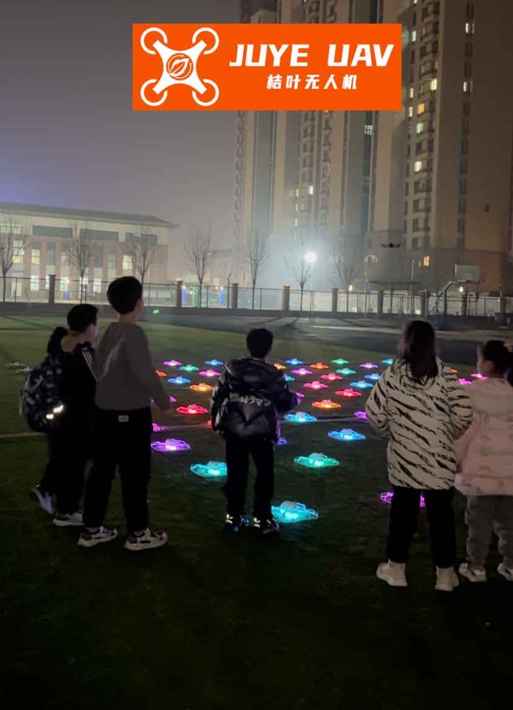
The visual complexity of orchestrating a formation drone light show is akin to the topological challenges solved by the Voronoi decomposition. The figure above illustrates the conceptual space partitioning and pathfinding inherent in planning a safe yet spectacular formation drone light show. Each drone’s candidate paths represent different artistic and safe trajectories through this partitioned space.
With multiple candidate paths for each drone, the problem ascends to the mission management layer. The paramount goal for a formation drone light show is temporal synchronization—all drones must reach specific waypoints at precise moments to maintain the integrity of the evolving light pattern. This is a simultaneous arrival problem. Let v_n(t) be the velocity of drone n, constrained within [v_{min}, v_{max}]. For a given candidate path p^k_n with length L^k_n, the possible time of arrival (TOA) range is [L^k_n / v_{max}, L^k_n / v_{min}]. The union of these ranges for all K paths gives the feasible TOA set S_n for drone n:
$$ S_n = \bigcup_{k=1}^{K} \left[ \frac{L^k_n}{v_{max}}, \frac{L^k_n}{v_{min}} \right]. $$
For a formation of N drones, a viable synchronized arrival time T_a must lie in the intersection of all individual feasible sets:
$$ T_a \in S = \bigcap_{n=1}^{N} S_n. $$
This T_a acts as the coordination variable. If S is empty, the K paths for one or more drones are insufficient, and a higher K or different obstacle modeling may be required—a rare but critical consideration for a fail-safe formation drone light show. For each drone and each candidate path, we define a cooperative cost function C_n^k(T) that merges the path’s intrinsic cost with the deviation from a desired time parameter T:
$$ C_n^k(T) = \lambda \cdot W_n(p^k_n) + (1 – \lambda) \cdot | T – T_n^k(T) |, $$
where T_n^k(T) is the actual flight time on path k if the drone travels at a constant speed v = L^k_n / T (provided v is within bounds), and λ is a weighting factor. In practice, for a formation drone light show, we often simplify: the cost is evaluated at the coordinated time T_a, and the speed is adjusted to meet it. The mission manager’s objective is to select one path p^{k*}_n for each drone to minimize the global cost while adhering to T_a:
$$ \min \sum_{n=1}^{N} C_n^{k*}(T_a) \quad \text{subject to} \quad T_a \in S. $$
This optimization ensures the formation drone light show proceeds with minimal total resource expenditure (akin to energy use) while hitting its artistic cues on time. The following table summarizes the key parameters and variables at this coordination layer for a formation drone light show.
| Symbol | Description | Typical Range/Value in a Formation Drone Light Show |
|---|---|---|
| N | Number of drones in the formation | 50 – 2000+ |
| K | Number of candidate paths per drone | 3 – 5 |
| vmin, vmax | Operational speed bounds | 5 – 15 m/s |
| λ | Cost weighting factor (path vs. time) | 0.3 – 0.7 |
| T_a | Synchronized arrival time (coordination variable) | Determined from intersection S |
| S_n | Feasible TOA set for drone n | Union of K time intervals |
| C_n^k | Cooperative cost function for drone n, path k | Minimized during selection |
Once the mission management layer selects the optimal path and assigned speed for each drone in the formation drone light show, the flight control layer takes over to generate a dynamically feasible trajectory. The waypoints from the Voronoi-based graph are often sharp. To ensure smooth motion that complies with drone kinematics—a must for stable lighting effects in a formation drone light show—we apply path smoothing. A common method is circular arc fitting at corners, constrained by the drone’s minimum turn radius R_{min}:
$$ R_{min} = \frac{v^2}{g \cdot \sqrt{n_{y_{max}}^2 – 1}}, $$
where g is gravity and n_{y_{max}} is the maximum allowed lateral load factor. Consider three consecutive waypoints A, B, C. We replace the sharp turn at B with a circular arc of radius R ≥ R_{min} tangent to both segments AB and BC. The tangent points P_1 and P_2 are found by interpolating along AB and BC based on geometry. If λ_1 = |P_1B| / |AB|, then the coordinate of P_1 is:
$$ P_1 = (1 – \lambda_1) \cdot B + \lambda_1 \cdot A. $$
A similar calculation yields P_2. This results in a G^1 continuous path (continuous position and tangent), which is sufficient for the controlled maneuvers of a formation drone light show. More sophisticated splines can be used for higher-order continuity if required by the show’s choreography.
Even with optimized and smoothed trajectories, the dense nature of a formation drone light show introduces the risk of inter-drone collisions, especially when paths converge or cross near obstacles. The hierarchical planner, while considering static obstacles, treats other drones as dynamic obstacles only implicitly through the coordination time. To address explicit deconfliction, I propose a set of distributed “traffic rules” inspired by aerial robotics and multi-agent systems. These rules are invoked reactively by each drone’s onboard system to resolve potential conflicts that the offline planner might have missed due to discretization or real-time disturbances. For a formation drone light show, these rules must be simple, deterministic, and minimize disruption to the overall pattern. The table below outlines a basic rule set.
| Traffic Rule | Operational Principle in a Formation Drone Light Show | Priority/Implementation |
|---|---|---|
| Lead Drone Priority | When multiple drones converge at a path junction or narrow passage, the drone with the lower ID (often the lead or earlier in the sequence) proceeds first. | Prevents deadlock; assigns clear right-of-way based on a pre-defined hierarchy. |
| Altitude-Based Passing | If a drone needs to overtake another on a similar path, it must gain altitude to pass above, provided altitude bounds allow. | Exploits the 3D airspace; minimal lateral deviation preserves the 2D projection of the light show. |
| Right-Side Avoidance | For head-on encounters, both drones deviate slightly to their right. If space is constrained, the higher-priority drone holds course, and the other combines right and altitude rules. | Mimics standard aviation practice; offers a predictable avoidance maneuver. |
| Formation Zone Recovery | After avoiding an obstacle or another drone, a drone must compute a fuel-optimal trajectory to rejoin its designated position in the formation pattern by the next keyframe. | Ensures the visual integrity of the formation drone light show is quickly restored after disruptions. |
These rules add a layer of resilience, ensuring that the formation drone light show can adapt to minor uncertainties without central intervention. The integration of hierarchical offline planning and reactive traffic rules creates a robust hybrid control architecture for large-scale formation drone light shows.
To validate this approach, let’s consider a simulation scenario inspired by the needs of a formation drone light show. Suppose we have a squadron of drones initially arranged in a geometric pattern (e.g., a circle) that needs to transition to a star pattern while navigating around a set of simulated static obstacles representing temporary no-fly zones or virtual objects in the show narrative. We can model a subset of this problem as a two-drone system for clarity. Let Drone A and Drone B start from distinct initial points, representing their positions in the initial formation, and must arrive at a specific line or point in the sky (the first waypoint of the new star pattern) simultaneously. Their speed range is set to [8 m/s, 12 m/s], typical for a precise formation drone light show. The environment contains several circular obstacle zones. Using the hierarchical method:
- Behavior Layer: For each drone, a Voronoi graph is built. The K-shortest path algorithm (K=3) finds three candidate paths. Their costs are calculated using the formula with k=0.5, balancing distance and safety.
- Mission Management Layer: The feasible time sets S_A and S_B are computed. Their intersection S yields a non-empty interval, say [45s, 48s]. The coordination variable T_a is selected as 46.5s to minimize the sum of cooperative costs. Drone A might select its second-shortest path (length 420m) and Drone B its shortest path (length 435m). Their speeds are then calculated as v_A = 420/46.5 ≈ 9.03 m/s and v_B = 435/46.5 ≈ 9.35 m/s, both within bounds.
- Flight Control & Traffic Rules: The chosen paths are smoothed. If the paths cross in the projection, the altitude-based passing rule is pre-planned: Drone A, with lower ID, maintains its altitude, while Drone B is assigned a slightly higher altitude for the crossing segment, ensuring no collision while minimally affecting the 2D light projection.
The success of this simulation demonstrates the method’s efficacy for a formation drone light show. Scaling this to hundreds of drones involves parallel computation of the K paths for groups of drones and solving a larger but sparse coordination optimization. The hierarchical decomposition keeps the problem tractable. The final output is a set of safe, smooth, and synchronized trajectories that allow the formation drone light show to proceed flawlessly, even in obstacle-laden environments.
The mathematical foundation of this method can be further generalized. Consider the overall formation drone light show planning as a constrained optimization over the joint state space of all drones. Let \mathbf{x}_n(t) be the state vector of drone n. The objective is to minimize a total cost J:
$$ J = \sum_{n=1}^{N} \int_{t_0}^{t_f} \left( \phi(\mathbf{x}_n, \mathbf{u}_n) + \psi(\mathbf{x}_n, \mathcal{O}) \right) dt + \Theta(\mathbf{x}_1(t_f), …, \mathbf{x}_N(t_f)), $$
subject to dynamics \dot{\mathbf{x}}_n = f(\mathbf{x}_n, \mathbf{u}_n), control constraints \mathbf{u}_n \in \mathcal{U}, and the critical synchronization constraints ||\mathbf{p}_n(t_k) – \mathbf{p}_m(t_k)|| \geq d_{safe} for all n ≠ m at all times, and t_{f,n} = T_a for all n, where t_{f,n} is the arrival time at a keyframe. The function \phi represents control effort, \psi is the obstacle avoidance penalty (derived from the Voronoi threat cost), and \Theta is a terminal cost for formation accuracy. The hierarchical method effectively approximates the solution to this intractable problem by separating the obstacle-aware geometric planning (minimizing the integral of \psi) from the temporal coordination (enforcing t_{f,n} = T_a) and dynamic smoothing (satisfying f and \mathcal{U} constraints).
In conclusion, the application of hierarchical decomposition strategy to obstacle avoidance presents a powerful framework for enabling resilient and stunning formation drone light shows. By decoupling pathfinding, synchronization, and dynamic execution, this approach meets the stringent real-time and safety demands of operating large fleets in constrained airspace. The integration of Voronoi-based geometric planning, K-shortest path diversity, cooperative cost optimization, and simple traffic rules creates a comprehensive solution that safeguards both the drones and the artistic vision of the formation drone light show. As the scale and complexity of these aerial displays grow, such structured yet flexible control architectures will be indispensable. Future work may integrate machine learning to refine the cost functions or predict obstacle movements, further enhancing the adaptability of the formation drone light show in truly dynamic environments. Ultimately, the goal is to push the boundaries of what is possible, allowing formation drone light shows to tell ever more complex and beautiful stories in the sky, unfettered by the challenges of the physical world.