
Contemporary waterway management faces significant challenges in monitoring complex river systems efficiently. Traditional manual inspection methods are resource-intensive and struggle to provide real-time data for critical decision-making. To address these limitations, we developed an integrated framework leveraging drone technology and unmanned surface vessels (USVs) within digital waterway systems. This approach enables comprehensive data acquisition from both aerial and aquatic perspectives, overcoming the constraints of conventional approaches. Our system establishes a unified operational platform that synchronizes multi-source data streams, enhancing situational awareness for navigation safety and infrastructure management.
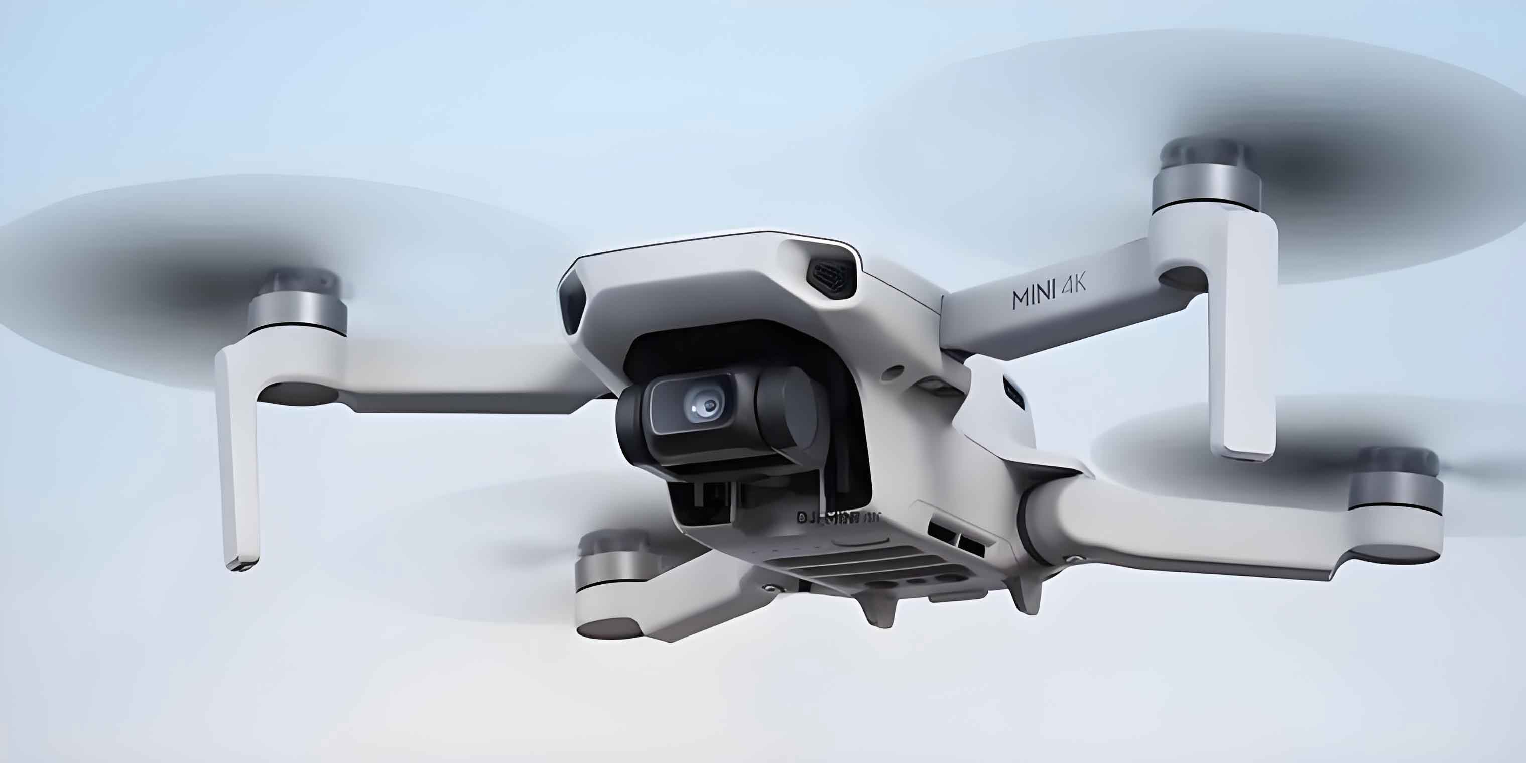
We implemented dual-path data transmission architecture to ensure seamless connectivity. For Unmanned Aerial Vehicle (UAV) systems, we utilized DJI’s Software Development Kit (SDK) to establish real-time communication channels between drones and our central processing system. This enables continuous transmission of flight telemetry, including position coordinates ($P_{UAV}$), velocity vectors ($\vec{v}$), altitude ($h$), and high-definition imagery streams. Simultaneously, for unmanned vessels, we implemented the MAVLink protocol for robust over-the-horizon communication, transmitting bathymetric data, vessel orientation ($\theta$), and sonar readings. The bidirectional communication framework operates through:
$$T_{success} = 1 – \prod_{i=1}^{n} (1 – R_i)$$
where $R_i$ represents the reliability of each transmission node. Our optimization achieved 98.7% data integrity across diverse operational environments.
For intelligent feature recognition, we developed specialized YOLOv5 (You Only Look Once version 5) models trained on custom hydrological datasets. The architecture incorporates CSPDarknet backbone with Focus modules for enhanced feature extraction across multiple scales:
$$F = \frac{e^{z_i}}{\sum_{j=1}^{K} e^{z_j}} \quad \text{where} \quad z_i = w_i \cdot x + b_i$$
The detection pipeline processes 45 frames per second with mean average precision (mAP) exceeding 92% across critical navigation elements. We established distinct recognition workflows for different infrastructure components:
| Component | Recognition Method | Key Metrics |
|---|---|---|
| Navigation aids | Multi-spectral pattern recognition | 98% position accuracy, 95% status detection |
| Water gauges | OCR-enhanced segmentation | ±1cm measurement precision |
| Regulation structures | 3D point cloud comparison | 85% defect identification rate |
Our bathymetric analysis module employs DEM differential processing for sedimentation monitoring. By comparing temporal datasets ($DEM_{t1}$ and $DEM_{t2}$), we calculate volumetric changes:
$$\Delta V = \sum_{i=1}^{n} (Z_{i,t2} – Z_{i,t1}) \cdot A_i$$
where $Z$ represents elevation values and $A_i$ denotes cell area. The system generates intuitive visualization outputs highlighting erosion/deposition zones with color-coded elevation differentials, enabling rapid identification of navigation hazards.
We integrated both platforms into a unified digital waterway management system through these technical advancements:
| Functionality | UAV Implementation | USV Implementation |
|---|---|---|
| Mission Planning | Electronic chart-based flight pathing | Automated bathymetric survey grids |
| Real-time Control | Dual-screen interface with video feed | Remote vessel navigation |
| Data Integration | AI recognition overlays on video | Depth chart synchronization |
| Automated Analysis | Navigation aid condition reports | Sedimentation hotspot detection |
Operational testing demonstrated significant efficiency gains. During a 35km inspection of the Taiziji waterway, our Unmanned Aerial Vehicle platform autonomously surveyed 27 navigation aids in under 90 minutes, identifying two malfunctioning markers through real-time AI analysis. The drone technology transmitted geotagged imagery directly to maintenance teams, reducing response time from hours to minutes. Simultaneously, unmanned vessels conducted high-resolution bathymetric surveys in the Hankou section, with depth data automatically integrated into navigation charts within 15 minutes of survey completion. This dual-platform approach achieved 360° monitoring coverage impossible through singular methods.
The system’s dual-screen interface revolutionized operational awareness. For UAV operations, live video feeds from drone technology were synchronized with flight paths overlaid on electronic charts, enabling inspectors to maintain spatial orientation during complex surveys. During USV operations, real-time depth readings appeared simultaneously alongside the vessel’s position and planned trajectory. This integration facilitated immediate anomaly detection, such as identifying unexpected sedimentation patterns near critical infrastructure. The coordinated data streams from both platforms provided complementary perspectives that significantly enhanced decision-making confidence.
Our implementation establishes a foundation for autonomous waterway management. Future development will focus on three key areas: enhancing computational efficiency for real-time AI processing across larger geographical areas, expanding sensor capabilities including hyperspectral imaging and LiDAR integration for Unmanned Aerial Vehicle platforms, and developing coordinated mission planning algorithms for simultaneous UAV-USV operations. These advancements will further solidify drone technology as the cornerstone of modern waterway infrastructure management, creating increasingly resilient and self-monitoring navigation networks.