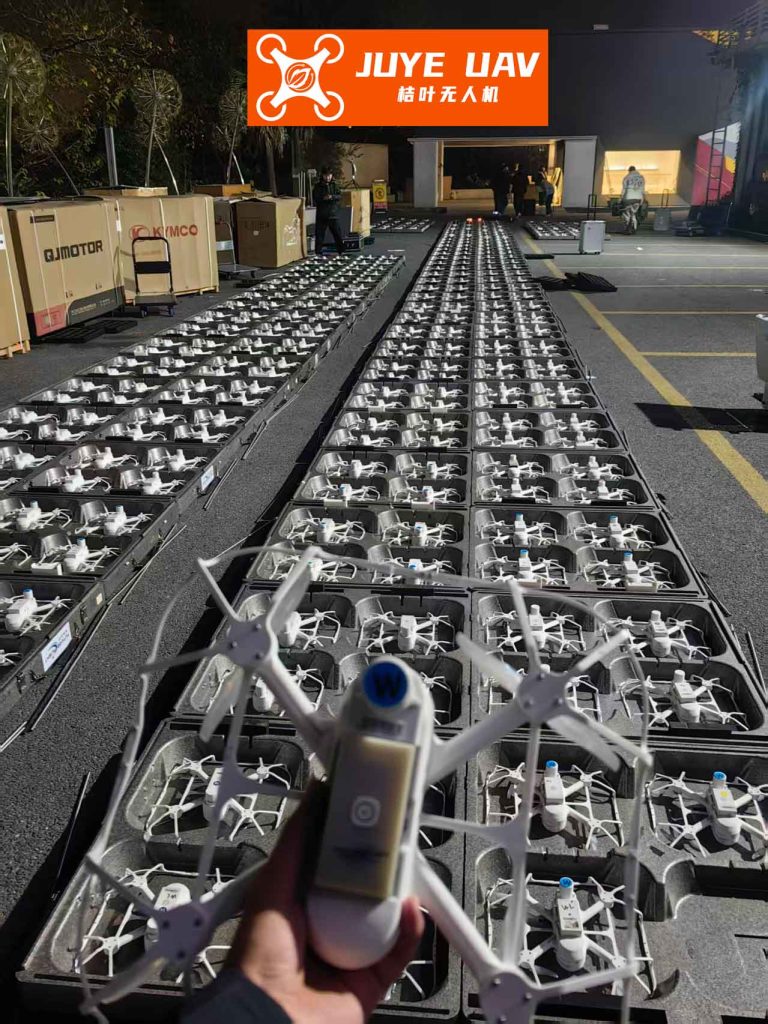
The breathtaking spectacle of a synchronized formation drone light show relies on an invisible yet critical technological backbone: the precise knowledge of each drone’s position relative to its neighbors. As these aerial fleets paint the night sky with complex, dynamic patterns, maintaining tight, safe, and accurate formations is paramount. This article, from my perspective as a systems engineer, delves into the core technologies that enable such high-precision, resilient coordination, focusing on advanced relative positioning and robust anti-jamming methods essential for large-scale formation drone light show operations.
Traditional absolute positioning, like standard GNSS, offers meter-level accuracy—insufficient for drones flying mere meters apart. The solution lies in relative positioning, where drones calculate their positions relative to a known reference point or to each other with centimeter-level precision. For a dynamic formation drone light show, where all participants are in motion, this becomes a challenge of “moving-to-moving” (kinematic-to-kinematic) relative positioning.
Core Technologies for Moving-Base Relative Positioning
The gold standard for high-precision positioning is Real-Time Kinematic (RTK) technology, which uses the phase of the GNSS carrier signal itself. The basic carrier phase observation equation for a receiver \(u\) and satellite \(j\) is:
$$ \lambda \phi_u^j(t) = \rho_u^j(t) + c[\delta t_u(t) – \delta t^j(t)] – I_u^j(t) + T_u^j(t) + \lambda N_u^j + \epsilon_u^j(t) $$
where \(\lambda\) is the wavelength, \(\phi\) is the measured carrier phase, \(\rho\) is the geometric range, \(c\) is the speed of light, \(\delta t_u\) and \(\delta t^j\) are receiver and satellite clock errors, \(I\) and \(T\) are ionospheric and tropospheric delays, \(N\) is the integer phase ambiguity, and \(\epsilon\) encompasses noise and multipath.
In differential RTK, a base station with a known position calculates correction data. A nearby rover uses these corrections to resolve its own integer ambiguities (\(N\)) and achieve centimeter accuracy. However, this classic model assumes a static base station. In a formation drone light show, designating a static base is impractical; any drone could be the “base” for others, and all are moving. This is the challenge of kinematic-to-kinematic (K2K) positioning.
Overcoming the Moving Base and Latency Hurdle: ARTK/TDCP
When the base is also moving, two major issues arise: 1) the communication latency between the base and rover means they are using observations from different times, and 2) the base moves during this latency period. Simply applying standard RTK with asynchronous observations leads to significant errors.
The solution we implement is a fusion of Asynchronous RTK (ARTK) and Time-Differenced Carrier Phase (TDCP). ARTK handles the dual-differencing of observations taken at different epochs (\(t_0\) for base, \(t_1\) for rover). The asynchronous double-difference observation model can be linearized. If we track \(s+1\) satellites on \(f\) frequencies, the matrix form for a single epoch is:
$$ \mathbf{V} = [\mathbf{A} \quad \mathbf{B}] \begin{bmatrix} \mathbf{X} \\ \mathbf{N} \end{bmatrix} – \mathbf{L} $$
where \(\mathbf{V}\) is the residual vector, \(\mathbf{X}\) is the baseline vector (relative position), \(\mathbf{N}\) is the vector of integer ambiguities, and \(\mathbf{A}\) and \(\mathbf{B}\) are design matrices.
However, ARTK alone calculates the vector between the base’s past position and the rover’s current position (the asynchronous baseline, \(\mathbf{b}_a\)). We need the synchronous baseline (\(\mathbf{b}_s\)) at the current time. This is where TDCP shines. TDCP uses the phase observations from the moving base itself across two consecutive epochs to estimate its own displacement vector \(\Delta\mathbf{r}_T\) with centimeter accuracy, without needing to resolve ambiguities. The observation model is:
$$ \Delta \phi_B^j(t_0, t_1) = [\mathbf{u}^j(t_1) – \mathbf{u}^i(t_1)] \cdot \Delta\mathbf{r}_T + \Delta \epsilon $$
where \(\mathbf{u}\) is the satellite unit direction vector.
By continuously calculating \(\Delta\mathbf{r}_T\) at a high rate and sending these compact displacement packets to the rover, the rover can reconstruct the base’s movement during the communication latency. The rover then corrects the ARTK-derived asynchronous baseline:
$$ \mathbf{b}_s(t_k) = \mathbf{b}_a(t_{k-1}, t_k) – \sum_{m=0}^{n-1} \Delta\mathbf{r}_T(t_{k-1} + m \cdot \Delta t) $$
This ARTK/TDCP fusion effectively solves the moving-base, high-latency problem, making it ideal for the dynamic and potentially latency-prone communication environment of a formation drone light show.
Cycle Slip Handling and Robustness
Urban environments and aggressive maneuvers during a formation drone light show can cause cycle slips—sudden jumps in the integer ambiguity \(N\). We employ a multi-pronged approach: using geometry-free and MW (Melbourne-Wübbena) combinations for detection. For ARTK, detected cycle slips are repaired by introducing new ambiguity parameters. In the TDCP thread, a cycle slip simply disqualifies that satellite’s measurement for that epoch; if too many satellites are affected, the system uses historical TDCP data for prediction until a fix is re-initialized. This ensures continuous and reliable positioning.
Ensuring Operation in Hostive RF Environments: High-Precision Anti-Jamming
A large-scale public formation drone light show is a high-value target for both intentional and unintentional radio frequency interference. Standard GNSS signals are extremely weak and easily drowned out. Anti-jamming is non-negotiable, but for high-precision positioning, it must be done in a way that preserves the phase integrity of the carrier signal. Traditional power-minimizing algorithms distort phase.
Our solution employs a digital controlled reception pattern antenna (CRPA) with multi-beam steering. The core algorithm is based on the Linearly Constrained Minimum Variance (LCMV) criterion. For each tracked satellite \(s\) with a known direction of arrival \(\boldsymbol{\theta}_s\), we compute an optimal weight vector \(\mathbf{w}_s\) that minimizes output power (suppressing jammers) while passing the desired satellite signal with unity gain and, critically, zero phase shift.
$$ \begin{aligned}
& \underset{\mathbf{w}_s}{\text{minimize}} & & \mathbf{w}_s^H \mathbf{R}_x \mathbf{w}_s \\
& \text{subject to} & & \mathbf{w}_s^H \mathbf{a}(\boldsymbol{\theta}_s) = 1
\end{aligned} $$
The solution is given by:
$$ \mathbf{w}_s = \frac{\mathbf{R}_x^{-1} \mathbf{a}(\boldsymbol{\theta}_s)}{\mathbf{a}^H(\boldsymbol{\theta}_s) \mathbf{R}_x^{-1} \mathbf{a}(\boldsymbol{\theta}_s)} $$
where \(\mathbf{R}_x\) is the covariance matrix of the array input signals and \(\mathbf{a}(\boldsymbol{\theta}_s)\) is the steering vector for satellite \(s\). This beamforming is performed digitally in parallel for each satellite, creating multiple simultaneous beams pointed at each GNSS signal nulling interference from other directions. The processed signal \(y_s(t)\) for satellite \(s\) is:
$$ y_s(t) = \mathbf{w}_s^H \mathbf{x}(t) = s(t) + \tilde{\eta}(t) $$
where \(s(t)\) is the original satellite signal with its phase intact and \(\tilde{\eta}(t)\) is greatly reduced noise/interference. This allows the receiver to maintain phase-lock and perform precise carrier-phase-based positioning even in contested spectral environments, a must for a reliable formation drone light show system.
Performance Validation and System Characteristics
We validated the integrated ARTK/TDCP positioning system in dynamic vehicular tests, simulating two moving drones. One vehicle acted as the moving base, the other as the rover. A separate static base provided truth data. The results, summarized below, demonstrate the efficacy of the approach.
| Scenario | Constellation | Mean Error (m) | Std. Deviation (m) | RMS (m) |
|---|---|---|---|---|
| Synchronous (No Latency) | BDS | 0.026 | 0.014 | 0.040 |
| GPS | 0.049 | 0.060 | 0.110 | |
| Asynchronous (Latency < 1s) | BDS | 0.052 | 0.028 | 0.080 |
| GPS | 0.046 | 0.026 | 0.072 |
The asynchronous performance is nearly on par with the ideal synchronous case, achieving better than 10 cm 3D accuracy. This confirms that the ARTK/TDCP method successfully compensates for base motion and latency. The anti-jamming performance was validated through simulation, showing complete suppression of high-power jammers while maintaining carrier phase alignment, as shown in the table below.
| Algorithm | Principle | Jamming Suppression | Phase Distortion | Suitability for High-Precision |
|---|---|---|---|---|
| Power Inversion (PI) | Minimizes total output power | Excellent | High (Uncontrolled) | Poor |
| LCMV Multi-Beam | Constrained minimization per satellite direction | Excellent | None (Controlled) | Excellent |
Conclusion: A Robust Foundation for Aerial Artistry
The seamless and awe-inspiring visuals of a modern formation drone light show are fundamentally enabled by advanced GNSS technology. The integration of Asynchronous RTK with Time-Differenced Carrier Phase (ARTK/TDCP) solves the critical challenge of high-precision relative positioning between moving vehicles, overcoming communication latency and base station motion. This provides the centimeter-level relative accuracy necessary for safe, tight formations.
Furthermore, the adoption of high-fidelity anti-jamming techniques like multi-beam LCMV beamforming ensures system resilience. It protects the delicate carrier-phase measurements from interference without compromising their integrity, guaranteeing performance in electromagnetically complex urban settings where formation drone light show events are typically held.
Looking forward, the fusion of this robust relative GNSS solution with other onboard sensors like inertial measurement units (IMUs) will further enhance continuity and reliability during short GNSS outages, making the technology even more failsafe. As the scale and complexity of formation drone light show performances grow, these core technologies of precise relative navigation and hardened signal reception will remain the indispensable pillars upon which this aerial art form thrives.