The integration of low-altitude economy principles into port operations represents a fundamental shift in maritime logistics. Low-altitude economy leverages aerial vehicles operating under 1,000 meters – primarily low altitude drones and low altitude UAVs – to create new operational paradigms. This spatial economic model has evolved significantly since China’s 2010 airspace management reforms, with ports emerging as prime implementation zones for these technologies.
Port technological evolution occurs in three distinct phases:
$$ \text{Digital Port} \rightarrow \text{Smart Port} \rightarrow \text{Intelligent Port} $$
Digital Ports establish electronic operations and data visualization, Smart Ports implement IoT-enabled granular control, while Intelligent Ports leverage AI and digital twins for ecosystem optimization. Current automation progress across Chinese ports includes:
| Port Type | Representative Ports | Automation Approach |
|---|---|---|
| Container Terminals | Dalian Port | Full automation retrofit |
| Yingkou Port | Full automation retrofit | |
| Tianjin Port | Full automation new build | |
| Qingdao Port | Full automation new build | |
| Shanghai Port | Full automation new build | |
| Ningbo-Zhoushan Port | Hybrid retrofit/new build | |
| Guangzhou Port | Full automation new build | |
| … | ||
| Dry Bulk Terminals | Qinhuangdao Port | Full automation retrofit |
| Caofeidian Port | Full automation retrofit | |
| Yantai Port | Full automation retrofit | |
| Shanghai Port | Full automation retrofit | |
Low altitude drones significantly enhance port productivity through multiple operational vectors. Drone-enabled yard management systems achieve 40% faster inventory scans compared to manual operations, with accuracy improvements measurable by:
$$ \eta_{\text{accuracy}} = 1 – \frac{E_{\text{detected}}}{E_{\text{actual}}} $$
where $E$ represents inventory discrepancies. Low altitude UAVs autonomously conduct stockpile volumetric analysis, defect detection, and safety compliance monitoring through intelligent base stations.
In navigational assistance, low altitude drones provide critical supplementary data for vessel guidance, particularly during low-visibility conditions. The operational enhancement can be quantified as:
$$ \Delta S = \frac{t_{\text{traditional}} – t_{\text{UAV-assisted}}}{t_{\text{traditional}}} \times V_{\text{average}} $$
where $\Delta S$ represents distance savings during docking maneuvers. Documented case studies demonstrate their effectiveness:
| Scenario | Location | Efficiency Gain |
|---|---|---|
| Heavy-load vessel navigation | Shenzhen Tonggu Channel | 27% reduction in approach time |
| VLCC docking | Shenzhen Youlian Shipyard | 42% improvement in positioning accuracy |
| Emergency grounding response | Container ship incident | 68% faster assessment time |
Construction site monitoring represents another frontier for low altitude UAVs, where they reduce high-risk inspections through automated flight paths. The safety enhancement follows the relationship:
$$ R_{\text{reduction}} = \frac{H_{\text{high-risk}} – H_{\text{UAV}}}{H_{\text{high-risk}}} \times 100\% $$
where $H$ represents man-hours in hazardous zones. Implementation decreases accident rates by 31% while improving compliance documentation coverage.
Security challenges emerge with proliferating low altitude drone usage. “Rogue drone” threats introduce vulnerabilities through:
$$ T_{\text{vulnerability}} = P_{\text{intrusion}} \times C_{\text{impact}} $$
where intrusion probability $P$ combines detectability limitations and impact severity $C$ spans from operational disruption to physical threats. Countermeasures employ multi-layered defense:
| Defense Layer | Technology | Effectiveness Metric |
|---|---|---|
| Detection | Radar/EO/IR fusion + LSTM-YOLOv5 AI | 92% identification accuracy |
| Neutralization | RF jamming + net interception | 87% successful intercept rate |
| Regulatory | Geofencing + flight authorization | Reduces incidents by 63% |
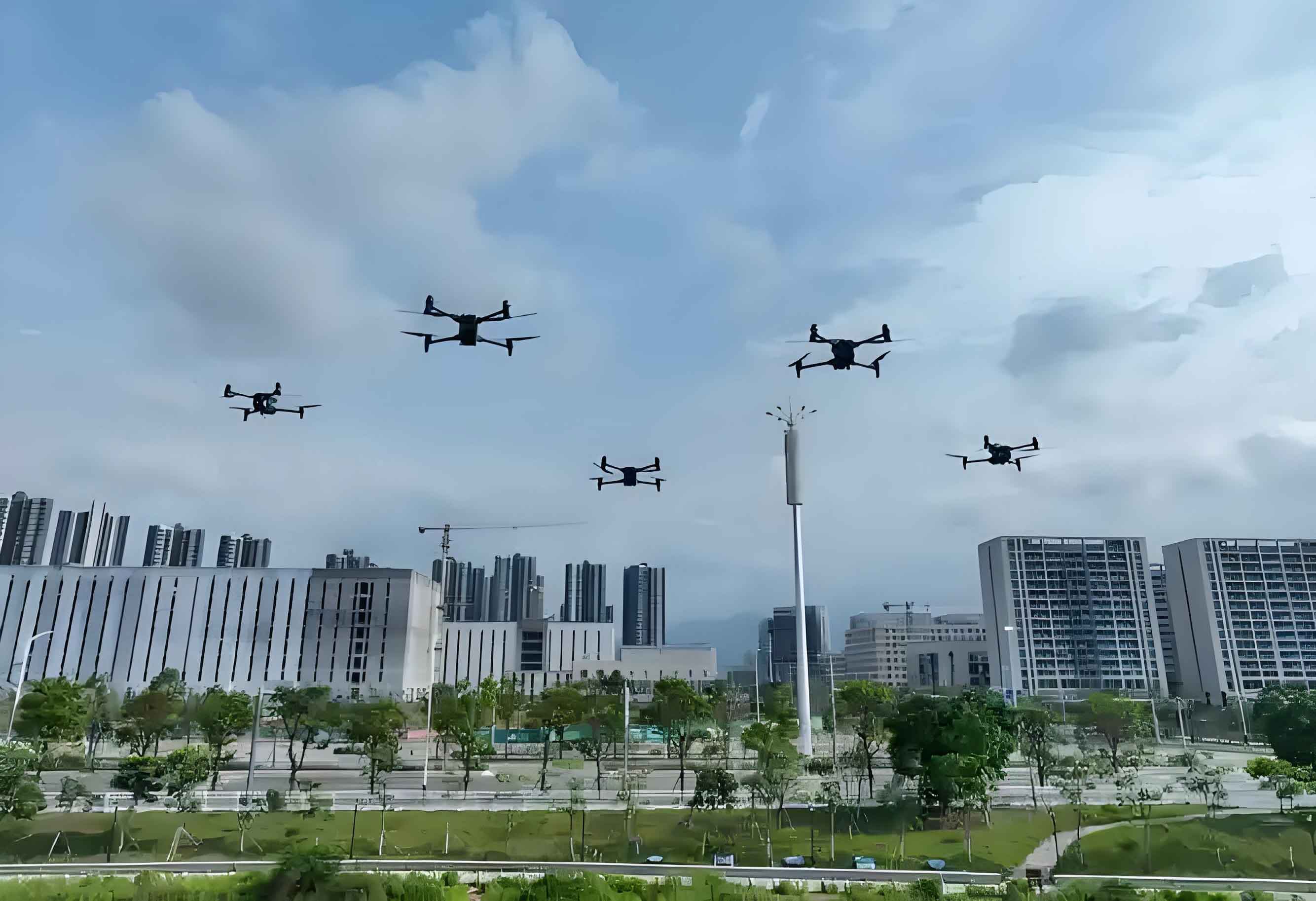
The future development trajectory shows low altitude UAVs becoming deeply integrated across port ecosystems. Advancements will focus on swarm coordination for large-scale operations:
$$ E_{\text{swarm}} = N \times \eta_{\text{single}} \times C_{\text{coordination}} $$
where $N$ represents drone quantity, $\eta$ individual efficiency, and $C$ coordination coefficient (0.8–0.95). Standardization of drone operations will accelerate through ISO-compliant frameworks, while cybersecurity protocols evolve to protect data links from emerging threats.
Ports adopting low altitude drone technologies demonstrate 18–34% operational efficiency improvements and 22–41% safety incident reductions. The continuous innovation cycle in UAV capabilities ensures these metrics will further optimize as artificial intelligence, battery technology, and sensor miniaturization advance. Strategic implementation positions ports for sustainable growth within the expanding $1.5 trillion global low-altitude economy.