
In modern military and civilian applications, drone formations have gained significant attention due to their potential for collaborative tasks such as surveillance, reconnaissance, and payload delivery. However, reliance on Global Navigation Satellite Systems (GNSS) for navigation poses a critical vulnerability, as GNSS signals are susceptible to jamming and spoofing in contested environments. To address this, autonomous navigation methods that do not depend on GNSS are essential for robust drone formation operations. In this work, I propose and simulate a collaborative navigation scheme for drone formations that integrates Strapdown Inertial Navigation System (SINS), Doppler Velocity Log (DVL), and Air Data System (ADS), with a focus on real-time wind velocity estimation to enhance accuracy.
The core challenge in drone formation navigation without GNSS is the accumulation of errors from inertial sensors. While SINS provides autonomous navigation, its errors drift over time. To mitigate this, auxiliary sensors like DVL and ADS can be used in integrated navigation systems. DVL measures ground speed based on the Doppler effect, and ADS provides airspeed, barometric altitude, and flow angles. However, ADS measurements include wind velocity components, which must be estimated and removed for effective integration. This is particularly crucial in drone formations where wind conditions can vary and impact multiple drones simultaneously. My approach involves a master-slave architecture where a leader drone, equipped with SINS, DVL, and ADS, performs self-navigation and estimates wind velocity, while follower drones, equipped only with SINS and ADS, utilize the shared wind estimates for their own navigation. This collaborative framework aims to reduce costs and improve overall formation navigation precision.
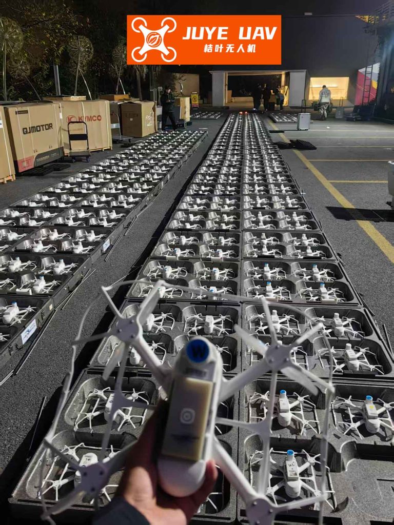
Drone formations often operate in dynamic environments where wind can significantly affect flight paths. Traditional wind estimation methods, such as horizontal airspeed nulling or GPS-based approaches, are either operationally restrictive or dependent on external systems. My method leverages the inherent sensor fusion within the drone formation to achieve real-time, three-dimensional wind estimation. The leader drone combines DVL and ADS measurements to estimate wind velocity, modeling it as a combination of constant and correlated components. This estimate is then broadcast to follower drones, enabling them to correct their ADS-derived airspeed for wind effects and perform SINS/ADS integrated navigation. This collaborative strategy not only enhances individual drone navigation but also fosters resilience in the drone formation as a whole.
To formalize this, I develop mathematical models for the system. The wind velocity is represented as a sum of constant and first-order Markov process components. Let $v_w$ be the total wind velocity vector in the navigation frame (East, North, Up), decomposed as:
$$ v_w = v_b + v_r $$
where $v_b$ is the constant wind vector, and $v_r$ is the correlated wind vector. The dynamics are given by:
$$ \dot{v}_b = 0 $$
$$ \dot{v}_r = -\frac{1}{\tau} v_r + w $$
Here, $\tau$ is the correlation time constant, and $w$ is white noise. This model captures both steady and slowly varying wind conditions relevant to drone formation flights.
For the leader drone in the drone formation, the state vector for the integrated navigation system includes SINS errors. I define a 15-dimensional state vector:
$$ X_{\text{SINS}} = [\phi, \delta v, \delta p, \epsilon, \nabla]^T $$
where $\phi$ is the attitude error vector, $\delta v$ is the velocity error vector, $\delta p$ is the position error vector, $\epsilon$ is the gyroscope bias, and $\nabla$ is the accelerometer bias. The system dynamics follow:
$$ \dot{X}_{\text{SINS}} = F_{\text{SINS}} X_{\text{SINS}} + W_{\text{SINS}} $$
$F_{\text{SINS}}$ is the state transition matrix derived from SINS error equations, and $W_{\text{SINS}}$ is process noise. Measurements for the leader come from DVL and ADS. The DVL measures ground speed in the body frame, transformed to the navigation frame using the attitude matrix $C_b^n$ from SINS:
$$ v_{\text{DVL}}^n = C_b^n v_{\text{DVL}}^b = v^n + \delta v_{\text{DVL}} $$
where $v^n$ is the true velocity, and $\delta v_{\text{DVL}}$ is measurement error. The SINS-derived velocity is $v_I^n = v^n + \delta v_I$. Thus, the velocity measurement residual is:
$$ Z_v^m = v_I^n – v_{\text{DVL}}^n = \delta v_I – \delta v_{\text{DVL}} $$
Similarly, the altitude measurement residual from ADS barometric height $h_{\text{ADS}}$ and SINS height $h_I$ is:
$$ Z_h^m = h_I – h_{\text{ADS}} = \delta h_I – \delta h_{\text{ADS}} $$
These are combined into an observation vector $Z^m = [Z_v^m, Z_h^m]^T$ with observation matrix $H^m$ and noise $V^m$.
Wind estimation by the leader uses a separate state vector $X_{\text{wind}} = [v_b, v_r]^T$. The dynamics are as above, and the observation is derived from the difference between ADS airspeed and DVL ground speed. The ADS airspeed in the navigation frame is:
$$ v_{\text{ADS}}^n = C_b^n C_{\alpha\beta} v_{\text{ADS}} = v^n – v_w^n + \delta v_{\text{ADS}} $$
where $C_{\alpha\beta}$ is the transformation from wind to body frame using angle-of-attack and sideslip from ADS. The DVL measurement is as before. Thus, the wind observation is:
$$ Z_{\text{wind}} = v_{\text{ADS}}^n – v_{\text{DVL}}^n = v_w^n + \delta v_{\text{ADS}} – \delta v_{\text{DVL}} $$
This relates to $X_{\text{wind}}$ via $v_w^n = v_b + v_r$, yielding an observation model $Z_{\text{wind}} = H_{\text{wind}} X_{\text{wind}} + V_{\text{wind}}$.
For follower drones in the drone formation, the state vector is identical to the leader’s SINS state. However, they lack DVL, so their velocity measurement uses ADS airspeed corrected with the leader’s wind estimate $\hat{v}_w$. The SINS velocity is $v_I^n$, and the corrected ADS airspeed is $v_{\text{ADS}}^n + \hat{v}_w$. The residual becomes:
$$ Z_v^s = v_I^n – (v_{\text{ADS}}^n + \hat{v}_w) = \delta v_I – \delta v_{\text{ADS}} – \delta v_w $$
where $\delta v_w$ is the error in wind estimation. Altitude measurement is similar to the leader. This allows followers to perform SINS/ADS integration without direct wind sensing, leveraging the collaborative nature of the drone formation.
To evaluate this scheme, I conduct comprehensive simulations. The simulation framework includes trajectory generation, wind modeling, sensor data synthesis, and algorithm implementation. Key parameters are summarized in Table 1, which details the error characteristics of navigation systems used in the drone formation.
| System | Error Source | Error Value |
|---|---|---|
| SINS | Gyro Constant Bias (°/h) | 0.02 |
| Angle Random Walk (°/√h) | 0.05 | |
| Accelerometer Constant Bias (μg) | 100 | |
| Velocity Random Walk (μg/√Hz) | 10 | |
| ADS | Airspeed Error (m/s) | 2.0 |
| Barometric Altitude Error (m) | 5.0 | |
| DVL | Doppler Velocity Error (m/s) | 0.5 |
The drone formation consists of one leader and one follower. Initial conditions are set for a straight-and-level flight at 3000 m altitude, with a heading of 45°. The wind model includes constant wind $v_b = [5, 3, 1]^T$ m/s and correlated wind with $\tau = 30$ s. Simulation duration is 400 seconds, sufficient to observe error dynamics in the drone formation.
I first simulate pure inertial navigation to establish a baseline. The results show unbounded growth in velocity and position errors, with East and North position errors reaching -189.9 m and -239.1 m, respectively, and vertical error at 650.9 m after 400 seconds. This underscores the inadequacy of SINS alone for prolonged drone formation operations.
Next, I implement the proposed collaborative navigation. The leader estimates wind velocity using DVL and ADS data. The estimation performance is quantified by the root-mean-square error (RMSE) over time. For the East, North, and Up components, RMSE values are 0.376 m/s, 0.398 m/s, and 0.394 m/s, respectively, indicating accurate tracking of wind variations. This is critical for maintaining cohesion in the drone formation.
The navigation errors for both leader and follower are then analyzed. Velocity and altitude errors converge to bounded values, as shown in Table 2, which summarizes key error metrics at the end of simulation. The table highlights the improvement over pure SINS.
| Drone | Velocity Error RMSE (m/s) | Altitude Error RMSE (m) | East Position Error (m) | North Position Error (m) |
|---|---|---|---|---|
| Leader (SINS/DVL/ADS) | 0.12 | 4.8 | -60.1 | 47.3 |
| Follower (SINS/ADS with wind estimate) | 0.15 | 5.1 | -50.4 | 63.3 |
| Pure SINS (Baseline) | 2.5 | 650.9 | -189.9 | -239.1 |
To statistically assess horizontal positioning accuracy, I compute the Radial Error Rate (RER) and Circular Error Probable (CEP) over multiple Monte Carlo runs. The results for 50 and 100 trials are in Table 3. The collaborative approach reduces CEP by approximately 40% compared to pure SINS, demonstrating significant enhancement for the drone formation.
| Navigation Method | CEP (N=50) | CEP (N=100) |
|---|---|---|
| Pure SINS | 0.5327 | 0.5691 |
| Leader (Collaborative) | 0.3243 | 0.3257 |
| Follower (Collaborative) | 0.3290 | 0.3386 |
The improvement stems from effective wind estimation and sensor fusion. The leader’s ability to provide accurate wind estimates allows followers to compensate for wind-induced errors in ADS measurements. This synergy within the drone formation mitigates error accumulation. The position error divergence is delayed, with horizontal errors growing at a slower rate. For instance, the leader’s East error grows at approximately 0.15 m/s, compared to 0.47 m/s for pure SINS. This is vital for short-duration missions where GNSS is unavailable.
Further analysis involves sensitivity studies. I vary wind conditions and sensor errors to test robustness. The collaborative scheme maintains performance across scenarios, though accuracy degrades with increasing ADS noise. This underscores the importance of sensor quality in drone formation navigation. Additionally, I explore scaling to larger formations. With multiple followers, the leader’s wind estimate can be shared broadly, but communication delays might introduce errors. Future work could address distributed estimation algorithms for drone formations.
The mathematical models are integral to this analysis. The SINS error dynamics can be expanded. For example, the attitude error equation is:
$$ \dot{\phi} = -\omega_{in}^n \times \phi + \delta \omega_{in}^n – C_b^n \epsilon $$
where $\omega_{in}^n$ is the angular rate of the navigation frame relative to the inertial frame. The velocity error equation is:
$$ \delta \dot{v}^n = f^n \times \phi + C_b^n \nabla – (2\omega_{ie}^n + \omega_{en}^n) \times \delta v^n + v^n \times (2\delta \omega_{ie}^n + \delta \omega_{en}^n) $$
Here, $f^n$ is specific force, $\omega_{ie}^n$ is Earth rotation rate, and $\omega_{en}^n$ is transport rate. These equations form the basis of $F_{\text{SINS}}$.
For the Kalman filter used in integration, the prediction and update steps are standard. The state covariance propagation is:
$$ P_{k|k-1} = F_k P_{k-1|k-1} F_k^T + Q_k $$
and the update with measurement $Z_k$ is:
$$ K_k = P_{k|k-1} H_k^T (H_k P_{k|k-1} H_k^T + R_k)^{-1} $$
$$ P_{k|k} = (I – K_k H_k) P_{k|k-1} $$
This filter is applied separately for leader navigation and wind estimation, and for follower navigation. The real-time aspect is crucial for operational drone formations.
In terms of simulation implementation, I generate trajectories using kinematic equations. For straight flight, the position update is:
$$ p_{k+1} = p_k + v_k \Delta t $$
where $v_k$ is velocity. Sensor data are simulated by adding noise to true values. For IMU, specific force and angular rate are derived from motion profiles. The DVL measurement in body frame is:
$$ v_{\text{DVL}}^b = C_n^b v^n + \eta_{\text{DVL}} $$
with $\eta_{\text{DVL}}$ as Gaussian noise. ADS airspeed is computed from true airspeed plus wind and noise.
The collaborative navigation algorithm demonstrates that drone formations can achieve reliable navigation in GNSS-denied environments. The key innovation is the shared wind estimation, which reduces sensor requirements for followers. This is economically advantageous for large-scale drone formations where cost per unit is a concern. Moreover, the method is scalable; with multiple leaders, wind estimates could be fused for improved accuracy.
Potential limitations include dependence on leader reliability and communication integrity. If the leader fails, followers lose wind updates. Redundancy mechanisms, such as dynamic leader election or multi-source estimation, could be integrated. Also, the wind model assumes spatial homogeneity, which may not hold in complex terrains. Future extensions could incorporate adaptive wind models or machine learning techniques for drone formations operating in turbulent conditions.
In conclusion, my simulation-based study validates a collaborative navigation scheme for drone formations that leverages wind velocity estimation. The master-slave architecture enables accurate navigation without GNSS, with errors bounded and horizontal divergence significantly reduced. This approach meets the accuracy requirements for short-duration drone formation flights and offers a pathway towards fully autonomous swarm operations. Continued research will focus on real-time implementation and testing in physical drone formations to further refine the models and algorithms.