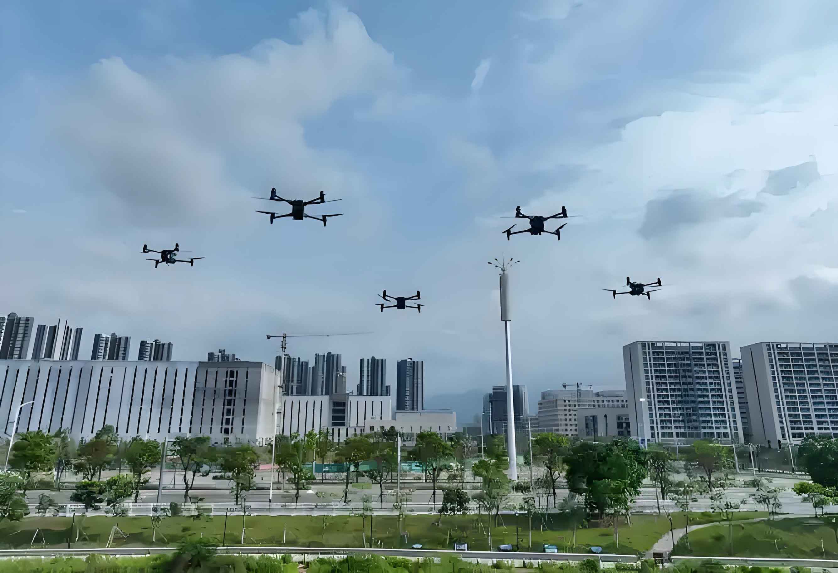
The rapid expansion of low-altitude economies has positioned low altitude drones as critical technological enablers. Low-altitude airspace typically extends up to 1,000 meters above ground or water surfaces, expandable to 3,000 meters based on regional requirements. These low altitude UAV systems drive innovation across logistics, emergency response, and infrastructure monitoring, yet introduce significant security challenges requiring advanced mitigation frameworks.
System Architecture of Low Altitude Drones
Low altitude drone systems comprise three integrated components:
| Component | Subsystems | Functionality |
|---|---|---|
| Aircraft | Airframe | Structural integrity |
| Propulsion System | Thrust generation | |
| Flight Controller | Stability management | |
| Sensors | Environmental awareness | |
| Ground Station | Control Interface | Mission planning & execution |
| Data Link | Radio/WiFi | Short-range communication |
| Cellular/Satellite | Long-range connectivity |
The operational workflow follows a closed-loop control paradigm:
- Ground station transmits commands via control link: $$ \vec{C}_{gs} = f(H_{set}, V_{set}, \vec{P}_{set}) $$
- Onboard controller adjusts actuators: $$ \vec{\tau} = K_p(\vec{P}_{actual} – \vec{P}_{set}) + K_d\frac{d\vec{\theta}}{dt} $$
- Sensors capture real-time telemetry: $$ \vec{T} = [\vec{\omega}, \vec{a}, \vec{P}_{GPS}, \Phi_{vid}]^T $$
- Data link returns telemetry for station processing
Safety Risk Assessment for Low Altitude UAV Operations
Unregulated low altitude drone activities generate three primary threat vectors:
1. Aviation Safety Hazards
Non-cooperative low altitude UAV incursions near flight corridors create collision risks quantified by:
$$ P_{coll} = \frac{\rho_{air} \cdot A_{eff} \cdot v_{rel}}{d_{min}^2} \cdot t_{exp} $$
Where $ \rho_{air} $ = air traffic density, $ A_{eff} $ = effective cross-section, $ v_{rel} $ = relative velocity, $ d_{min} $ = minimum separation, and $ t_{exp} $ = exposure time.
2. Public Safety Threats
Ground impact risk probability for low altitude drones follows:
$$ P_{impact} = \lambda_{comp} + \lambda_{op} + \lambda_{RFI} $$
Where failure rates encompass component ($ \lambda_{comp} $), operator ($ \lambda_{op} $), and radio frequency interference ($ \lambda_{RFI} $) factors.
3. Privacy and Data Security Vulnerabilities
Sensitive data extraction risk increases with payload capabilities:
| Payload Type | Data Vulnerability Index |
|---|---|
| HD cameras | 0.92 |
| Thermal sensors | 0.87 |
| RF interceptors | 0.95 |
| Lidar scanners | 0.78 |
Detection Systems for Low Altitude Drone Identification
Multi-spectrum sensing solutions enable robust low altitude UAV identification:
| Detection Method | Effective Range | Accuracy | Limitations |
|---|---|---|---|
| Radio Frequency | 2-8 km | ±1.5° azimuth | Encrypted protocols |
| Electro-Optical | 0.5-3 km | 0.1 mrad resolution | Weather dependency |
| Acoustic | 0.1-1 km | 85% signature match | Urban noise pollution |
| Radar | 3-10 km | ±0.5 m position | Clutter interference |
Radar detection performance follows the range equation:
$$ P_r = \frac{P_t G_t G_r \lambda^2 \sigma}{(4\pi)^3 R^4 L} $$
Where $ P_r $ = received power, $ P_t $ = transmitted power, $ G $ = antenna gains, $ \lambda $ = wavelength, $ \sigma $ = radar cross-section, $ R $ = range, and $ L $ = system losses.
Defensive Countermeasures Against Low Altitude UAV Threats
Mitigation strategies employ layered kinetic and non-kinetic approaches:
Soft-Kill Systems
Electronic countermeasures disrupt low altitude drone control links:
$$ J/S = \frac{P_j G_j}{P_s G_s} \left( \frac{4\pi d_j^2}{G(\theta)} \right) \frac{B_s}{B_j} $$
Where $ J/S $ = jamming-to-signal ratio, $ P $ = power, $ G $ = gain, $ d $ = distance, $ B $ = bandwidth, and $ G(\theta) $ = antenna discrimination.
- Navigation Spoofing: Generates counterfeit GNSS signals with $ \delta_{pos} > 50m $ error
- Control Link Jamming: Overwrites command signals at $ P_j > 20 \times P_s $
- Protocol Hijacking: Exploits authentication vulnerabilities: $ \tau_{crack} \propto \frac{1}{\epsilon_{enc}} $
Hard-Kill Systems
Physical interception mechanisms for low altitude UAV neutralization:
| Method | Engagement Range | Effectiveness | Energy Requirement |
|---|---|---|---|
| Net Projectiles | 0.1-0.3 km | 92% capture rate | Kinetic: 50-200 J |
| Laser Systems | 0.5-3 km | 0.8 s dwell time | Optical: 10-30 kW |
| Microwave Emitters | 0.3-1 km | 95% area denial | RF: 100 kW/m² |
| Kinetic Interceptors | 1-5 km | 0.97 Pk | Propellant: 200-500 g |
Laser destructive power follows thermal diffusion principles:
$$ t_{kill} = \frac{\rho c_p \Delta T \delta}{2\kappa I_0} \left(1 + \frac{2h}{\kappa}\delta\right) $$
Where $ \rho $ = target density, $ c_p $ = specific heat, $ \Delta T $ = critical temperature rise, $ \delta $ = material thickness, $ \kappa $ = thermal conductivity, $ I_0 $ = irradiance, and $ h $ = convective coefficient.
Integrated Defense Architecture for Low Altitude UAV Mitigation
Effective protection requires sensor-to-shooter integration:
- Multi-layered surveillance grid establishes detection probability: $$ P_d = 1 – \prod_{i=1}^n (1 – P_{d_i}) $$
- Sensor fusion algorithms correlate targets: $$ C_{fusion} = \sum \omega_i \cdot \Phi(s_i) $$
- Countermeasure selection follows decision matrix: $$ \arg\max_{CM} \left( \frac{E_{effect}}{C_{op} \cdot R_{collat}} \right) $$
Conclusion and Development Trajectory
As low altitude drone deployments scale exponentially, regulatory frameworks must evolve synchronously with counter-UAV technologies. Future development priorities include:
- Standardized spectrum allocation for low altitude UAV command-and-control
- Automated airspace deconfliction protocols: $ \nabla \cdot \vec{V}_{sep} \geq \delta_{min} $
- Blockchain-based flight authorization systems
- AI-enhanced threat assessment engines: $ \Lambda_{threat} = f(\sigma_{RF}, \beta_{flight}, \gamma_{payload}) $
Continuous innovation in low altitude drone detection and neutralization remains imperative for secure integration into national airspace systems. The operational balance between utility and security will define sustainable growth in low-altitude economies.