We explore the transformative impact of camera drone and camera UAV systems on power engineering surveying, focusing on mountainous terrain applications. These technologies overcome traditional limitations through integrated geospatial solutions.
Methodology Comparison
Traditional surveying approaches exhibit significant constraints in complex terrain:
| Method | Accuracy | Efficiency (km/day) | Terrain Limitations |
|---|---|---|---|
| Manual Tape Survey | ±1-3m | 0.3-0.5 | High |
| Total Station | ±0.01m | 1-1.5 | Moderate |
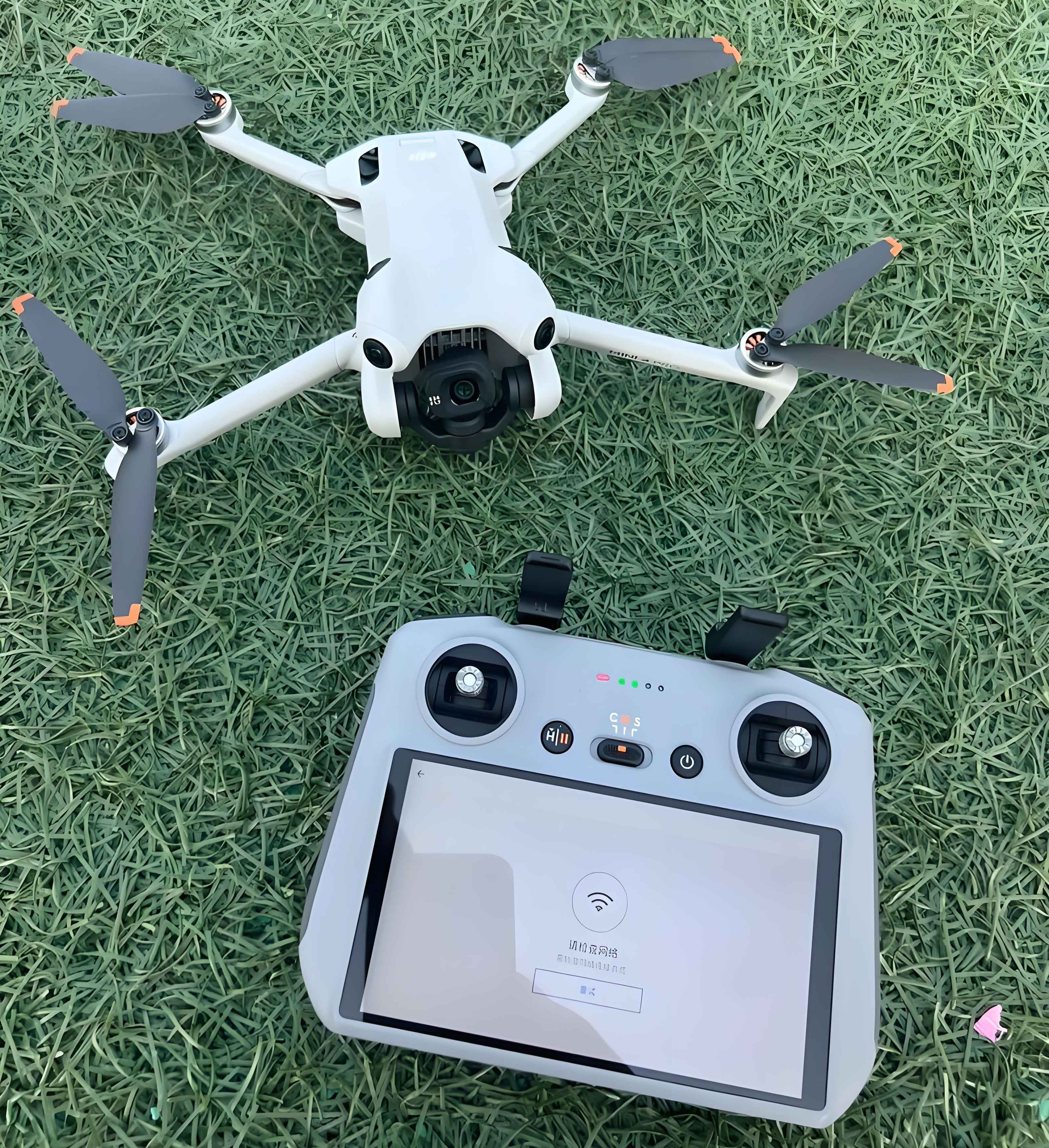
| Camera UAV System | ±0.05m | 8-12 | Low |
The camera drone solution integrates multiple technologies through:
$$ \text{UAV}_{output} = \alpha(\text{Orthophoto}) + \beta(\text{Lidar}) + \gamma(\text{GNSS}) + \delta(\text{IMU}) $$
Where coefficients represent sensor fusion weighting parameters.
Operational Advantages
Camera UAV systems demonstrate superior performance metrics:
- Path Optimization: Minimizes route length through visibility analysis:
$$ L_{opt} = \min_{p\in P} \left( \int_{0}^{D} \sqrt{1 + \left( \frac{dz}{dx} \right)^2 } dx \right) $$
where P represents all possible paths through terrain matrix. - Resource Efficiency: Reduces labor requirements by 60% through automated feature extraction
- Data Integration: Camera drone platforms synchronize outputs with BIM/CAD environments through coordinate transformation:
$$ \begin{bmatrix} X_{CAD} \\ Y_{CAD} \\ Z_{CAD} \end{bmatrix} = \mathbf{R} \begin{bmatrix} X_{UAV} \\ Y_{UAV} \\ Z_{UAV} \end{bmatrix} + \begin{bmatrix} T_x \\ T_y \\ T_z \end{bmatrix} $$
Implementation Workflow
Our camera UAV deployment protocol:
| Phase | Process | Tools |
|---|---|---|
| 1. Georeferencing | Coordinate system alignment | RTK-GNSS, GCPs |
| 2. Mission Planning | Autonomous flight pathing | UgCS, DJI Pilot |
| 3. Data Acquisition | Nadir/oblique imaging | 5-band multispectral |
| 4. Point Cloud Processing | DSM generation | Pix4D, Agisoft |
| 5. Feature Extraction | Pylon position calculation | CloudCompare |
Coordinate Transformation
Camera drone data integrates with engineering designs through projection conversion:
- Transform WGS84 to local projection:
$$ \begin{cases} x = f(\phi, \lambda, k_0) \\ y = g(\phi, \lambda, k_0) \end{cases} $$
where \(k_0\) represents scale factor - Export to CAD-compatible format (DXF)
- Field verification via total station
Typical coordinate transformation results:
| Control Point | Easting (m) | Northing (m) | Latitude (°) |
|---|---|---|---|
| PL-01 | 3391049.591 | 482093.577 | 30.6378 |
| PL-02 | 3388256.272 | 470990.546 | 30.6124 |
| PL-03 | 3385978.623 | 459807.014 | 30.5915 |
Technical Validation
Camera drone measurements undergo rigorous verification:
$$ \epsilon = \sqrt{ \frac{\sum_{i=1}^{n} (M_{UAV_i} – M_{TS_i})^2}{n} } < 0.08m $$
Where \(M_{UAV}\) represents camera UAV measurements and \(M_{TS}\) denotes total station ground truth data.
Economic Impact Analysis
Implementation yields significant benefits across metrics:
$$ \text{ROI} = \frac{ \Delta C_{labor} + \Delta C_{material} – C_{UAV} }{C_{UAV}} \times 100\% > 240\% $$
Where:
\(\Delta C_{labor}\) = Labor cost reduction (60%)
\(\Delta C_{material}\) = Material optimization savings (20%)
\(C_{UAV}\) = Camera drone operational costs
Conclusion
Camera drone and camera UAV technologies revolutionize power infrastructure development through:
- Enhanced spatial awareness via 3D point cloud visualization
- 20% material optimization through precision routing
- 60% reduction in hazardous terrain exposure
- Creation of permanent digital twins for asset management
Future development will integrate AI-based obstacle recognition and automated corridor planning algorithms, further advancing camera drone capabilities in critical infrastructure projects.