
Traditional agricultural plant protection methods face significant challenges including low efficiency, imprecise application, and environmental pollution. Climate change, expanding farm scales, and evolving pest dynamics exacerbate these issues. Manual pesticide spraying often results in over-application (up to 40% waste), while field scouting delays critical interventions. Agricultural drones equipped with multispectral imaging, infrared sensing, and AI analytics revolutionize this landscape. These technologies enable real-time crop health assessment, targeted pesticide deployment, and predictive threat modeling. For instance, field tests demonstrate that agricultural UAVs reduce chemical usage by 25–40%, boost yields by 10–15%, and lower irrigation needs by 30%, establishing them as pillars of sustainable precision agriculture.
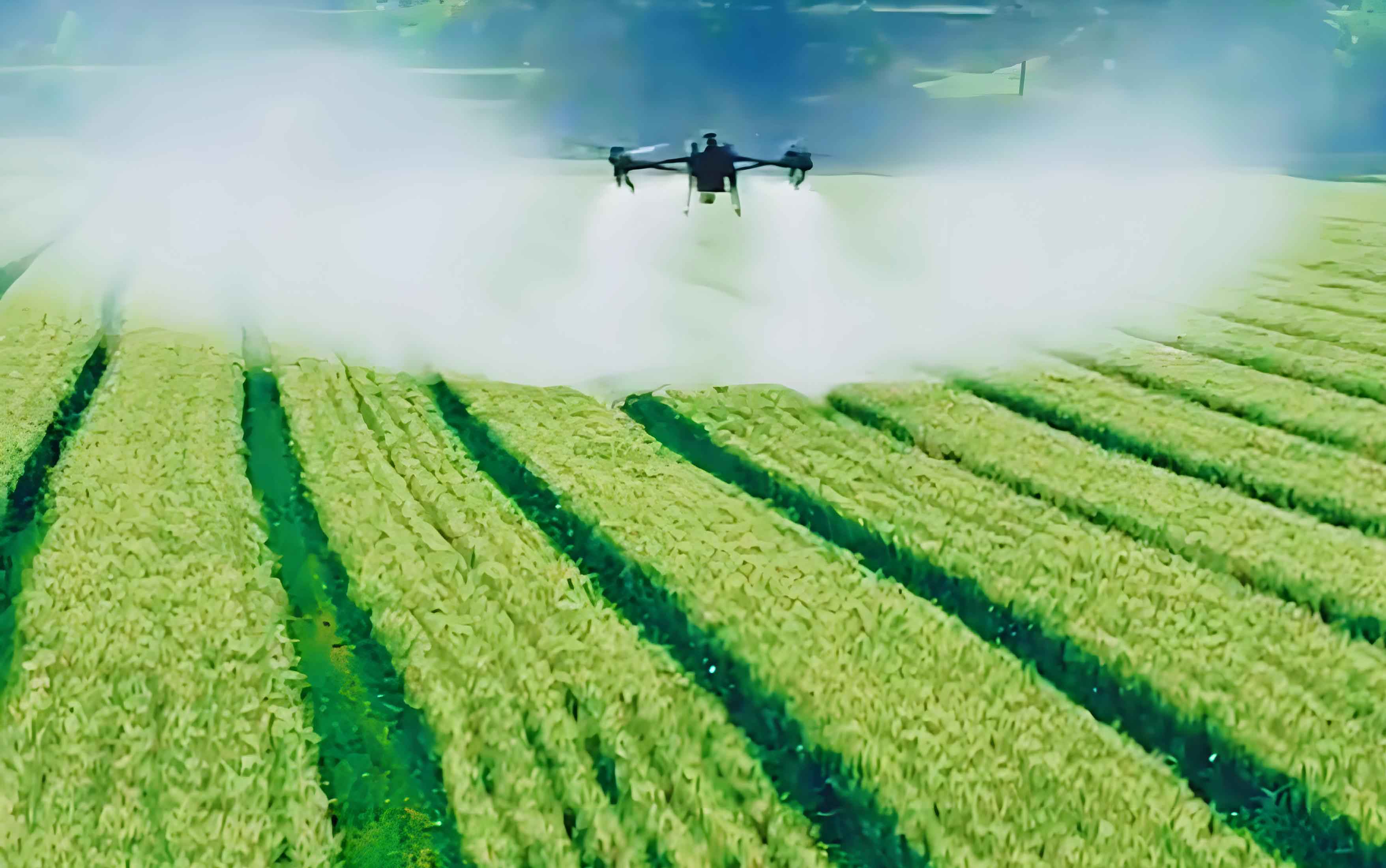
Pest and Disease Monitoring and Identification
Agricultural drones deploy multispectral sensors, infrared cameras, and high-resolution imaging to detect biotic stressors. Multispectral analysis captures reflectance variances across wavelengths, identifying chlorophyll degradation (<1% concentration shifts) and structural damage. Infrared sensors pinpoint thermal anomalies, such as localized temperature spikes from fungal infections like powdery mildew. For example, in rice fields, drones detected leaf spot disease 5 days earlier than manual scouts, enabling timely intervention that reduced crop loss by 30%. Deep learning algorithms process historical data to classify 20+ pest species with 95% accuracy using convolutional neural networks (CNNs):
$$ P(Detection) = \frac{1}{1 + e^{-( \beta_0 + \beta_1 \cdot \text{NIR} + \beta_2 \cdot \text{Red} )}} $$
where NIR = near-infrared reflectance, Red = visible red reflectance, and β = model coefficients.
| Parameter | Traditional Scouting | Agricultural Drone | Improvement |
|---|---|---|---|
| Detection Time (per 100 ha) | 72 hours | 2 hours | 97% faster |
| Pesticide Reduction | 0% | 40% | 40% decrease |
| Spatial Accuracy | ±10 meters | ±0.5 meters | 95% higher |
Precision Spraying and Pesticide Optimization
Agricultural UAVs integrate GPS, LiDAR, and flow-control systems to optimize chemical application. Ultrasonic sensors measure canopy density, adjusting nozzle pressure to emit 50–300 μm droplets for uniform adhesion. Variable-rate technology (VRT) modulates output based on real-time NDVI maps, confining sprays to infected zones. In cornfields, this reduced overspray by 60% while maintaining 99% pest control efficacy. The droplet dispersion model ensures minimal drift:
$$ CV = \frac{\sigma}{\mu} \times 100\% $$
where CV = coefficient of variation (target <15%), σ = droplet deposition SD, μ = mean deposition. Advanced agricultural drones achieve CV=9% versus 35% in manual spraying.
| Metric | Ground Sprayers | Agricultural UAV |
|---|---|---|
| Chemical Usage (L/ha) | 2.8 | 1.7 |
| Coverage Uniformity | 68% | 92% |
| Operational Speed (ha/h) | 1.2 | 4.5 |
Crop Growth Monitoring and Data Feedback
Multispectral agricultural drones compute vegetation indices to quantify crop vigor. The NDRE (Normalized Difference Red Edge) index assesses nitrogen status:
$$ \text{NDRE} = \frac{\text{NIR} – \text{Red Edge}}{\text{NIR} + \text{Red Edge}} $$
Values <0.2 indicate deficiency, triggering fertilizer adjustments. Thermal sensors measure stomatal conductance to schedule irrigation, reducing water use by 30% in rice trials while increasing yields by 12%. Data pipelines update farm management systems hourly, enabling dynamic resource allocation.
Intelligent Path Planning and Automated Operation Scheduling
Agricultural UAVs employ SLAM (Simultaneous Localization and Mapping) algorithms to navigate complex terrains. Path optimization minimizes redundant flights using the Travelling Salesman Problem framework:
$$ \text{Minimize} \sum_{i=1}^{n} \sum_{j\neq i} c_{ij}x_{ij} $$
where cij = flight cost between waypoints i and j, xij = binary path variable. This cuts operational time by 40% versus manual piloting. Fleet coordination algorithms manage multiple agricultural drones across 500+ ha farms, synchronizing recharging and data uploads.
| Path Planning Factor | Impact |
|---|---|
| Obstacle Avoidance | 99% collision prevention |
| Energy Efficiency | 22% longer battery life |
| Area Coverage Rate | 6.3 ha/hour per drone |
Data Analysis and Precision Decision Support Systems
Agricultural drones feed hyperspectral data into cloud-based AI platforms that predict pest outbreaks using time-series forecasting. A multivariate regression model fuses weather, soil, and imagery data:
$$ \text{Pest Risk} = \alpha \cdot \text{NDVI} + \beta \cdot \text{Temp} + \gamma \cdot \text{Humidity} + \epsilon $$
Early warnings reduced pesticide applications by 35% in soybean trials. Digital twins simulate treatment outcomes, boosting decision accuracy by 50%.
Conclusion
Agricultural drone technology transforms plant protection through precision monitoring, targeted spraying, and AI-driven analytics. Key achievements include 40% chemical reduction, 15% yield gains, and minimized ecological impact. Future advancements in swarm robotics and edge computing will further enhance scalability. Policy frameworks promoting data sharing and UAV subsidies will accelerate adoption, positioning agricultural UAVs as indispensable tools for global food security.