
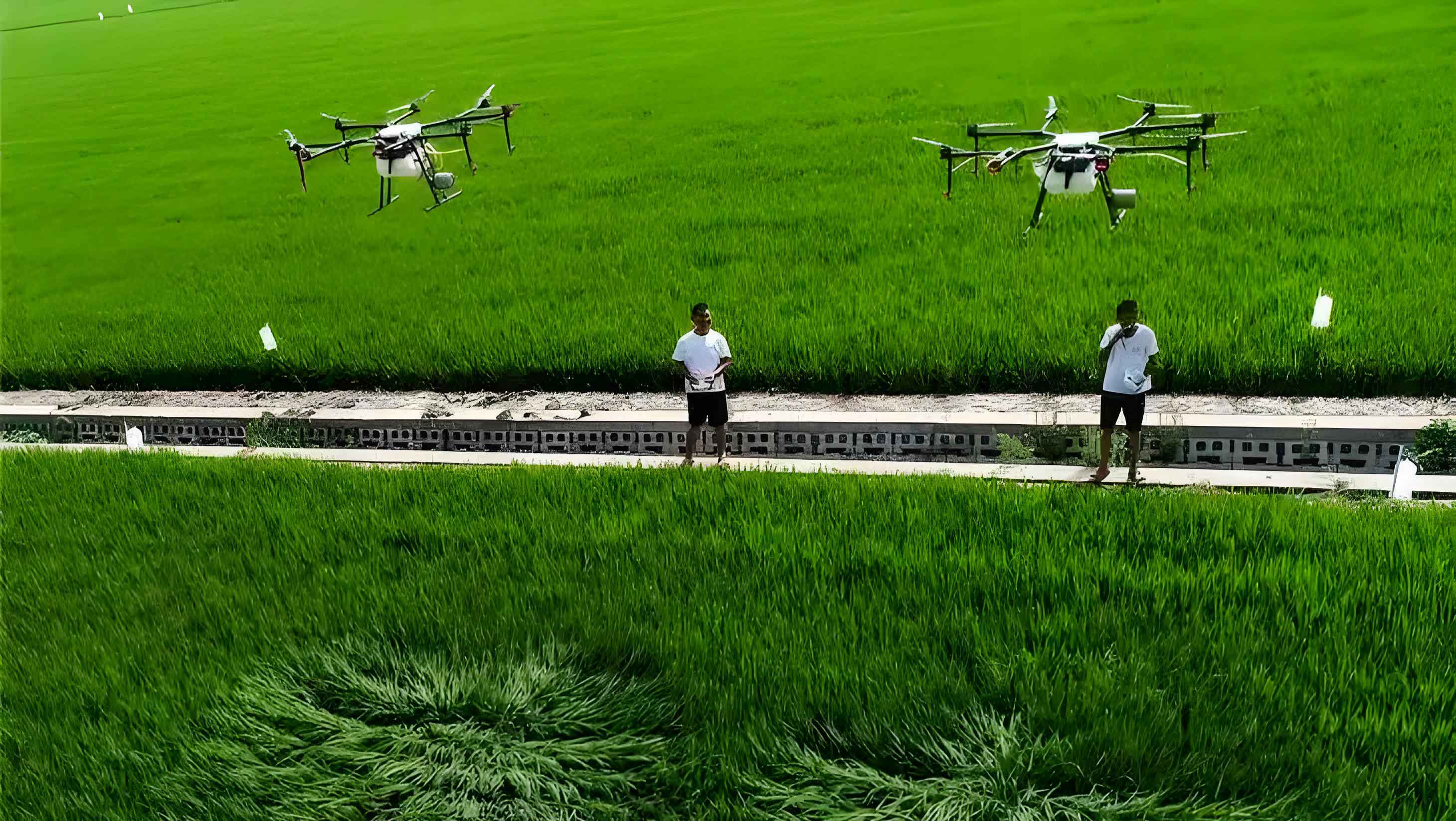
Water pollution from agricultural runoff poses significant environmental challenges, particularly in arid irrigation districts where fertilizer overuse leads to nitrogen and phosphorus contamination of water bodies. Traditional monitoring methods relying on manual sampling are labor-intensive and spatially limited. Our research demonstrates how agricultural UAV technology revolutionizes this process through high-resolution multispectral data acquisition. Using the DJI Matrice 300 RTK equipped with MS600 Pro sensors, we captured six spectral bands (450–840 nm) at 20m altitude over drainage ditches in China’s Hetao Irrigation District.
We collected 120 synchronized water samples and spectral measurements across summer and autumn seasons. Spectral indices were calculated through 18 transformations, with key correlations identified:
| Spectral Index | Formula | TN (Summer) | TP (Autumn) | EC (Summer) | pH (Autumn) |
|---|---|---|---|---|---|
| V4 | R720 | -0.353** | – | – | – |
| V6 | R840 | – | -0.423** | – | – |
| V15 | R660/R840 | – | – | – | -0.384** |
| V18 | R660/R450 | – | – | 0.458** | – |
** Significant at p<0.01
The SR-XGBoost model integrates statistical regression with extreme gradient boosting. XGBoost minimizes the objective function:
$$ \psi(\phi) = \sum l(y_i, A_i) + \sum \Omega(f_k) $$
where regularization term Ω prevents overfitting:
$$ \Omega(f_k) = \gamma T + \frac{1}{2} \lambda \|\omega\|^2 $$
Model performance significantly outperformed alternatives:
| Model Type | Season | Avg. R² | Avg. RRMSE (%) | Improvement vs Single-Band |
|---|---|---|---|---|
| Single-Band XGBoost | Summer | 0.654 | 7.23 | – |
| Combined-Band XGBoost | Autumn | 0.738 | 4.63 | +12.8% R² |
| SR-XGBoost | Both | 0.872 | 3.46 | +19.3% R² |
Key findings from our agricultural drone surveillance revealed distinct spatiotemporal patterns:
$$ \text{CV}_{TN} = \frac{\sigma}{\mu} = \begin{cases} 1.15\% & \text{(Summer)} \\ 2.27\% & \text{(Autumn)} \end{cases} $$
Pollutant concentrations decreased downstream with 23.92% higher variability in summer TP levels. The agricultural UAV platform detected 17.4% higher mean TN (38.3 mg/L vs 37.14 mg/L) and 26.5% higher EC (3.25 vs 2.39 mS/cm) in summer versus autumn.
Our methodology demonstrates four key advantages for agricultural drone water monitoring: 1) Band combinations (e.g., V15 = R660/R840) improved R² by 6.8% versus single-band models 2) Seasonal adaptation enhanced autumn precision (R² 0.927 vs summer 0.822) 3) The hybrid SR-XGBoost architecture reduced RRMSE by 2.52% 4) Agricultural UAV systems enabled high-resolution pollution mapping impractical with satellites.
This research establishes a framework for operational water quality monitoring in agricultural watersheds using accessible drone technology. Future studies should expand multispectral band selection and integrate real-time sensors with agricultural UAV platforms for dynamic pollution management.