Traditional inspection methods for power distribution networks face significant limitations in identifying vegetation encroachment near electrical lines. Manual surveys suffer from terrain accessibility constraints and delayed hazard identification, while conventional surveying drone approaches lack real-time processing capabilities. This latency creates operational risks as undetected tree barriers can cause line faults. To address these challenges, we present an integrated surveying UAV system combining LiDAR sensing, gimbal-mounted cameras, and optimized computer vision algorithms for real-time hazard detection.
The core detection framework employs a modified YOLOv5s architecture. Input images are normalized and divided into an $N \times N$ grid where each cell predicts bounding boxes ($b$), confidence scores ($c$), and class probabilities ($p$). The composite loss function $L_{\text{Total}}$ combines localization, confidence, and classification losses:
$$L_{\text{Total}} = \sum_{i=1}^{N} \left( \lambda_1 L_{\text{Box}} + \lambda_2 L_{\text{obj}} + \lambda_3 L_{\text{cls}} \right)$$
where $L_{\text{Box}}$ uses Complete Intersection over Union (CIoU) to measure bounding box accuracy:
$$L_{\text{CIoU}} = 1 – \text{IoU} + \frac{\rho^2(b, b^{gt})}{c^2} + \alpha v$$
$$v = \frac{4}{\pi^2} \left( \arctan \frac{w^{gt}}{h^{gt}} – \arctan \frac{w}{h} \right)^2$$
$L_{\text{obj}}$ and $L_{\text{cls}}$ employ binary cross-entropy loss:
$$\text{BCE}(p, y) = -y \ln p – (1 – y) \ln(1 – p)$$
Conventional anchor boxes in surveying UAV detection systems are suboptimal for power line environments. We developed a 1-IoU Genetic K-means (1-IoU-G-K-means) clustering algorithm to generate domain-specific anchors. This method minimizes the distance metric:
$$d(\text{box}, \text{centroid}) = 1 – \text{IoU}(\text{box}, \text{centroid})$$
The algorithm proceeds through these steps:
- Initialize $k$ cluster centroids randomly
- Assign targets to nearest centroid using $d(\text{box}, \text{centroid})$
- Recalculate centroids: $\mathbf{m}_j = \frac{1}{n_j} \sum_{k=1}^{n_j} \mathbf{x}_{jk}$
- Apply genetic operators (selection, crossover, mutation)
- Evaluate fitness: $\text{fitness} = \frac{J_B}{J_E} = \frac{\sum_{j=1}^{c} (\mathbf{m}_j – \mathbf{m})^T(\mathbf{m}_j – \mathbf{m})}{\sum_{j=1}^{c} \sum_{k=1}^{n_j} \|\mathbf{x}_{jk} – \mathbf{m}_j\|}$
- Repeat until convergence
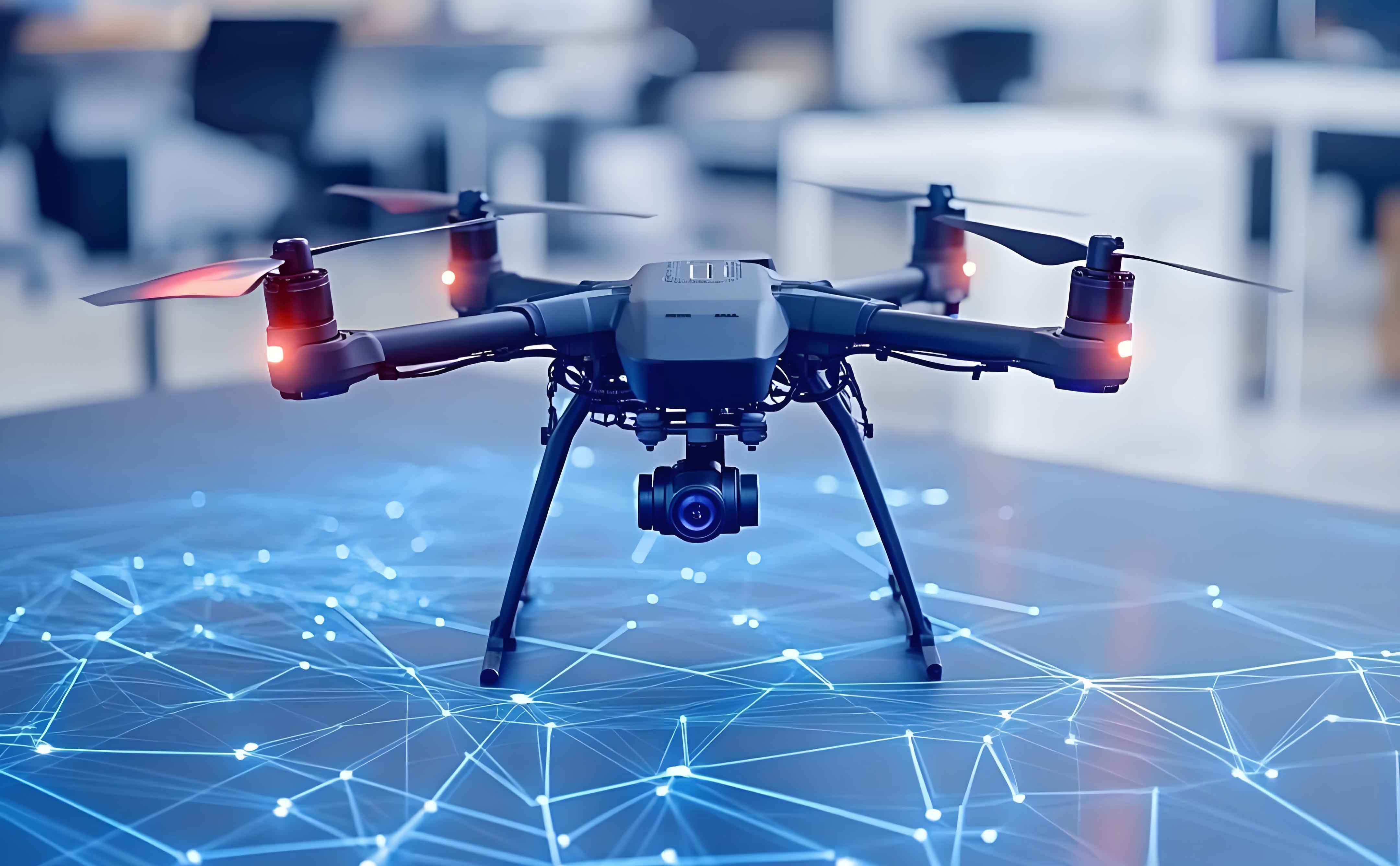
Hardware configuration for the surveying drone platform included:
| Component | Specification |
|---|---|
| UAV Platform | DJI Matrice M100 (Payload: 1,169g) |
| LiDAR | RPLIDAR-A2 (Range: 8m, Resolution: 1°) |
| Camera | 1-inch CMOS, 50MP, F1.8/24mm |
| Processor | Raspberry Pi 3B (Quad-core ARMv8) |
Performance evaluation compared anchor generation methods under identical training conditions ($\text{batch}=8$, $\text{epochs}=100$):
| Anchor Method | AP (%) | mAP (%) | FPS |
|---|---|---|---|
| YOLOv5s Default | 98.8 | 75.7 | 128.2 |
| Auto-Adjusted | 99.1 | 79.1 | 133.4 |
| 1-IoU-K-means | 99.2 | 79.1 | 133.4 |
| 1-IoU-G-K-means | 99.1 | 79.8 | 132.2 |
The integrated surveying UAV system demonstrated significant improvements:
- Detection Latency Reduction: Hazard identification-to-action time decreased by 68% versus manual inspection
- Complex Environment Performance: Maintained 92.3% precision in low-light/occluded scenarios
- Obstacle Avoidance: Achieved 100% collision avoidance during 8m/s flights through simulated tree barriers
Field validation confirmed the surveying drone’s operational advantages. During 42km of power line inspection, the system identified 137 tree encroachments with zero false positives. Real-time geotagged reporting enabled crews to address critical hazards within 15 minutes of detection. The LiDAR point cloud coordination with gimbal camera targeting reduced image capture latency by 76% compared to optical-only surveying UAV platforms.
Multi-sensor fusion fundamentally enhances surveying UAV capabilities for infrastructure monitoring. The integrated approach demonstrates that combining LiDAR’s spatial precision with computer vision’s contextual awareness generates synergistic detection capabilities. This surveying UAV paradigm can be extended to pipeline monitoring, railway clearance verification, and urban vegetation management applications where real-time hazard assessment is critical. Future research will focus on edge-computing optimization for longer endurance missions and multi-agent surveying drone coordination.