Urban stereoscopic mapping is essential for capturing three-dimensional spatial data, serving as the foundation for urban planning, infrastructure development, and environmental monitoring. Surveying drones (UAVs) have revolutionized this field by overcoming traditional limitations like high costs, inefficiency, and environmental constraints. This article examines the principles, advantages, applications, challenges, and solutions of surveying UAVs in urban contexts.
Principles and System Composition of Surveying Drone Mapping
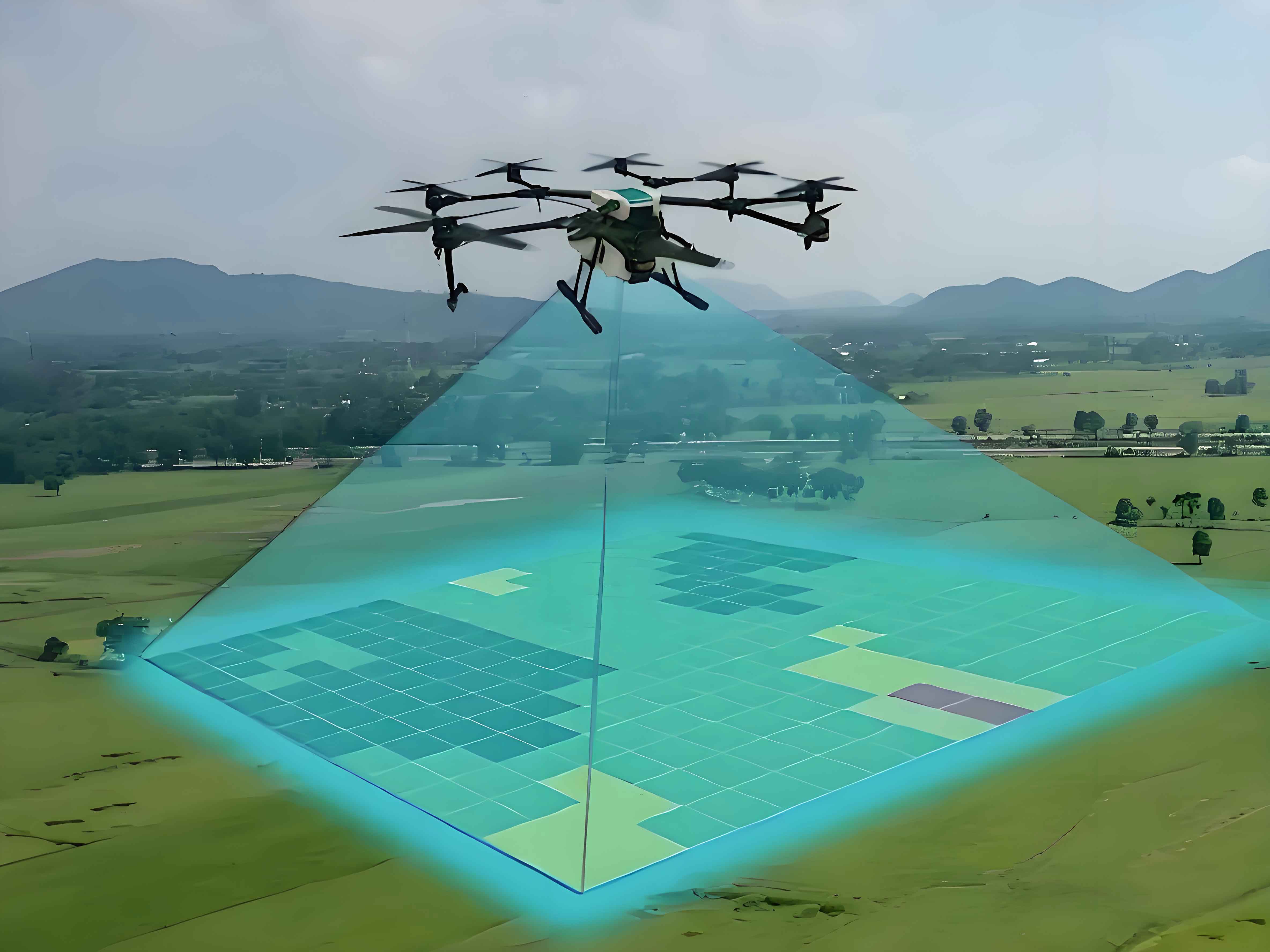
Surveying drones operate on aerial photogrammetry principles. They capture overlapping images from varying altitudes and angles, processed using collinearity equations to reconstruct 3D coordinates. The core equation is:
$$ x – x_0 = -f \frac{a_1(X – X_0) + b_1(Y – Y_0) + c_1(Z – Z_0)}{a_3(X – X_0) + b_3(Y – Y_0) + c_3(Z – Z_0)} $$
$$ y – y_0 = -f \frac{a_2(X – X_0) + b_2(Y – Y_0) + c_2(Z – Z_0)}{a_3(X – X_0) + b_3(Y – Y_0) + c_3(Z – Z_0)} $$
where \( (x, y) \) are image coordinates, \( f \) is focal length, \( (X, Y, Z) \) denote ground coordinates, and \( a_i, b_i, c_i \) represent rotation matrix elements.
A typical surveying UAV system comprises:
- Platform: Fixed-wing (long-range) or multi-rotor (agility).
- Sensors: Optical cameras, LiDAR, or multispectral devices.
- Data Transmission/Storage: Real-time telemetry and onboard storage.
- Ground Control Station: Flight planning and monitoring.
Technical Advantages of Surveying Drones
Surveying UAVs offer transformative benefits:
| Advantage | Description | Impact |
|---|---|---|
| High-Resolution Imaging | Low-altitude flights capture details at 1–5 cm/pixel | Enables precise modeling of buildings, roads, and vegetation |
| Flexibility | Launch/land in confined spaces; rapid deployment | Ideal for dense urban areas and emergency response |
| Cost Efficiency | 60–80% lower costs vs. manned aircraft | Democratizes access to high-quality mapping |
| Multi-Angle Data Fusion | Oblique + nadir imagery combined with LiDAR | Eliminates occlusions; enhances model completeness |
Practical Applications
Surveying UAVs excel in diverse urban scenarios:
| Application | Methodology | Outcome |
|---|---|---|
| Urban Planning | Area-wide photogrammetry at 60m altitude | 3D base maps for zoning and infrastructure design |
| Heritage Conservation | Multi-rotor drones capturing façades at 15m | Millimeter-accurate models for restoration |
| Transportation Monitoring | Periodic LiDAR scans of bridges/tunnels | Deformation detection with ±2cm accuracy |
Challenges and Mitigation Strategies
Despite advantages, surveying drones face hurdles:
| Challenge | Solution | Technical Approach |
|---|---|---|
| Data Accuracy | RTK-GPS + IMU fusion | $$ \sigma_{pos} = \sqrt{\sigma_{RTK}^2 + \sigma_{IMU}^2} < 2 \text{ cm} $$ |
| Processing Complexity | Cloud-based parallel computing | Reduces 100-ha dataset processing from 24h to 2h |
| Regulatory Compliance | Geofencing + ADS-B transponders | Automated no-fly zone adherence |
| Battery Limitations | Hybrid fuel-cell systems | Extends flight time to 180+ minutes |
Conclusion
Surveying drones are indispensable for modern urban stereoscopic mapping. Their ability to deliver high-resolution, cost-effective 3D data transforms city management, though persistent challenges in accuracy, regulations, and endurance require ongoing innovation. Advances in AI processing, swarming technology, and regulatory frameworks will further solidify surveying UAVs as the cornerstone of sustainable urban development.